9433 Frank Rd SW Port Washington, OH 43837
Estimated Value: $355,000
2
Beds
2
Baths
2,960
Sq Ft
$120/Sq Ft
Est. Value
About This Home
This home is located at 9433 Frank Rd SW, Port Washington, OH 43837 and is currently estimated at $355,000, approximately $119 per square foot. 9433 Frank Rd SW is a home located in Tuscarawas County with nearby schools including Port Washington Elementary School, Tuscarawas Middle School, and Indian Valley High School.
Ownership History
Date
Name
Owned For
Owner Type
Purchase Details
Closed on
Feb 29, 2024
Sold by
Gossett Lonnie L and Gossett Virginia B
Bought by
Gossett Lonnie L and Gossett Virginia B
Current Estimated Value
Purchase Details
Closed on
Jan 12, 2024
Sold by
Gossett Lonnie L and Gossett Virginia B
Bought by
Eigg Land Limited
Purchase Details
Closed on
Nov 2, 2007
Sold by
Gossett Lonnie L and Gossett Virginia B
Bought by
Gossett Lonnie L and Gossett Virginia B
Purchase Details
Closed on
Oct 19, 1990
Sold by
Gossett Lonnie L
Bought by
Gossett Lonnie L and Gossett Virginia B
Create a Home Valuation Report for This Property
The Home Valuation Report is an in-depth analysis detailing your home's value as well as a comparison with similar homes in the area
Home Values in the Area
Average Home Value in this Area
Purchase History
| Date | Buyer | Sale Price | Title Company |
|---|---|---|---|
| Gossett Lonnie L | -- | Alban Title | |
| Gossett Lonnie L | -- | Alban Title | |
| Eigg Land Limited | $26,832 | None Listed On Document | |
| Eigg Land Limited | $26,832 | None Listed On Document | |
| Gossett Lonnie L | -- | Attorney | |
| Gossett Lonnie L | -- | -- |
Source: Public Records
Tax History Compared to Growth
Tax History
| Year | Tax Paid | Tax Assessment Tax Assessment Total Assessment is a certain percentage of the fair market value that is determined by local assessors to be the total taxable value of land and additions on the property. | Land | Improvement |
|---|---|---|---|---|
| 2024 | $3,464 | $118,310 | $41,020 | $77,290 |
| 2023 | $3,464 | $85,100 | $18,940 | $66,160 |
| 2022 | $1,091 | $29,785 | $6,629 | $23,156 |
| 2021 | $994 | $25,694 | $5,250 | $20,444 |
| 2020 | $1,011 | $25,694 | $5,250 | $20,444 |
| 2019 | $1,016 | $25,694 | $5,250 | $20,444 |
| 2018 | $1,020 | $24,570 | $5,020 | $19,550 |
| 2017 | $1,024 | $24,570 | $5,020 | $19,550 |
| 2016 | $106 | $25,530 | $5,980 | $19,550 |
| 2014 | $1,043 | $24,130 | $4,410 | $19,720 |
| 2013 | $1,030 | $24,130 | $4,410 | $19,720 |
Source: Public Records
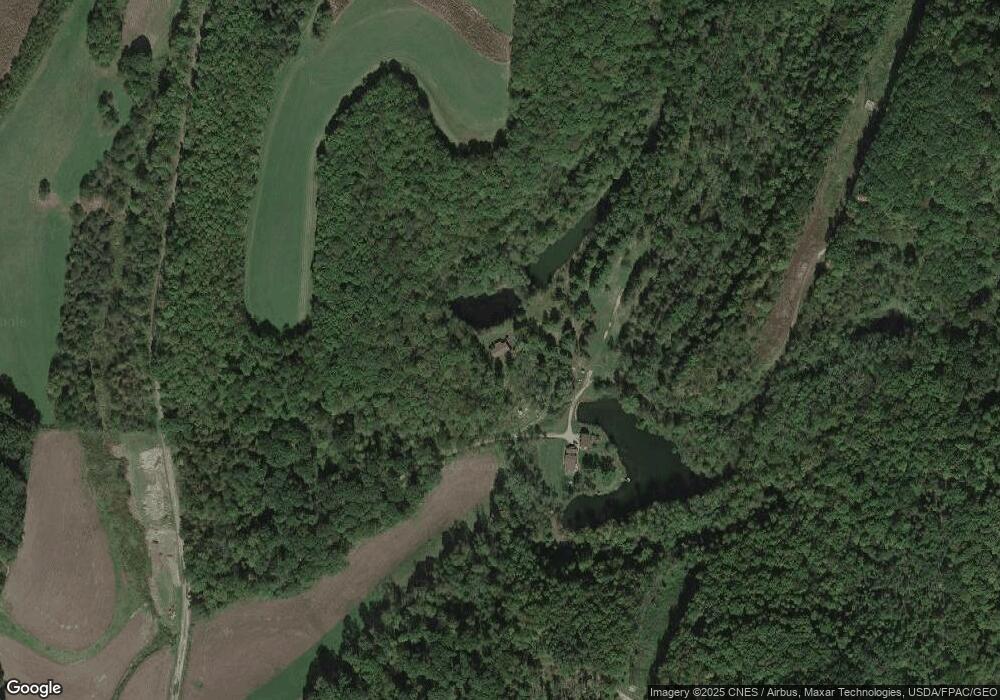
Map
Nearby Homes
- 9509 Frank Rd SW
- 9168 Frank Rd SW
- 9817 Frank Rd SW
- 3950 Wolf Rd SW
- 4887 W Hill Rd SW
- 4520 Frys Valley Rd SW
- 4901 W Hill Rd SW
- 5009 W Hill Rd SW
- 8750 Bunker Hill Rd SW
- 8583 Bunker Hill Rd SW
- 0 Wolf Rd
- 8756 Bunker Hill Rd SW
- 8725 Bunker Hill Rd SW
- 0 W Hill Rd Unit 4014697
- 4739 W Hill Rd SW
- 8745 Bunker Hill Rd SW
- 4715 W Hill Rd SW
- 5041 W Hill Rd SW
- 4920 W Hill Rd SW
- 4882 W Hill Rd SW