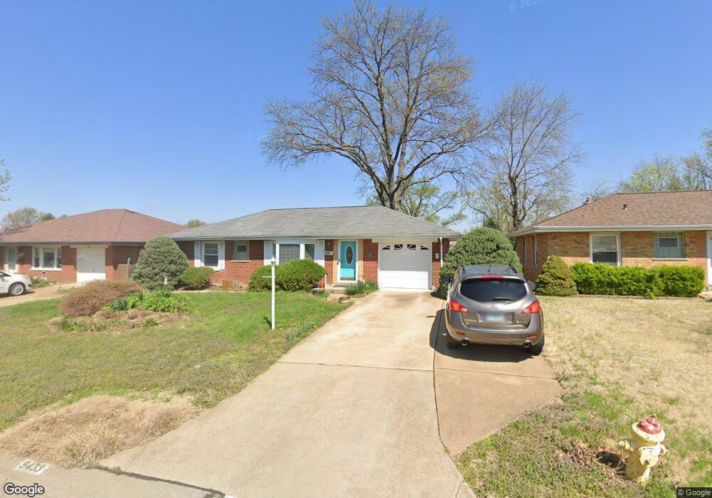
9433 Sequoia Ct Saint Louis, MO 63123
Estimated Value: $222,000 - $246,000
2
Beds
1
Bath
900
Sq Ft
$258/Sq Ft
Est. Value
About This Home
This home is located at 9433 Sequoia Ct, Saint Louis, MO 63123 and is currently estimated at $232,337, approximately $258 per square foot. 9433 Sequoia Ct is a home located in St. Louis County with nearby schools including Mesnier Primary School, Gotsch Intermediate School, and Rogers Middle School.
Ownership History
Date
Name
Owned For
Owner Type
Purchase Details
Closed on
Jul 9, 2008
Sold by
Wyatt Family Lp
Bought by
Inabnit Lawrence D and Inabnit Kathryn A
Current Estimated Value
Purchase Details
Closed on
Feb 28, 2002
Sold by
Lathiot Shad
Bought by
Wyatt Family Ltd Partnership
Home Financials for this Owner
Home Financials are based on the most recent Mortgage that was taken out on this home.
Original Mortgage
$92,000
Interest Rate
6.93%
Purchase Details
Closed on
Aug 17, 1998
Sold by
Rosenbaum Joseph A and Rosenbaum Stacey A
Bought by
Lethiot Shad A
Home Financials for this Owner
Home Financials are based on the most recent Mortgage that was taken out on this home.
Original Mortgage
$91,953
Interest Rate
6.9%
Mortgage Type
FHA
Create a Home Valuation Report for This Property
The Home Valuation Report is an in-depth analysis detailing your home's value as well as a comparison with similar homes in the area
Home Values in the Area
Average Home Value in this Area
Purchase History
| Date | Buyer | Sale Price | Title Company |
|---|---|---|---|
| Inabnit Lawrence D | $135,000 | None Available | |
| Wyatt Family Ltd Partnership | $115,000 | -- | |
| Lethiot Shad A | -- | -- |
Source: Public Records
Mortgage History
| Date | Status | Borrower | Loan Amount |
|---|---|---|---|
| Previous Owner | Wyatt Family Ltd Partnership | $92,000 | |
| Previous Owner | Lethiot Shad A | $91,953 | |
| Closed | Inabnit Lawrence D | -- |
Source: Public Records
Tax History Compared to Growth
Tax History
| Year | Tax Paid | Tax Assessment Tax Assessment Total Assessment is a certain percentage of the fair market value that is determined by local assessors to be the total taxable value of land and additions on the property. | Land | Improvement |
|---|---|---|---|---|
| 2025 | $2,659 | $35,880 | $13,970 | $21,910 |
| 2024 | $2,659 | $32,700 | $9,980 | $22,720 |
| 2023 | $2,571 | $32,700 | $9,980 | $22,720 |
| 2022 | $2,479 | $27,000 | $9,980 | $17,020 |
| 2021 | $2,263 | $27,000 | $9,980 | $17,020 |
| 2020 | $2,231 | $24,840 | $9,750 | $15,090 |
| 2019 | $2,227 | $24,840 | $9,750 | $15,090 |
| 2018 | $2,180 | $21,490 | $6,800 | $14,690 |
| 2017 | $2,166 | $21,490 | $6,800 | $14,690 |
| 2016 | $2,017 | $21,260 | $4,520 | $16,740 |
| 2015 | $2,025 | $21,260 | $4,520 | $16,740 |
| 2014 | $2,190 | $22,910 | $5,680 | $17,230 |
Source: Public Records
Map
Nearby Homes
- 9926 Mackenzie Rd
- 9928 Bonton Dr
- 10118 Jeffleigh Ln
- 9837 Huntingdon Ln
- 9118 Radiom Dr
- 9425 MacKenzie Circle Ct
- 9529 MacKenzie Circle Dr
- 9744 Bexley Station Dr Unit 8J
- 9740 Bexley Station Dr
- 9332 Cloverhurst Dr
- 9327 Cloverhurst Dr
- 10158 Chancery Ln
- 9117 Villaridge Ct Unit E
- 9925 Bunker Hill Dr Unit G
- 9925 Bunker Hill Dr Unit F
- 10202 Carlton Place Ct S
- 9197 Villaridge Ct
- 9070 Villaridge Ct Unit 38
- 10010 Bunker Hill Dr Unit H
- 10018 Bunker Hill Dr Unit G
- 9429 Sequoia Ct
- 9437 Sequoia Ct
- 9441 Sequoia Ct
- 9425 Sequoia Ct
- 9500 Eucalyptus Dr
- 9432 Eucalyptus Dr
- 9504 Eucalyptus Dr
- 9940 Box Elder Ct
- 9428 Eucalyptus Dr
- 9508 Eucalyptus Dr
- 9421 Sequoia Ct
- 9501 Sequoia Ct
- 9430 Sequoia Ct
- 9422 Sequoia Ct
- 9424 Eucalyptus Dr
- 9512 Eucalyptus Dr
- 9417 Sequoia Ct
- 9505 Sequoia Ct
- 9948 Box Elder Ct
- 9500 Sequoia Ct