9433 Taylor Ln Brainerd, MN 56401
Estimated Value: $316,504 - $408,000
3
Beds
2
Baths
1,728
Sq Ft
$200/Sq Ft
Est. Value
About This Home
This home is located at 9433 Taylor Ln, Brainerd, MN 56401 and is currently estimated at $345,376, approximately $199 per square foot. 9433 Taylor Ln is a home located in Crow Wing County with nearby schools including Riverside Elementary School, Forestview Middle School, and Brainerd Senior High School.
Ownership History
Date
Name
Owned For
Owner Type
Purchase Details
Closed on
Feb 28, 2022
Sold by
Pape Jeffrey and Pape Miranda
Bought by
Franz Lindsey
Current Estimated Value
Home Financials for this Owner
Home Financials are based on the most recent Mortgage that was taken out on this home.
Original Mortgage
$212,000
Outstanding Balance
$197,233
Interest Rate
3.55%
Mortgage Type
New Conventional
Estimated Equity
$148,144
Purchase Details
Closed on
Jun 1, 2018
Sold by
Johns and Paul
Bought by
Pape Jeffrey A and Pape Miranda J
Purchase Details
Closed on
Aug 10, 2015
Sold by
Sullivan Eric Eric
Bought by
Johns Paul and Johns Jamie
Home Financials for this Owner
Home Financials are based on the most recent Mortgage that was taken out on this home.
Original Mortgage
$134,000
Interest Rate
4.01%
Purchase Details
Closed on
Jul 1, 2001
Sold by
Shifflett Norman
Bought by
Sullivan Eric M
Purchase Details
Closed on
Sep 1, 1996
Sold by
Sullivan Michae
Bought by
Shifflett Norma
Create a Home Valuation Report for This Property
The Home Valuation Report is an in-depth analysis detailing your home's value as well as a comparison with similar homes in the area
Purchase History
We collect this data history from publicly available records. To have your information removed, we recommend requesting removal directly through your county’s website.
| Date | Buyer | Sale Price | Title Company |
|---|---|---|---|
| Franz Lindsey | $265,000 | -- | |
| Pape Jeffrey A | $170,980 | -- | |
| Johns Paul | $136,500 | -- | |
| Sullivan Eric M | $12,000 | -- | |
| Shifflett Norma | $4,500 | -- |
Source: Public Records
Mortgage History
We collect this data history from publicly available records. To have your information removed, we recommend requesting removal directly through your county’s website.
| Date | Status | Borrower | Loan Amount |
|---|---|---|---|
| Open | Franz Lindsey | $212,000 | |
| Previous Owner | Johns Paul | $134,000 |
Source: Public Records
Tax History
| Year | Tax Paid | Tax Assessment Tax Assessment Total Assessment is a certain percentage of the fair market value that is determined by local assessors to be the total taxable value of land and additions on the property. | Land | Improvement |
|---|---|---|---|---|
| 2025 | $1,794 | $283,000 | $127,100 | $155,900 |
| 2024 | $1,628 | $251,900 | $103,300 | $148,600 |
| 2023 | $1,524 | $222,900 | $76,500 | $146,400 |
| 2022 | $1,396 | $216,700 | $71,500 | $145,200 |
| 2021 | $1,416 | $167,300 | $64,900 | $102,400 |
| 2020 | $1,500 | $161,600 | $63,200 | $98,400 |
| 2019 | $1,416 | $164,500 | $59,400 | $105,100 |
| 2018 | $1,472 | $154,800 | $59,600 | $95,200 |
| 2017 | $1,428 | $141,738 | $49,979 | $91,759 |
| 2016 | $1,284 | $132,600 | $46,600 | $86,000 |
| 2015 | $1,230 | $121,800 | $45,700 | $76,100 |
| 2014 | $562 | $117,800 | $45,300 | $72,500 |
Source: Public Records
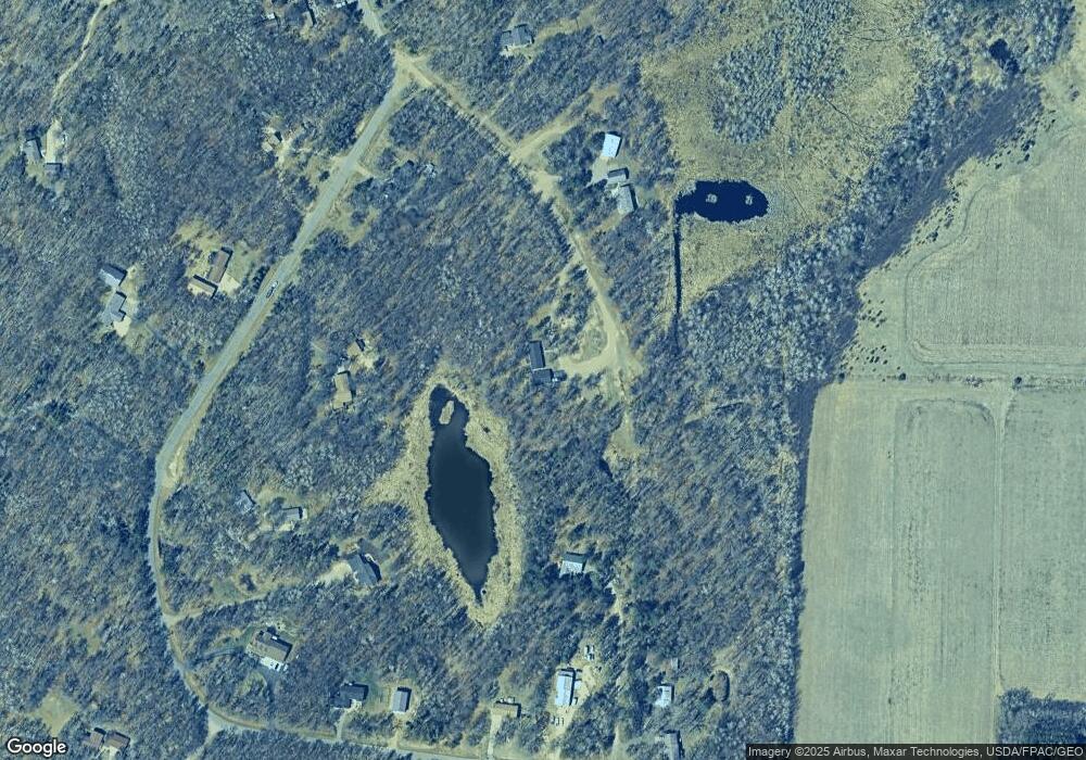
Map
Nearby Homes
- 8485 County Road 123
- 10308 S Oaks Rd
- 8136 County Road 123
- 9152 Atwater Ct
- (Lot 10) 11126 Tabor Trail
- (Lot 11) 11138 Tabor Trail
- (Lot 9) 11096 Tabor Trail
- (Lot 12) 11158 Tabor Trail
- (Lot 8) 11074 Tabor Trail
- (Lot 13) 11170 Tabor Trail
- (Lot 14) 11192 Tabor Trail
- (Lot 5) 11067 Tabor Trail
- (Lot 4) 11087 Tabor Trail
- (Lot 2) 11131) Tabor Trail
- (Lot 3) 11103 Tabor Trail
- 11375 Andrew St
- (Lot 1) 11205 Tabor Trail
- (Lot 15) 11212 Tabor Trail
- 7178 Burr Ln
- 7367 Hunter Cir
- 9368 Taylor Ln
- 9388 Forest Heights Dr
- 9074 Forest Heights Dr
- 9438 Forest Heights Dr
- 9244 Forest Heights Dr
- 9300 Forest Heights Dr
- 9377 Forest Heights Dr
- 9340 Taylor Ln
- 9094 Forest Heights Dr
- 9154 Forest Heights Dr
- 9228 Forest Heights Dr
- 9507 Forest Heights Dr
- 9339 Forest Heights Dr
- 9524 Forest Heights Dr
- 9056 Forest Heights Dr
- 9093 Forest Heights Dr
- 9425 Forest Heights Cir
- 9339 Forest Heights Cir
- 9517 Forest Heights Dr
- 9465 Forest Heights Cir
Your Personal Tour Guide
Ask me questions while you tour the home.