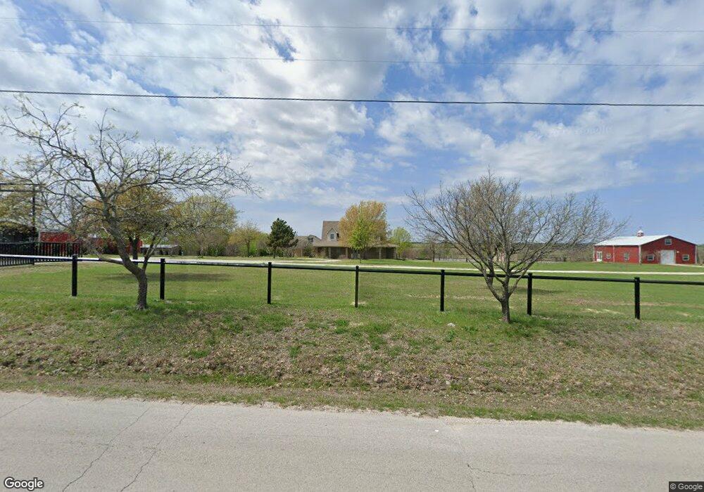
9437 Boom Branch Rd Sanger, TX 76266
Estimated Value: $208,000 - $742,000
4
Beds
3
Baths
3,079
Sq Ft
$120/Sq Ft
Est. Value
About This Home
This home is located at 9437 Boom Branch Rd, Sanger, TX 76266 and is currently estimated at $369,148, approximately $119 per square foot. 9437 Boom Branch Rd is a home located in Denton County with nearby schools including Chisholm Trail Elementary School, Clear Creek Intermediate School, and Sanger Sixth Grade Campus.
Ownership History
Date
Name
Owned For
Owner Type
Purchase Details
Closed on
Oct 12, 2005
Sold by
Roetker Larry R and Roetker Georgina
Bought by
Moore Lesley D and Moore Shiela L
Current Estimated Value
Home Financials for this Owner
Home Financials are based on the most recent Mortgage that was taken out on this home.
Original Mortgage
$210,000
Outstanding Balance
$111,905
Interest Rate
5.69%
Mortgage Type
Fannie Mae Freddie Mac
Estimated Equity
$257,243
Create a Home Valuation Report for This Property
The Home Valuation Report is an in-depth analysis detailing your home's value as well as a comparison with similar homes in the area
Home Values in the Area
Average Home Value in this Area
Purchase History
| Date | Buyer | Sale Price | Title Company |
|---|---|---|---|
| Moore Lesley D | -- | Alamo Title Company |
Source: Public Records
Mortgage History
| Date | Status | Borrower | Loan Amount |
|---|---|---|---|
| Open | Moore Lesley D | $210,000 |
Source: Public Records
Tax History Compared to Growth
Tax History
| Year | Tax Paid | Tax Assessment Tax Assessment Total Assessment is a certain percentage of the fair market value that is determined by local assessors to be the total taxable value of land and additions on the property. | Land | Improvement |
|---|---|---|---|---|
| 2025 | $1,689 | $98,038 | $39,396 | $58,642 |
| 2024 | $1,689 | $124,432 | $39,396 | $85,036 |
| 2023 | $6,715 | $491,983 | $39,396 | $452,587 |
| 2022 | $8,131 | $490,195 | $24,000 | $466,195 |
| 2021 | $5,603 | $384,004 | $15,075 | $368,929 |
| 2020 | $4,763 | $303,158 | $12,563 | $290,595 |
| 2019 | $6,479 | $395,865 | $16,750 | $390,563 |
| 2018 | $5,934 | $359,877 | $16,750 | $356,322 |
| 2017 | $5,432 | $327,161 | $16,750 | $337,910 |
| 2016 | $4,939 | $297,419 | $16,750 | $305,114 |
| 2015 | $3,934 | $270,381 | $16,750 | $280,591 |
| 2013 | -- | $223,455 | $16,750 | $206,705 |
Source: Public Records
Map
Nearby Homes
- 10350 W Clear Creek Rd
- TBD Dyer Rd
- 10902 Clear Creek Rd W
- 11007 Farm To Market Road 2450
- 10455 Fm 455 W
- 10543 Fm 455 W
- 10916 Fm 2450
- 7236 Davidson Rd
- 10901 Fm 455 W
- 9191 Lamar St
- 12142 Fm 2450
- 14158 Crest View Rd
- 6221 Deer Run Rd
- 9494 Waide Rd
- 8875 Fm 2450
- 6568 Michael Rd
- 6810 Hunnington Dr
- 6552 Private Rd 6601
- 6400 Ridgerock Dr
- 6000 Fm 455 W
- 9369 Boom Branch Rd
- 9347 Boom Branch Rd
- 9287 Boom Branch Rd
- 8100 Bernard Rd
- 9284 Boom Branch Rd
- 9241 Boom Branch Rd
- 9234 Boom Branch Rd
- 8124 Bernard Rd
- 8168 Bernard Rd
- 9716 Boom Branch Rd
- 8256 Bernard Rd
- 9037 Fm 455 W
- 8424 Bernard Rd
- 9009 Fm 455 W
- 8028 Bernard Rd
- 8195 Bernard Rd
- 8506 Bernard Rd
- 8559 Bernard Rd
- 8626 Bernard Rd