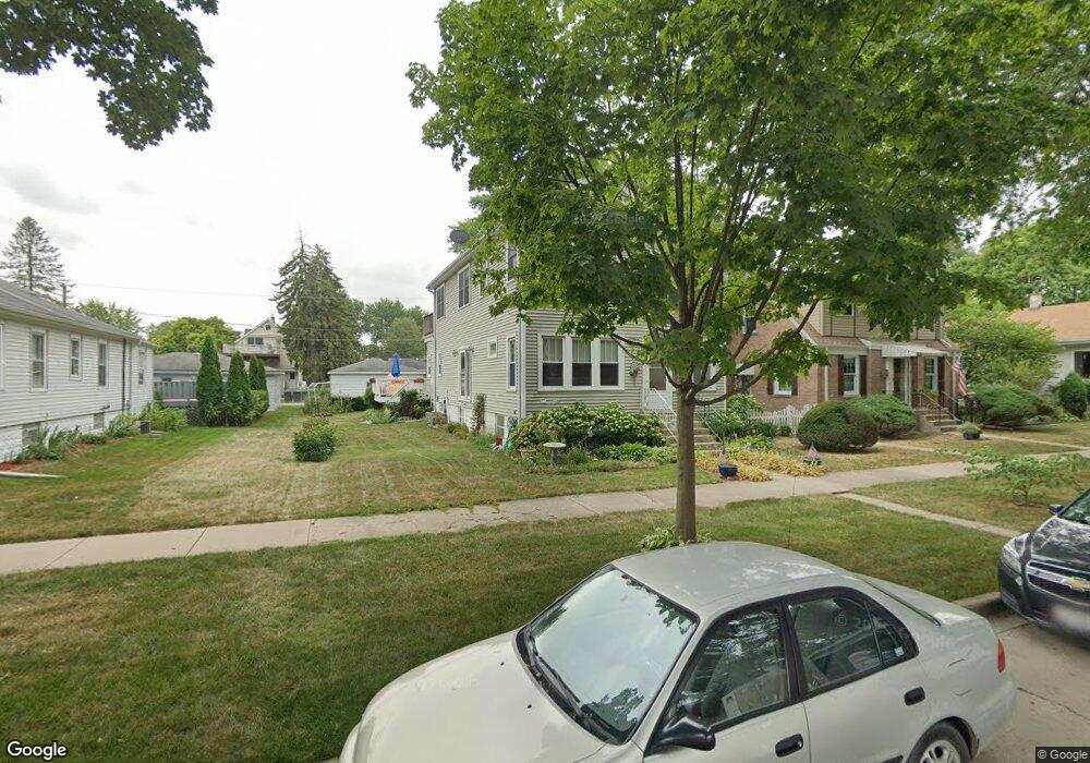
9437 Monroe Ave Brookfield, IL 60513
Estimated Value: $402,409 - $489,000
4
Beds
3
Baths
1,990
Sq Ft
$223/Sq Ft
Est. Value
About This Home
This home is located at 9437 Monroe Ave, Brookfield, IL 60513 and is currently estimated at $443,352, approximately $222 per square foot. 9437 Monroe Ave is a home located in Cook County with nearby schools including S. E. Gross Middle School, Brook Park Elementary School, and Riverside Brookfield High School.
Ownership History
Date
Name
Owned For
Owner Type
Purchase Details
Closed on
Mar 11, 2003
Sold by
Kolacki Judith A and Siordia Judith A
Bought by
Siordia Ralph J and Siordia Judith A
Current Estimated Value
Home Financials for this Owner
Home Financials are based on the most recent Mortgage that was taken out on this home.
Original Mortgage
$56,000
Interest Rate
5.94%
Create a Home Valuation Report for This Property
The Home Valuation Report is an in-depth analysis detailing your home's value as well as a comparison with similar homes in the area
Home Values in the Area
Average Home Value in this Area
Purchase History
| Date | Buyer | Sale Price | Title Company |
|---|---|---|---|
| Siordia Ralph J | -- | Law Title Insurance Co Inc |
Source: Public Records
Mortgage History
| Date | Status | Borrower | Loan Amount |
|---|---|---|---|
| Closed | Siordia Ralph J | $56,000 |
Source: Public Records
Tax History
| Year | Tax Paid | Tax Assessment Tax Assessment Total Assessment is a certain percentage of the fair market value that is determined by local assessors to be the total taxable value of land and additions on the property. | Land | Improvement |
|---|---|---|---|---|
| 2025 | $10,219 | $34,588 | $4,336 | $30,252 |
| 2024 | $10,219 | $34,588 | $4,336 | $30,252 |
| 2023 | $8,538 | $34,588 | $4,336 | $30,252 |
| 2022 | $8,538 | $26,649 | $3,758 | $22,891 |
| 2021 | $8,348 | $26,647 | $3,757 | $22,890 |
| 2020 | $8,294 | $26,647 | $3,757 | $22,890 |
| 2019 | $9,000 | $28,995 | $3,324 | $25,671 |
| 2018 | $8,638 | $28,995 | $3,324 | $25,671 |
| 2017 | $9,008 | $31,881 | $3,324 | $28,557 |
| 2016 | $8,277 | $26,517 | $3,035 | $23,482 |
| 2015 | $7,879 | $26,517 | $3,035 | $23,482 |
| 2014 | $8,250 | $27,800 | $3,035 | $24,765 |
| 2013 | $8,148 | $28,238 | $3,035 | $25,203 |
Source: Public Records
Map
Nearby Homes
- 9512 Jefferson Ave
- 3321 Harrison Ave
- 9516 Jackson Ave
- 3533 Morton Ave
- 3227 Harrison Ave
- 1018 E Oak Ave
- 3700 Blanchan Ave
- 1020 Newberry Ave
- 3229 Maple Ave
- 3701 Madison Ave
- 1127 Morgan Ave
- 3730 Madison Ave
- 3417 Oak Ave
- 3837 Morton Ave
- 3545 Oak Ave
- 3108 Oak Ave
- 325 E Harding Ave
- 1220 N Maple Ave
- 3708 Sunnyside Ave
- 9011 Sheridan Ave
- 9431 Monroe Ave
- 9441 Monroe Ave
- 9445 Monroe Ave
- 9425 Monroe Ave
- 9436 Jefferson Ave
- 9432 Jefferson Ave
- 9442 Jefferson Ave
- 9426 Jefferson Ave
- 9421 Monroe Ave
- 9446 Jefferson Ave
- 9436 Monroe Ave
- 9440 Monroe Ave
- 9432 Monroe Ave
- 9428 Monroe Ave
- 9446 Monroe Ave
- 9420 Jefferson Ave
- 9501 Monroe Ave
- 9417 Monroe Ave
- 9417 Monroe Ave
- 9422 Monroe Ave
Your Personal Tour Guide
Ask me questions while you tour the home.