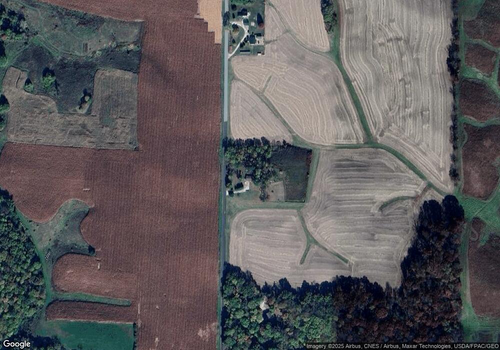
9438 Blink Rd Fenton, IL 61251
Estimated Value: $119,000 - $294,000
3
Beds
2
Baths
1,716
Sq Ft
$102/Sq Ft
Est. Value
About This Home
This home is located at 9438 Blink Rd, Fenton, IL 61251 and is currently estimated at $174,464, approximately $101 per square foot. 9438 Blink Rd is a home located in Whiteside County with nearby schools including Erie Elementary School, Erie Middle School, and Erie High School.
Ownership History
Date
Name
Owned For
Owner Type
Purchase Details
Closed on
Mar 28, 2022
Sold by
Roxy Stropes
Bought by
Sechrest Louis and Sechrest Kera
Current Estimated Value
Home Financials for this Owner
Home Financials are based on the most recent Mortgage that was taken out on this home.
Original Mortgage
$90,000
Outstanding Balance
$84,689
Interest Rate
4.42%
Mortgage Type
VA
Estimated Equity
$89,775
Create a Home Valuation Report for This Property
The Home Valuation Report is an in-depth analysis detailing your home's value as well as a comparison with similar homes in the area
Home Values in the Area
Average Home Value in this Area
Purchase History
| Date | Buyer | Sale Price | Title Company |
|---|---|---|---|
| Sechrest Louis | $90,000 | Heid Law Offices Llc |
Source: Public Records
Mortgage History
| Date | Status | Borrower | Loan Amount |
|---|---|---|---|
| Open | Sechrest Louis | $90,000 |
Source: Public Records
Tax History Compared to Growth
Tax History
| Year | Tax Paid | Tax Assessment Tax Assessment Total Assessment is a certain percentage of the fair market value that is determined by local assessors to be the total taxable value of land and additions on the property. | Land | Improvement |
|---|---|---|---|---|
| 2024 | $600 | $42,404 | $9,201 | $33,203 |
| 2023 | $600 | $40,281 | $8,740 | $31,541 |
| 2022 | $600 | $38,152 | $8,278 | $29,874 |
| 2021 | $2,355 | $36,798 | $7,984 | $28,814 |
| 2020 | $1,540 | $34,911 | $7,266 | $27,645 |
| 2019 | $1,496 | $34,180 | $7,114 | $27,066 |
| 2018 | $1,454 | $33,530 | $6,979 | $26,551 |
| 2017 | $1,418 | $32,918 | $6,852 | $26,066 |
| 2016 | $1,368 | $32,062 | $6,674 | $25,388 |
| 2015 | $1,452 | $33,325 | $6,937 | $26,388 |
| 2014 | $1,405 | $32,145 | $6,691 | $25,454 |
| 2013 | $1,452 | $33,325 | $6,937 | $26,388 |
Source: Public Records
Map
Nearby Homes
- 9304 Ellis Rd
- 8450 Star Rd
- 12465 Frog Pond Rd
- 6753 Ellis Rd
- 5515 Bunker Hill Rd
- 1005 8th St
- 828 Main St
- 904 5th St
- Lot 126 Chippewa Trail
- Lot 127 Chippewa Trail
- 0 10th Ave S Unit MRD12453347
- 13600 Kennedy Rd
- 000 Banks Rd
- 8039 Hazel Rd
- 5460 Moline Rd
- 5630 Moline Rd
- 0 Illinois 78
- Lot 110 Garrett Ave
- Lot 114 Garrett Ave
- Lot 111 Garrett Ave
- 9642 Blink Rd
- 7550 Grennan Rd
- 7564 Grennan Rd
- 9682 Blink Rd
- 9103 Mineral Rd
- 0 Mineral Unit 20102878
- 0 Mineral Unit 14085
- 8016 Grennan Rd
- 8015 Grennan Rd
- 8817 Mineral Rd
- 8850 Mineral Rd
- 8049 Grennan Rd
- 0 Mineral Rd
- 0 Mineral Rd Unit 9933224
- 8071 Grennan Rd
- 8495 Grennan Rd
- Lot A Mineral Rd
- Lot D Mineral Rd
- 8729 Mineral Rd
- 8831 Deere Run Rd
