9438 Hogpath Rd Arcanum, OH 45304
Estimated Value: $203,000 - $307,000
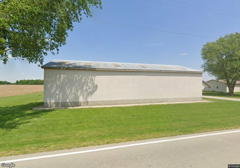
About This Home
This home is located at 9438 Hogpath Rd, Arcanum, OH 45304 and is currently estimated at $262,996, approximately $164 per square foot. 9438 Hogpath Rd is a home located in Darke County with nearby schools including Franklin Monroe Elementary School and Franklin Monroe High School.
Ownership History
We collect this data history from publicly available records. To have your information removed, we recommend requesting removal directly through your county’s website.
Purchase Details
Home Financials for this Owner
Home Financials are based on the most recent Mortgage that was taken out on this home.Purchase Details
Home Financials for this Owner
Home Financials are based on the most recent Mortgage that was taken out on this home.Purchase History
We collect this data history from publicly available records. To have your information removed, we recommend requesting removal directly through your county’s website.
| Date | Buyer | Sale Price | Title Company |
|---|---|---|---|
| -- | Patriot Title Agency Inc | ||
| $202,350 | Attorney |
Mortgage History
We collect this data history from publicly available records. To have your information removed, we recommend requesting removal directly through your county’s website.
| Date | Status | Borrower | Loan Amount |
|---|---|---|---|
| Open | $128,250 | ||
| Closed | $131,479 |
Tax History
We collect this data history from publicly available records. To have your information removed, we recommend requesting removal directly through your county’s website.
| Year | Tax Paid | Tax Assessment Tax Assessment Total Assessment is a certain percentage of the fair market value that is determined by local assessors to be the total taxable value of land and additions on the property. | Land | Improvement |
|---|---|---|---|---|
| 2025 | $1,999 | $59,680 | $10,140 | $49,540 |
| 2024 | $1,999 | $59,680 | $10,140 | $49,540 |
| 2023 | $2,002 | $59,680 | $10,140 | $49,540 |
| 2022 | $1,859 | $48,390 | $8,680 | $39,710 |
| 2021 | $1,876 | $48,390 | $8,680 | $39,710 |
| 2020 | $1,795 | $48,390 | $8,680 | $39,710 |
| 2019 | $1,549 | $43,040 | $8,510 | $34,530 |
| 2018 | $1,559 | $43,040 | $8,510 | $34,530 |
| 2017 | $1,483 | $43,040 | $8,510 | $34,530 |
| 2016 | $1,495 | $44,710 | $8,030 | $36,680 |
| 2015 | $1,495 | $44,710 | $8,030 | $36,680 |
| 2014 | $1,505 | $44,710 | $8,030 | $36,680 |
| 2013 | $1,539 | $42,450 | $7,750 | $34,700 |
Map
- 9069 State Route 571
- 7959 State Route 571
- Lot 1 Arcanum Rd
- 2 Arcanum Rd Unit Lot 2
- 0 Arcanum Rd
- 1 Arcanum Rd Unit Lot 1
- 9977 Hollansburg-Sampson Rd
- 0 Delisle Fourman Rd
- 646 N Rangeline Rd
- 9211 Pitsburg Laura Rd
- 1065 Stewart Rd
- 7465 Delisle Fourman Rd
- 102 2nd St
- 102 2nd St
- 108 S Jefferson St
- 108 S Jefferson
- 111 Harrison St
- 00 Sugar Grove-Circle Hill Rd
- 7745 Spidel Rd
- 300 S Jefferson St
- 9461 Hogpath Rd
- 4576 Red River West Grove Rd
- 4489 Red River West Grove Rd
- 4489 Red River-West Grove Rd
- 9508 Hogpath Rd
- 4430 Red River West Grove Rd
- 9530 Hogpath Rd
- 9541 Hogpath Rd
- 9291 Hogpath Rd
- 4741 Red River West Grove Rd
- 4741 Red River West Grove Rd
- 4633 Red River West Grove Rd
- 9371 Grove Rd
- 4355 Red River West Grove Rd
- 9232 Hogpath Rd
- 9265 Grove Rd
- 4235 Red River West Grove Rd
- 9123 Hogpath Rd
- 4158 Red River West Grove Rd
- 4139 Red River West Grove Rd
Ask me questions while you tour the home.