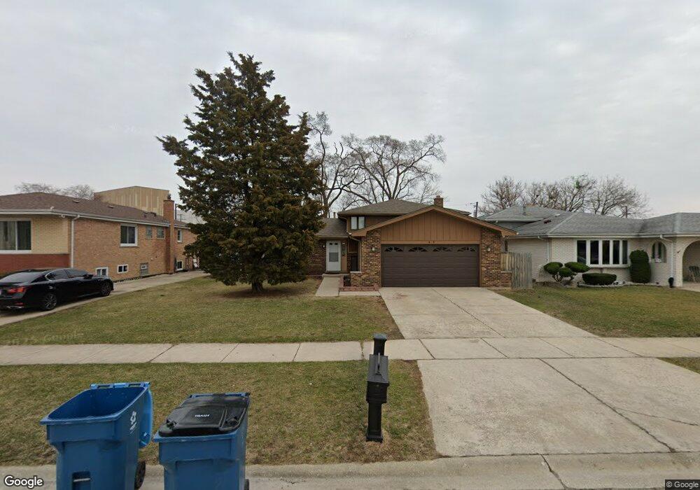
9439 Mcvicker Ave Oak Lawn, IL 60453
Estimated Value: $302,000 - $360,556
3
Beds
2
Baths
1,311
Sq Ft
$255/Sq Ft
Est. Value
About This Home
This home is located at 9439 Mcvicker Ave, Oak Lawn, IL 60453 and is currently estimated at $334,889, approximately $255 per square foot. 9439 Mcvicker Ave is a home located in Cook County with nearby schools including Harnew Elementary School, Simmons Middle School, and Oak Lawn Community High School.
Ownership History
Date
Name
Owned For
Owner Type
Purchase Details
Closed on
May 27, 2021
Sold by
First Midwest Bank
Bought by
Beerm Osama
Current Estimated Value
Home Financials for this Owner
Home Financials are based on the most recent Mortgage that was taken out on this home.
Original Mortgage
$132,890
Interest Rate
2.9%
Mortgage Type
New Conventional
Create a Home Valuation Report for This Property
The Home Valuation Report is an in-depth analysis detailing your home's value as well as a comparison with similar homes in the area
Home Values in the Area
Average Home Value in this Area
Purchase History
| Date | Buyer | Sale Price | Title Company |
|---|---|---|---|
| Beerm Osama | $137,000 | Barrister Title |
Source: Public Records
Mortgage History
| Date | Status | Borrower | Loan Amount |
|---|---|---|---|
| Previous Owner | Beerm Osama | $132,890 |
Source: Public Records
Tax History Compared to Growth
Tax History
| Year | Tax Paid | Tax Assessment Tax Assessment Total Assessment is a certain percentage of the fair market value that is determined by local assessors to be the total taxable value of land and additions on the property. | Land | Improvement |
|---|---|---|---|---|
| 2024 | $8,427 | $27,457 | $4,382 | $23,075 |
| 2023 | $6,666 | $29,001 | $4,382 | $24,619 |
| 2022 | $6,666 | $18,979 | $3,810 | $15,169 |
| 2021 | $5,669 | $19,988 | $3,810 | $16,178 |
| 2020 | $6,195 | $21,681 | $3,810 | $17,871 |
| 2019 | $5,571 | $20,590 | $3,429 | $17,161 |
| 2018 | $5,337 | $20,590 | $3,429 | $17,161 |
| 2017 | $5,432 | $20,590 | $3,429 | $17,161 |
| 2016 | $6,187 | $20,928 | $2,857 | $18,071 |
| 2015 | $6,098 | $20,928 | $2,857 | $18,071 |
| 2014 | $6,062 | $20,928 | $2,857 | $18,071 |
| 2013 | $6,914 | $25,617 | $2,857 | $22,760 |
Source: Public Records
Map
Nearby Homes
- 9540 S Mayfield Ave Unit 103S
- 9520 S Mayfield Ave Unit N105
- 9258 Austin Ave
- 6237 W 94th St Unit 3S
- 9420 Massasoit Ave
- 9714 Mcvicker Ave
- 9611 Merton Ave
- 5810 W 97th St
- 9607 Marion Ave
- 9729 Merton Ave
- 9422 Central Ave
- 9827 Melvina Ave
- 9600 Central Ave
- 9804 Massasoit Ave
- 9725 Ridgeland Ave Unit 1N
- 10440 S Mayfield Ave Unit 1A
- 5840 W 90th St
- 9912 Austin Ave
- 9624 W Shore Dr
- 9228 S 55th Ct
- 9421 Mcvicker Ave
- 9441 Mcvicker Ave
- 9417 Mcvicker Ave
- 9415 Mcvicker Ave
- 9411 Mcvicker Ave
- 9440 Mcvicker Ave
- 9444 Mcvicker Ave
- 9436 Mcvicker Ave
- 9409 Mcvicker Ave
- 9434 Mcvicker Ave
- 9405 Mcvicker Ave
- 9432 Mcvicker Ave
- 9430 Mcvicker Ave
- 9401 Mcvicker Ave
- 9435 Meade Ave
- 9431 Meade Ave
- 6058 W 95th St
- 9427 Meade Ave
- 9410 Mcvicker Ave
- 6060 W 95th St