Estimated Value: $225,000 - $250,087
3
Beds
2
Baths
1,584
Sq Ft
$147/Sq Ft
Est. Value
About This Home
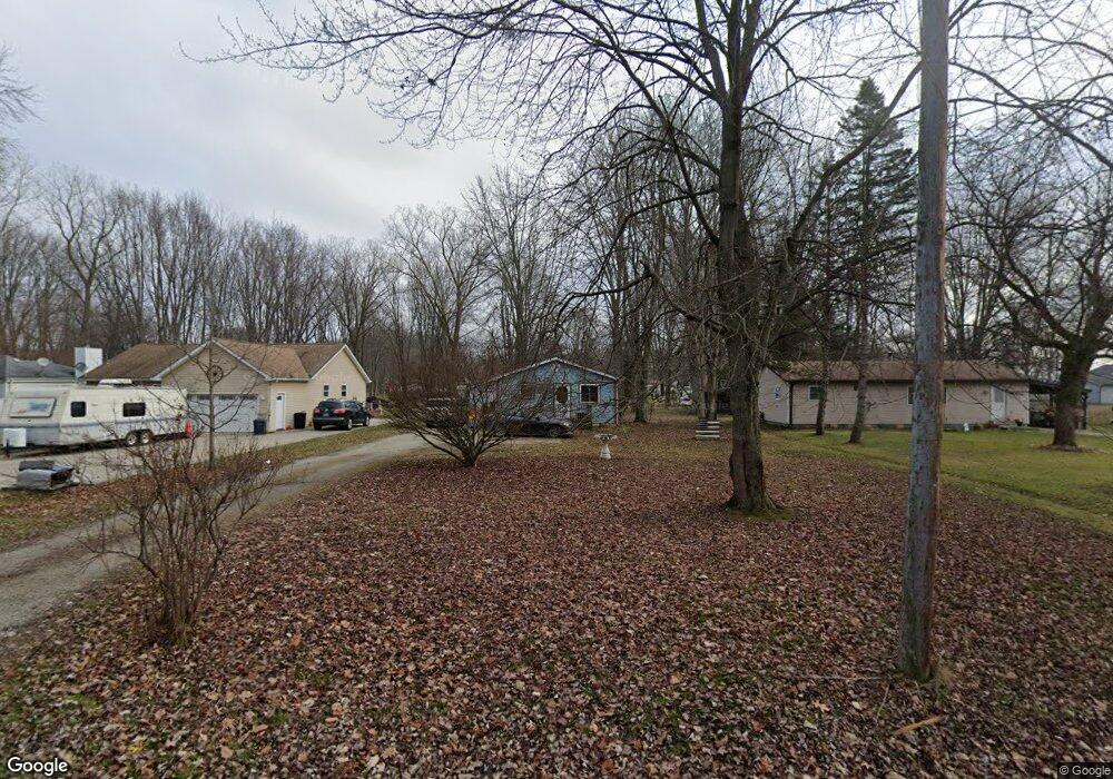
This home is located at 9439 Nellys Ct, Clay, MI 48001 and is currently estimated at $233,022, approximately $147 per square foot. 9439 Nellys Ct is a home located in St. Clair County.
Ownership History
Date
Name
Owned For
Owner Type
Purchase Details
Closed on
Dec 16, 2024
Sold by
Bradd Dawn M and Bradd Thomas W
Bought by
Gonda Andrew M
Current Estimated Value
Purchase Details
Closed on
Dec 20, 2019
Sold by
Bradd Dawn M
Bought by
Bradd Dawn M
Create a Home Valuation Report for This Property
The Home Valuation Report is an in-depth analysis detailing your home's value as well as a comparison with similar homes in the area
Home Values in the Area
Average Home Value in this Area
Purchase History
| Date | Buyer | Sale Price | Title Company |
|---|---|---|---|
| Gonda Andrew M | $200,000 | None Listed On Document | |
| Bradd Dawn M | -- | None Listed On Document |
Source: Public Records
Tax History
| Year | Tax Paid | Tax Assessment Tax Assessment Total Assessment is a certain percentage of the fair market value that is determined by local assessors to be the total taxable value of land and additions on the property. | Land | Improvement |
|---|---|---|---|---|
| 2025 | $1,958 | $102,200 | $0 | $0 |
| 2024 | $1,008 | $101,100 | $0 | $0 |
| 2023 | $971 | $97,400 | $0 | $0 |
| 2022 | $1,735 | $89,500 | $0 | $0 |
| 2020 | $1,641 | $80,200 | $80,200 | $0 |
| 2019 | $1,608 | $73,600 | $0 | $0 |
| 2018 | $1,582 | $63,000 | $0 | $0 |
| 2017 | $1,455 | $55,500 | $0 | $0 |
| 2016 | $797 | $55,500 | $0 | $0 |
| 2015 | -- | $44,500 | $44,500 | $0 |
| 2014 | -- | $41,100 | $41,100 | $0 |
| 2013 | -- | $40,500 | $0 | $0 |
Source: Public Records
Map
Nearby Homes
- 9642 Meadowbrook St
- 24 Vacant Lots Land
- 0000 Taft Rd
- 2090 N Channel Dr
- 00000 N Channel Dr
- 407-425 N Channel Dr
- 00 N Channel Dr
- 00 Dickinson Island
- 1600 N Channel Dr
- 2039 Golf Course Rd
- 8846 Stone Rd
- 949 Liberty St
- 9188 Marsh Rd
- 6630 Holland St
- 6303 High Rd
- 140 Kenyon Rd Unit 40
- 710 Ruskin Ave
- 0 N Channel Dr Unit 50172349
- 685 Townsend Ct
- 429 Edgewater Dr