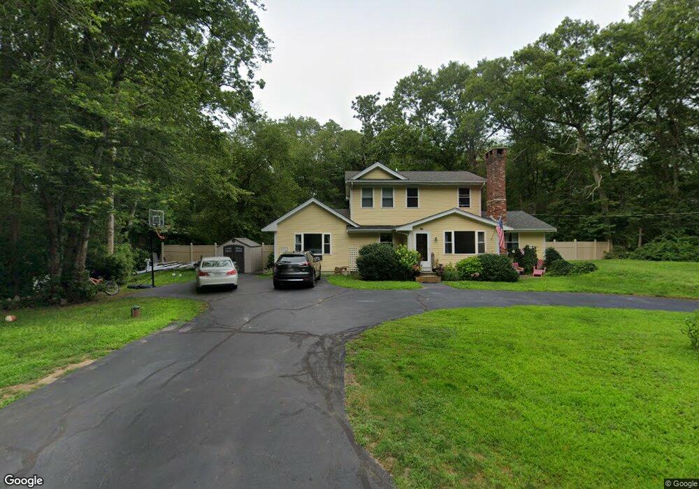
944 Fisher Rd North Dartmouth, MA 02747
Estimated Value: $527,000 - $830,000
3
Beds
1
Bath
1,088
Sq Ft
$621/Sq Ft
Est. Value
About This Home
This home is located at 944 Fisher Rd, North Dartmouth, MA 02747 and is currently estimated at $675,357, approximately $620 per square foot. 944 Fisher Rd is a home located in Bristol County with nearby schools including Dartmouth High School.
Ownership History
Date
Name
Owned For
Owner Type
Purchase Details
Closed on
Mar 5, 2001
Sold by
Dugan Joan C
Bought by
Ponichtera Allen M and Ponichtera Amanda L
Current Estimated Value
Home Financials for this Owner
Home Financials are based on the most recent Mortgage that was taken out on this home.
Original Mortgage
$130,000
Interest Rate
7%
Mortgage Type
Purchase Money Mortgage
Create a Home Valuation Report for This Property
The Home Valuation Report is an in-depth analysis detailing your home's value as well as a comparison with similar homes in the area
Home Values in the Area
Average Home Value in this Area
Purchase History
| Date | Buyer | Sale Price | Title Company |
|---|---|---|---|
| Ponichtera Allen M | $145,000 | -- |
Source: Public Records
Mortgage History
| Date | Status | Borrower | Loan Amount |
|---|---|---|---|
| Open | Ponichtera Allen M | $246,000 | |
| Closed | Ponichtera Allen M | $138,000 | |
| Closed | Ponichtera Allen M | $135,000 | |
| Closed | Ponichtera Allen M | $130,000 |
Source: Public Records
Tax History Compared to Growth
Tax History
| Year | Tax Paid | Tax Assessment Tax Assessment Total Assessment is a certain percentage of the fair market value that is determined by local assessors to be the total taxable value of land and additions on the property. | Land | Improvement |
|---|---|---|---|---|
| 2025 | $4,113 | $446,100 | $172,800 | $273,300 |
| 2024 | $4,066 | $439,100 | $172,800 | $266,300 |
| 2023 | $4,172 | $421,400 | $172,800 | $248,600 |
| 2022 | $4,019 | $373,900 | $172,800 | $201,100 |
| 2021 | $6,356 | $362,700 | $167,900 | $194,800 |
| 2020 | $4,023 | $359,800 | $166,200 | $193,600 |
| 2019 | $3,865 | $346,600 | $159,500 | $187,100 |
| 2018 | $3,657 | $335,500 | $162,800 | $172,700 |
| 2017 | $3,478 | $319,700 | $150,500 | $169,200 |
| 2016 | $3,220 | $292,200 | $124,600 | $167,600 |
| 2015 | $3,145 | $285,900 | $116,300 | $169,600 |
| 2014 | $3,078 | $278,800 | $112,900 | $165,900 |
Source: Public Records
Map
Nearby Homes
- 27 Woodcock Rd
- 1150 Russells Mills Rd
- 2 Slades Farm Ln
- 4 Rileys Way
- 9 Division Rd
- 434 Gulf Rd W
- Lot 2E Horseneck Rd
- 248 Bakerville Rd
- 16 Gulf Hill Dr
- 61 Pardon Hill Rd
- 1 Masthead Ln
- 34 Country Way
- 14 Westview Dr
- 10 Westview Dr
- Lot 1 Rafael Rd
- 75 Country Way Unit 75
- 17 Eighth Green Dr
- 99 Sylvia Ln
- 360 Russells Mills Rd
- 24 White Alder Way
- 00 Woodcock Rd
- 0 Woodcock Rd
- 170 Woodcock Rd
- 931 Fisher Rd
- 168 Woodcock Rd
- 166 Woodcock Rd
- 152 Woodcock Rd
- 918 Fisher Rd
- 159 Woodcock Rd
- 154 Woodcock Rd
- 917 Fisher Rd
- 924 Fisher Rd
- 150 Woodcock Rd
- 155 Woodcock Rd
- 908 Fisher Rd
- 976 Fisher Rd
- 148 Woodcock Rd
- 147 Woodcock Rd
- 144 Woodcock Rd
- 896 Fisher Rd