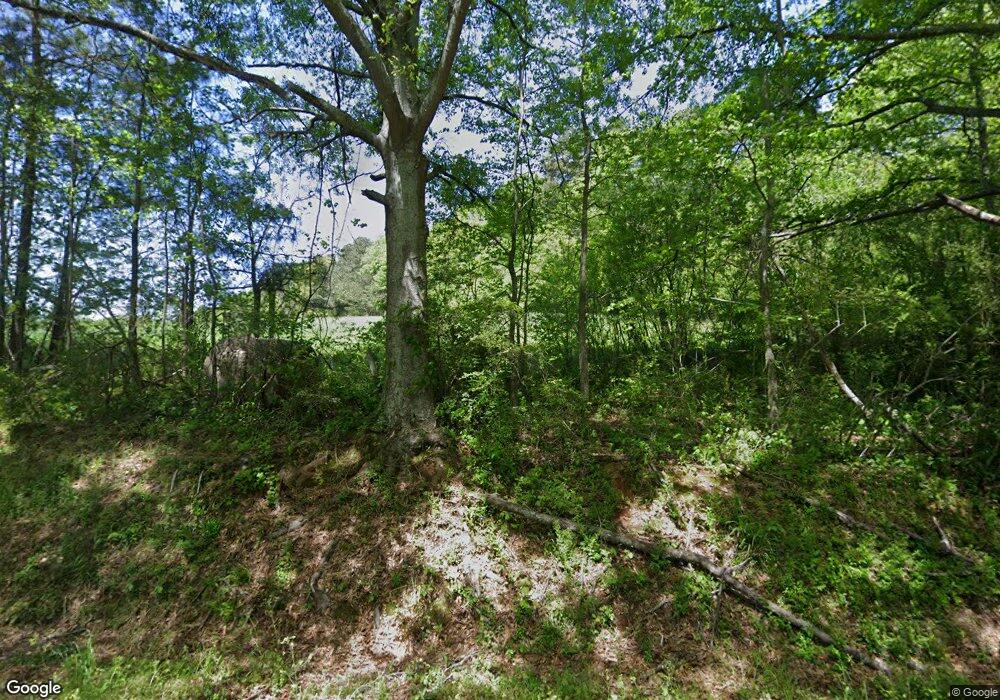
944 Harry McCarty Rd Bethlehem, GA 30620
Estimated Value: $272,000 - $735,154
2
Beds
1
Bath
1,507
Sq Ft
$294/Sq Ft
Est. Value
About This Home
This home is located at 944 Harry McCarty Rd, Bethlehem, GA 30620 and is currently estimated at $443,539, approximately $294 per square foot. 944 Harry McCarty Rd is a home located in Barrow County with nearby schools including Bethlehem Elementary School, Haymon-Morris Middle School, and Apalachee High School.
Ownership History
Date
Name
Owned For
Owner Type
Purchase Details
Closed on
Mar 28, 2025
Sold by
Wildsmith Dana S
Bought by
Barrow County
Current Estimated Value
Purchase Details
Closed on
Sep 28, 2022
Sold by
Wildsmith Dana Scoates
Bought by
Butler Elizabeth Hart
Purchase Details
Closed on
Aug 7, 2020
Sold by
Wildsmith Dana S
Bought by
Wildsmith Dana S and Wildsmith Donald Phillips
Purchase Details
Closed on
Sep 9, 2015
Sold by
Mccurley Grace Scoates
Bought by
Wildsmith Dana S
Purchase Details
Closed on
Apr 13, 2009
Sold by
Mccurley Grace S
Bought by
Mccurley Grace S and Wildsmith Dana
Create a Home Valuation Report for This Property
The Home Valuation Report is an in-depth analysis detailing your home's value as well as a comparison with similar homes in the area
Home Values in the Area
Average Home Value in this Area
Purchase History
| Date | Buyer | Sale Price | Title Company |
|---|---|---|---|
| Barrow County | $800,000 | -- | |
| Butler Elizabeth Hart | -- | -- | |
| Wildsmith Dana S | -- | -- | |
| Wildsmith Dana S | -- | -- | |
| Mccurley Grace S | -- | -- |
Source: Public Records
Tax History Compared to Growth
Tax History
| Year | Tax Paid | Tax Assessment Tax Assessment Total Assessment is a certain percentage of the fair market value that is determined by local assessors to be the total taxable value of land and additions on the property. | Land | Improvement |
|---|---|---|---|---|
| 2024 | $2,444 | $195,892 | $122,986 | $72,906 |
| 2023 | $2,011 | $195,892 | $122,986 | $72,906 |
| 2022 | $1,920 | $181,409 | $141,192 | $40,217 |
| 2021 | $1,944 | $179,137 | $141,192 | $37,945 |
| 2020 | $1,811 | $159,926 | $124,253 | $35,673 |
| 2019 | $1,830 | $159,926 | $124,253 | $35,673 |
| 2018 | $1,795 | $159,939 | $124,253 | $35,686 |
| 2017 | $4,277 | $146,899 | $121,388 | $25,511 |
| 2016 | $1,178 | $143,211 | $117,665 | $25,546 |
| 2015 | $762 | $143,234 | $117,665 | $25,569 |
| 2014 | $713 | $99,732 | $74,129 | $25,603 |
| 2013 | -- | $97,914 | $74,129 | $23,785 |
Source: Public Records
Map
Nearby Homes
- 824 Pruitt Rd
- 0 Jb Owens Unit LOT 2 - 2.09 ACRES
- 0 Jb Owens Unit LOT 3 - 2.01 ACRES
- 0 Jb Owens Unit 7552902
- 0 Jb Owens Unit 7552891
- 755 Harry McCarty Rd
- 575 Mackinaw Dr
- 758 Clarence Edwards Rd
- 449 & 455 Carl-Bethlehem Rd
- 1220 Persimmon Place Dr
- 1109 Ravenwood Dr
- 1071 Covenant Ct
- 0 Tanners Bridge Cr
- 1101 Ravenwood Dr
- 468 Grand Oaks Ave
- 0 Clarence Edwards Rd Unit 10587376
- 209 Angie Way
- 176 Market St
- 236 Vision St
- 0 Tanners Bridge Rd Unit 10588144
- 944 Harry McCarty Rd
- 923 Harry McCarty Rd
- 282 Lokeys Ln
- 260 Lokeys Ln
- 282 Lokey's Ln Unit 42
- 295 Lokey's Ln Unit 32
- 74 Lokeys Cir
- 43 Lokeys Ln
- 25 Lokeys Cir Unit 4
- 85 Lokeys Cir Unit 7
- 924 Turk Rd
- 920 Turk Rd
- 1023 Maggie Dr
- 932 Briscoe Mill Rd
- 904 Turk Rd
- 935 Turk Rd
- 932 Brisco Mill Rd
- 1021 Maggie Dr
- 900 Turk Rd
- 326 J B Owens Rd
