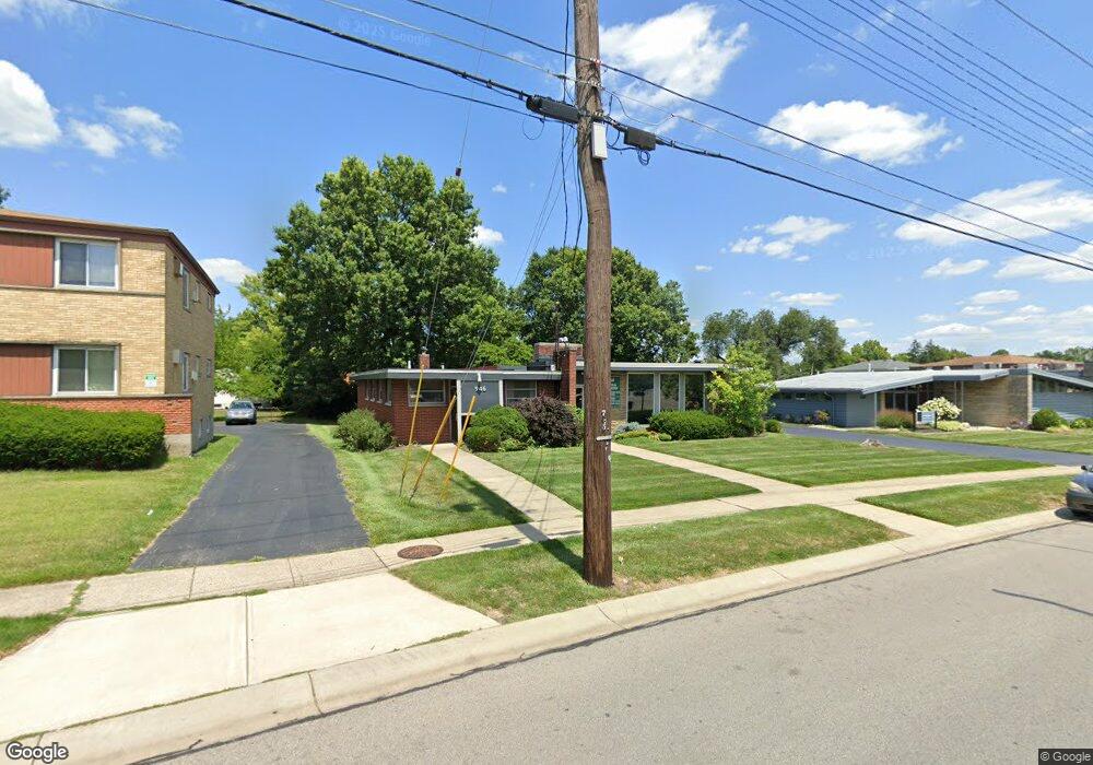
944 Hempstead Dr Cincinnati, OH 45231
Finneytown NeighborhoodEstimated Value: $307,793
About This Home
This home is located at 944 Hempstead Dr, Cincinnati, OH 45231 and is currently estimated at $307,793, approximately $106 per square foot. 944 Hempstead Dr is a home located in Hamilton County with nearby schools including Finneytown Elementary School, Finneytown Secondary Campus, and Northside Preparatory Academy.
Ownership History
We collect this data history from publicly available records. To have your information removed, we recommend requesting removal directly through your county’s website.
Purchase Details
Purchase Details
Purchase Details
Home Values in the Area
Average Home Value in this Area
Purchase History
We collect this data history from publicly available records. To have your information removed, we recommend requesting removal directly through your county’s website.
| Date | Buyer | Sale Price | Title Company |
|---|---|---|---|
| $300,000 | Red Letter Title | ||
| $125,000 | Parkway Title Llc | ||
| $127,470 | -- |
Mortgage History
We collect this data history from publicly available records. To have your information removed, we recommend requesting removal directly through your county’s website.
| Date | Status | Borrower | Loan Amount |
|---|---|---|---|
| Previous Owner | $66,000 |
Tax History
We collect this data history from publicly available records. To have your information removed, we recommend requesting removal directly through your county’s website.
| Year | Tax Paid | Tax Assessment Tax Assessment Total Assessment is a certain percentage of the fair market value that is determined by local assessors to be the total taxable value of land and additions on the property. | Land | Improvement |
|---|---|---|---|---|
| 2025 | $10,362 | $94,073 | $23,807 | $70,266 |
| 2023 | $10,142 | $94,073 | $23,807 | $70,266 |
| 2022 | $10,180 | $77,662 | $22,295 | $55,367 |
| 2021 | $10,185 | $77,662 | $22,295 | $55,367 |
| 2020 | $10,018 | $77,662 | $22,295 | $55,367 |
| 2019 | $5,765 | $44,615 | $33,215 | $11,400 |
| 2018 | $5,421 | $44,615 | $33,215 | $11,400 |
| 2017 | $5,284 | $44,615 | $33,215 | $11,400 |
| 2016 | $10,542 | $89,230 | $34,297 | $54,933 |
| 2015 | $10,471 | $89,230 | $34,297 | $54,933 |
| 2014 | $10,455 | $89,230 | $34,297 | $54,933 |
| 2013 | $10,689 | $91,987 | $35,357 | $56,630 |
Map
- 950 Vacationland Dr
- 962 Hollytree Dr
- 958 Hollytree Dr
- 8646 Elmtree Ave
- 886 Sabino Ct
- 1042 Hollytree Dr
- 1055 Hempstead Dr
- 8844 Mockingbird Ln
- 8785 Mockingbird Ln
- 8829 Mockingbird Ln
- 8710 Mockingbird Ln
- 847 Sabino Ct
- 8847 Mockingbird Ln
- 1045 Pelican Dr
- 1116 Madeleine Cir
- 1149 Madeleine Cir
- 8967 Cherry Blossom Ln
- 8471 Shuman Ln
- 8754 Monsanto Dr
- 8903 Cavalier Dr
- 946 Hempstead Dr
- 950 Hempstead Dr
- 959 Vacationland Dr
- 955 Vacationland Dr
- 963 Vacationland Dr
- 949 Vacationland Dr
- 928 Hollytree Dr
- 943 Vacationland Dr
- 8614 Cottonwood Dr
- 8604 Cottonwood Dr
- 8634 Cottonwood Dr
- 933 Hollytree Dr
- 935 Hollytree Dr
- 962 Vacationland Dr
- 958 Vacationland Dr
- 954 Vacationland Dr
- 10 Cottonwood Dr Unit 10
- 11 Cottonwood Dr Unit 11
- 8594 Cottonwood Dr
- 8654 Cottonwood Dr
Ask me questions while you tour the home.