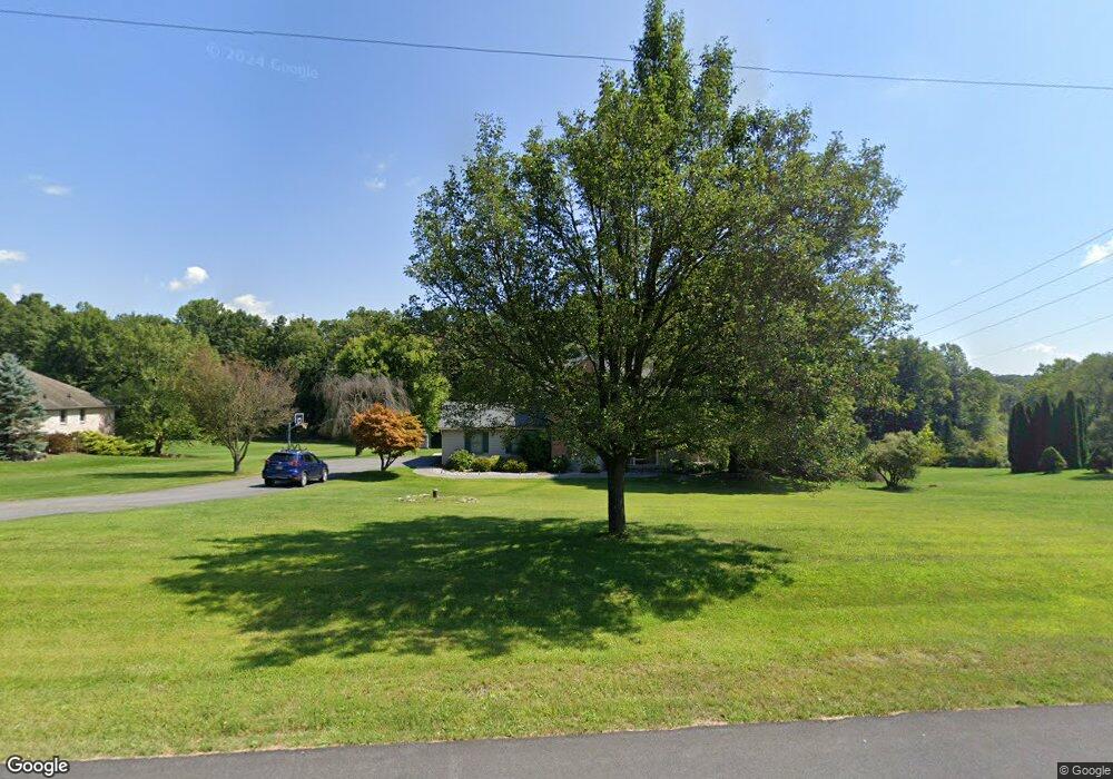
944 Renaldi Rd Wind Gap, PA 18091
Estimated Value: $505,000 - $712,000
4
Beds
3
Baths
2,410
Sq Ft
$243/Sq Ft
Est. Value
About This Home
This home is located at 944 Renaldi Rd, Wind Gap, PA 18091 and is currently estimated at $584,538, approximately $242 per square foot. 944 Renaldi Rd is a home located in Northampton County with nearby schools including Kenneth N Butz Elementary School, Nazareth Area Middle School, and Nazareth Area High School.
Ownership History
Date
Name
Owned For
Owner Type
Purchase Details
Closed on
Dec 28, 2007
Sold by
Roth Michael Q
Bought by
Young Zachary D
Current Estimated Value
Home Financials for this Owner
Home Financials are based on the most recent Mortgage that was taken out on this home.
Original Mortgage
$325,500
Outstanding Balance
$206,637
Interest Rate
6.27%
Mortgage Type
New Conventional
Estimated Equity
$377,901
Purchase Details
Closed on
Jan 3, 2003
Bought by
Roth Michael Q and Roth Jennifer A
Create a Home Valuation Report for This Property
The Home Valuation Report is an in-depth analysis detailing your home's value as well as a comparison with similar homes in the area
Home Values in the Area
Average Home Value in this Area
Purchase History
| Date | Buyer | Sale Price | Title Company |
|---|---|---|---|
| Young Zachary D | $347,500 | -- | |
| Roth Michael Q | -- | -- |
Source: Public Records
Mortgage History
| Date | Status | Borrower | Loan Amount |
|---|---|---|---|
| Open | Young Zachary D | $325,500 |
Source: Public Records
Tax History
| Year | Tax Paid | Tax Assessment Tax Assessment Total Assessment is a certain percentage of the fair market value that is determined by local assessors to be the total taxable value of land and additions on the property. | Land | Improvement |
|---|---|---|---|---|
| 2025 | $1,051 | $97,300 | $24,700 | $72,600 |
| 2024 | $7,376 | $97,300 | $24,700 | $72,600 |
| 2023 | $7,307 | $97,300 | $24,700 | $72,600 |
| 2022 | $7,307 | $97,300 | $24,700 | $72,600 |
| 2021 | $7,301 | $97,300 | $24,700 | $72,600 |
| 2020 | $7,301 | $97,300 | $24,700 | $72,600 |
| 2019 | $7,180 | $97,300 | $24,700 | $72,600 |
| 2018 | $7,061 | $97,300 | $24,700 | $72,600 |
| 2017 | $6,940 | $97,300 | $24,700 | $72,600 |
| 2016 | -- | $97,300 | $24,700 | $72,600 |
| 2015 | -- | $97,300 | $24,700 | $72,600 |
| 2014 | -- | $97,300 | $24,700 | $72,600 |
Source: Public Records
Map
Nearby Homes
- 901 Renaldi Rd
- 1147 Jacobsburg Rd
- 6366 Sullivan Trail
- 488 Sportsman Club Rd
- 500 Belfast Rd
- 0 Romaneve Dr
- 0 Pennsylvania 33
- 108 E Douglasville Rd
- 968 Bangor Rd
- 102 E Moorestown Rd
- 379 Meyer Rd
- 409 Colver Rd
- 0 Male Rd
- 118 E 1st St
- 635 Kathleen Dr
- 455 Bushkill Center Rd
- 38 W 2nd St
- 502 S Broadway
- 1480 Bushkill Center Rd
- 257 Hoffman Rd
- 952 Renaldi Rd
- 938 Renaldi Rd
- 958 Renaldi Rd
- 945 Renaldi Rd
- 951 Renaldi Rd
- 957 Renaldi Rd
- 964 Renaldi Rd
- 933 Renaldi Rd
- 930 Renaldi Rd
- 929 Renaldi Rd
- 968 Renaldi Rd
- 992 Park Estates Rd
- 925 State Park Rd
- 921 State Park Rd
- 969 Renaldi Rd
- 988 Park Estates Rd
- 996 Park Estates Rd
- 923 State Park Rd
- 982 Park Estates Rd
- 322 Gold Mill Rd
Your Personal Tour Guide
Ask me questions while you tour the home.