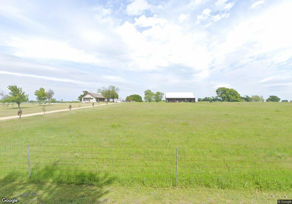
944 Rockport Rd Sherman, TX 75092
Estimated Value: $336,000
--
Bed
--
Bath
1,379
Sq Ft
$244/Sq Ft
Est. Value
About This Home
This home is located at 944 Rockport Rd, Sherman, TX 75092 and is currently priced at $336,000, approximately $243 per square foot. 944 Rockport Rd is a home located in Grayson County with nearby schools including S&S Consolidated Elementary School, S&S Consolidated Middle School, and S. & S. Cons H.S..
Ownership History
Date
Name
Owned For
Owner Type
Purchase Details
Closed on
Feb 24, 2024
Sold by
Y-Z Property Series Llc-Series Q
Bought by
Yong Gang-Zhen Llc-Series Q
Current Estimated Value
Purchase Details
Closed on
Feb 18, 2023
Sold by
Cheng Yong Gang
Bought by
Y-Z Property Series Llc-Series Q
Purchase Details
Closed on
Dec 29, 2016
Sold by
Laughlin Thomas Loyd and Rue Judy Gail
Bought by
Y-Z Property Series Llc Seriesq and Cheng Yong Gang
Create a Home Valuation Report for This Property
The Home Valuation Report is an in-depth analysis detailing your home's value as well as a comparison with similar homes in the area
Home Values in the Area
Average Home Value in this Area
Purchase History
| Date | Buyer | Sale Price | Title Company |
|---|---|---|---|
| Yong Gang-Zhen Llc-Series Q | -- | None Listed On Document | |
| Y-Z Property Series Llc-Series Q | -- | Simplifile | |
| Y-Z Property Series Llc Seriesq | -- | Chapin Title Co Inc |
Source: Public Records
Tax History Compared to Growth
Tax History
| Year | Tax Paid | Tax Assessment Tax Assessment Total Assessment is a certain percentage of the fair market value that is determined by local assessors to be the total taxable value of land and additions on the property. | Land | Improvement |
|---|---|---|---|---|
| 2025 | $72 | $5,181 | $5,181 | -- |
| 2024 | $72 | $4,838 | $0 | $0 |
| 2023 | $86 | $5,779 | $5,779 | $0 |
| 2022 | $96 | $5,727 | $5,727 | $0 |
| 2021 | $122 | $6,396 | $6,396 | $0 |
| 2020 | $157 | $7,990 | $7,990 | $0 |
| 2019 | $184 | $8,650 | $8,650 | $0 |
| 2018 | $171 | $8,757 | $8,757 | $0 |
| 2017 | $186 | $9,471 | $9,471 | $0 |
| 2016 | $1,620 | $82,622 | $23,256 | $59,366 |
| 2015 | $0 | $79,051 | $23,400 | $55,651 |
| 2014 | -- | $78,915 | $24,021 | $54,894 |
Source: Public Records
Map
Nearby Homes
- 1171 Rockport Rd
- 6514 Joyce Ln
- 3356 Old Dorchester Rd
- 00 Primrose Ln
- 2615 Rolling Hills Dr
- 586 Pleasant Home Rd
- 1401 Cimmaron Trail
- 1404 Tejas Dr
- 3410 Old Dorchester Rd
- 1426 S Raven Dr
- 6935 S Farm To Market Road 1417
- 3508 Ballam St
- 1407 Swan Ridge Dr
- 2134 Peggeys Cove
- 3302 Hanan St
- 4501 Hawk Ln
- 2401 Southridge Ln
- 4507 Falcon Dr
- 1415 Mallard Dr
- TBD Taylor Rd
- 468 Choctaw Est Cir
- 32 Preston Meadows Rd
- 543 Rockport Rd
- 563 Rockport Rd
- 847 Rockport Rd
- 1021 Rockport Rd
- 438 Choctaw Est Cir
- 472 Choctaw Est Cir
- 416 Choctaw Est Cir
- 509 Rockport Rd
- 416 Choctaw Estate Cir
- 262 Kennedy Rd
- 94 Preston Meadows Rd
- 386 Rockport Rd
- 481 Rockport Rd
- 477 Choctaw Est Cir
- 320 Kennedy Rd
- 328 Choctaw Est Cir
- 453 Rockport Rd
- 128 Preston Meadows Rd