944 Sampson Rock Rd Frostburg, MD 21532
Estimated Value: $148,000 - $255,000
--
Bed
2
Baths
1,568
Sq Ft
$129/Sq Ft
Est. Value
About This Home
This home is located at 944 Sampson Rock Rd, Frostburg, MD 21532 and is currently estimated at $201,881, approximately $128 per square foot. 944 Sampson Rock Rd is a home located in Allegany County with nearby schools including Frost Elementary School, Mount Savage Middle School, and Mountain Ridge High School.
Ownership History
Date
Name
Owned For
Owner Type
Purchase Details
Closed on
Dec 5, 2018
Sold by
Baer Daniel W
Bought by
Baer Hunter W and Baer Heather
Current Estimated Value
Home Financials for this Owner
Home Financials are based on the most recent Mortgage that was taken out on this home.
Original Mortgage
$127,645
Outstanding Balance
$113,979
Interest Rate
5.5%
Mortgage Type
FHA
Estimated Equity
$87,902
Purchase Details
Closed on
May 6, 1993
Sold by
Bolden Mary
Bought by
Baer Daniel W
Home Financials for this Owner
Home Financials are based on the most recent Mortgage that was taken out on this home.
Original Mortgage
$16,510
Interest Rate
7.43%
Create a Home Valuation Report for This Property
The Home Valuation Report is an in-depth analysis detailing your home's value as well as a comparison with similar homes in the area
Home Values in the Area
Average Home Value in this Area
Purchase History
| Date | Buyer | Sale Price | Title Company |
|---|---|---|---|
| Baer Hunter W | $130,000 | None Available | |
| Baer Daniel W | $1,400 | -- |
Source: Public Records
Mortgage History
| Date | Status | Borrower | Loan Amount |
|---|---|---|---|
| Open | Baer Hunter W | $127,645 | |
| Previous Owner | Baer Daniel W | $16,510 |
Source: Public Records
Tax History Compared to Growth
Tax History
| Year | Tax Paid | Tax Assessment Tax Assessment Total Assessment is a certain percentage of the fair market value that is determined by local assessors to be the total taxable value of land and additions on the property. | Land | Improvement |
|---|---|---|---|---|
| 2025 | $1,347 | $135,167 | $0 | $0 |
| 2024 | $1,347 | $123,900 | $26,800 | $97,100 |
| 2023 | $1,291 | $118,733 | $0 | $0 |
| 2022 | $1,234 | $113,567 | $0 | $0 |
| 2021 | $1,168 | $108,400 | $26,800 | $81,600 |
| 2020 | $1,164 | $107,100 | $0 | $0 |
| 2019 | $1,150 | $105,800 | $0 | $0 |
| 2018 | $1,136 | $104,500 | $24,100 | $80,400 |
| 2017 | $1,128 | $104,500 | $0 | $0 |
| 2016 | -- | $104,500 | $0 | $0 |
| 2015 | $1,153 | $105,700 | $0 | $0 |
| 2014 | $1,153 | $105,700 | $0 | $0 |
Source: Public Records
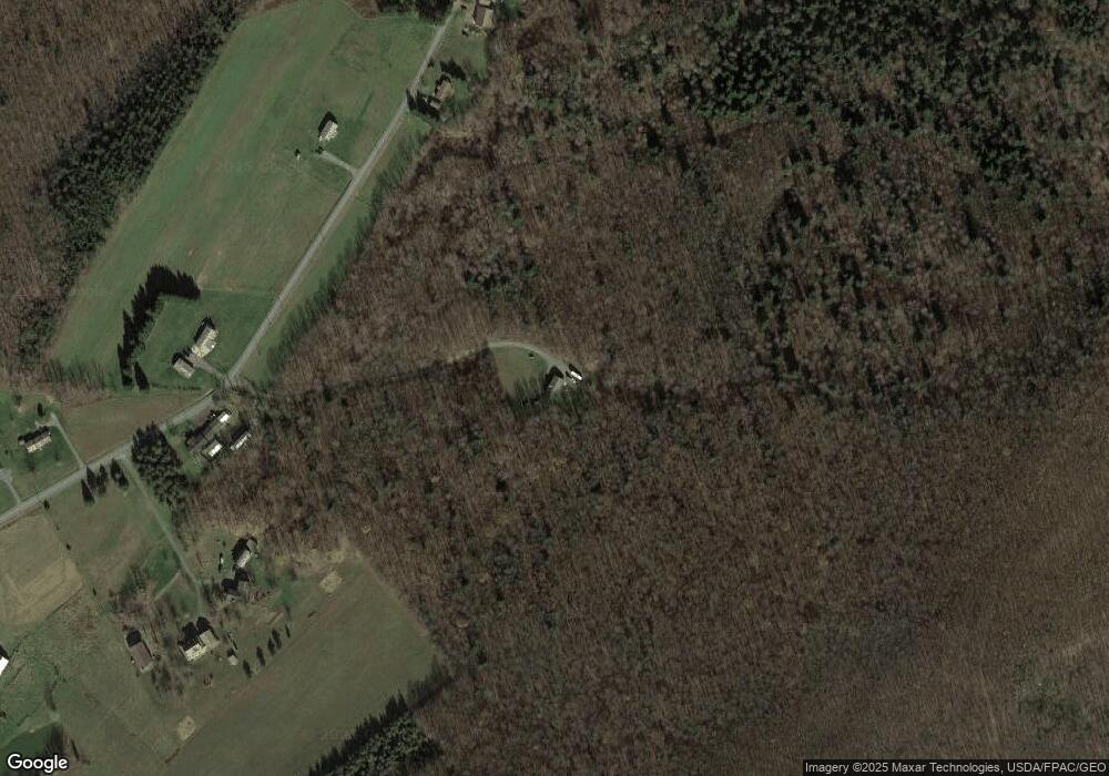
Map
Nearby Homes
- 1240 W Finzel Rd
- 1804 Finzel Rd
- 16805 Jericho Ln
- 0 Log Row NW
- 16112 Calla Hill Rd NW
- 15941 Foundry Row NW
- 15919 Foundry Row NW
- 12700 New Row Road North W
- 19903 National Hwy NW
- 15515 Mount Savage Rd NW
- 15507 Mount Savage Rd NW
- 0 Armstrong Ave
- 17211 Mount Savage Rd NW
- 15402 Mount Savage Rd NW
- 0 Talcott Ave Unit MDAL2007038
- 0 Russell Ave
- 000 Warrens Mill Rd
- 000 Warren's Mill Rd
- 193 W Main St
- 18410 Mount Savage Rd NW
- 1138 Sampson Rock Rd
- 1188 Sampson Rock Rd
- 1091 Sampson Rock Rd
- 920 Sampson Rock Rd
- 965 Sampson Rock Rd
- 876 Sampson Rock Rd
- 1177 Sampson Rock Rd
- 864 Sampson Rock Rd
- 263 Tower Rd
- 851 Sampson Rock Rd
- 811 Sampson Rock Rd
- 767 Sampson Rock Rd
- 1285 Sampson Rock Rd
- 39 Tower Rd
- 263 Tower Rd
- 711 Sampson Rock Rd
- 652 Sampson Rock Rd
- 661 Sampson Rock Rd
- 366 Sampson Rock Rd
- 456 Sampson Rock Rd