9441 W Taro Ln Peoria, AZ 85382
Estimated Value: $444,879 - $494,000
2
Beds
2
Baths
1,743
Sq Ft
$267/Sq Ft
Est. Value
About This Home
This home is located at 9441 W Taro Ln, Peoria, AZ 85382 and is currently estimated at $464,970, approximately $266 per square foot. 9441 W Taro Ln is a home located in Maricopa County with nearby schools including Apache Elementary School, Sunrise Mountain High School, and Sonoran Science Academy-Peoria.
Ownership History
Date
Name
Owned For
Owner Type
Purchase Details
Closed on
Mar 31, 2018
Sold by
Bonkalski Bernard A and Bonkalski Patricia R
Bought by
The Bernard A And Patricia R Bonkalski T
Current Estimated Value
Purchase Details
Closed on
Nov 28, 2016
Sold by
Hicks William R and Hicks Anne M
Bought by
Bonkalski Bernard A and Bonkalski Patricia R
Home Financials for this Owner
Home Financials are based on the most recent Mortgage that was taken out on this home.
Original Mortgage
$175,000
Interest Rate
4.08%
Mortgage Type
New Conventional
Purchase Details
Closed on
Dec 27, 2010
Sold by
Darro Coleen S
Bought by
Hicks William R and Hicks Anne M
Purchase Details
Closed on
Dec 22, 2008
Sold by
Darro Coleen S
Bought by
Darro Coleen S and Coleen S Darro Revocable Trust
Purchase Details
Closed on
Sep 22, 2003
Sold by
Darro John
Bought by
Darro Coleen S
Create a Home Valuation Report for This Property
The Home Valuation Report is an in-depth analysis detailing your home's value as well as a comparison with similar homes in the area
Home Values in the Area
Average Home Value in this Area
Purchase History
| Date | Buyer | Sale Price | Title Company |
|---|---|---|---|
| The Bernard A And Patricia R Bonkalski T | -- | None Available | |
| Bonkalski Bernard A | $275,000 | Clear Title Agency Of Az Llc | |
| Hicks William R | $200,000 | Greystone Title Agency | |
| Darro Coleen S | -- | None Available | |
| Darro Coleen S | -- | -- | |
| Darro Coleen S | -- | -- |
Source: Public Records
Mortgage History
| Date | Status | Borrower | Loan Amount |
|---|---|---|---|
| Previous Owner | Bonkalski Bernard A | $175,000 |
Source: Public Records
Tax History Compared to Growth
Tax History
| Year | Tax Paid | Tax Assessment Tax Assessment Total Assessment is a certain percentage of the fair market value that is determined by local assessors to be the total taxable value of land and additions on the property. | Land | Improvement |
|---|---|---|---|---|
| 2025 | $1,993 | $28,443 | -- | -- |
| 2024 | $2,608 | $27,089 | -- | -- |
| 2023 | $2,608 | $33,220 | $6,640 | $26,580 |
| 2022 | $2,556 | $27,850 | $5,570 | $22,280 |
| 2021 | $2,677 | $26,230 | $5,240 | $20,990 |
| 2020 | $2,694 | $24,420 | $4,880 | $19,540 |
| 2019 | $2,612 | $22,730 | $4,540 | $18,190 |
| 2018 | $2,159 | $21,520 | $4,300 | $17,220 |
| 2017 | $2,160 | $20,420 | $4,080 | $16,340 |
| 2016 | $2,498 | $19,070 | $3,810 | $15,260 |
| 2015 | $2,325 | $18,700 | $3,740 | $14,960 |
Source: Public Records
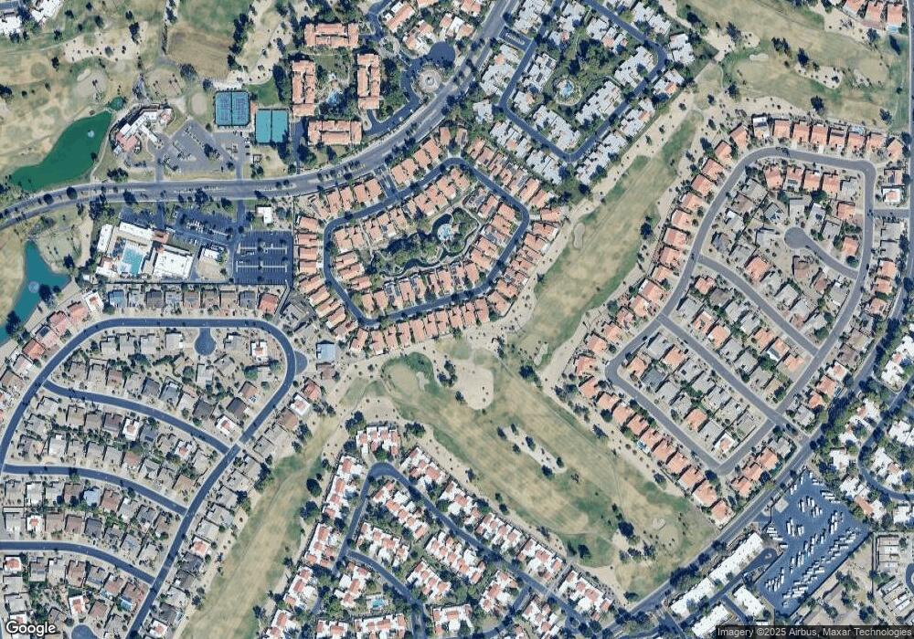
Map
Nearby Homes
- 19025 N 96th Ave
- 9237 W Kimberly Way
- 9322 W Topeka Dr Unit 71
- 19400 N Westbrook Pkwy Unit 241
- 19400 N Westbrook Pkwy Unit 121
- 19400 N Westbrook Pkwy Unit 220
- 19400 N Westbrook Pkwy Unit 216
- 9622 W Taro Ln
- 9238 W Taro Ln
- 18778 N 94th Ave
- 19249 N 93rd Dr Unit 52
- 18804 N 95th Ave Unit 19
- 19420 N Westbrook Pkwy Unit 502
- 9441 W Morrow Dr Unit 9
- 9646 W Taro Ln
- 9270 W Morrow Dr
- 9512 W Mcrae Way
- 18725 N 92nd Dr Unit 104
- 9505 W Mcrae Way Unit 39
- 9273 W Jason Dr Unit 73