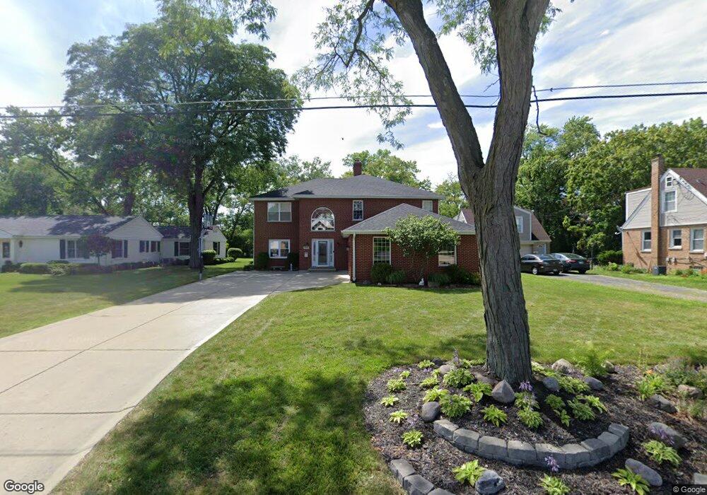
9446 Normandy Ave Morton Grove, IL 60053
Estimated Value: $816,000 - $968,000
5
Beds
3
Baths
3,900
Sq Ft
$234/Sq Ft
Est. Value
About This Home
This home is located at 9446 Normandy Ave, Morton Grove, IL 60053 and is currently estimated at $912,522, approximately $233 per square foot. 9446 Normandy Ave is a home located in Cook County with nearby schools including Hynes Elementary School, Golf Middle School, and Niles North High School.
Ownership History
Date
Name
Owned For
Owner Type
Purchase Details
Closed on
Sep 29, 2003
Sold by
Randazzo Karolyne
Bought by
Schurr Brett A and Schurr Angela M
Current Estimated Value
Home Financials for this Owner
Home Financials are based on the most recent Mortgage that was taken out on this home.
Original Mortgage
$274,400
Interest Rate
5.94%
Mortgage Type
Unknown
Create a Home Valuation Report for This Property
The Home Valuation Report is an in-depth analysis detailing your home's value as well as a comparison with similar homes in the area
Home Values in the Area
Average Home Value in this Area
Purchase History
| Date | Buyer | Sale Price | Title Company |
|---|---|---|---|
| Schurr Brett A | $343,000 | Ltic |
Source: Public Records
Mortgage History
| Date | Status | Borrower | Loan Amount |
|---|---|---|---|
| Previous Owner | Schurr Brett A | $274,400 |
Source: Public Records
Tax History Compared to Growth
Tax History
| Year | Tax Paid | Tax Assessment Tax Assessment Total Assessment is a certain percentage of the fair market value that is determined by local assessors to be the total taxable value of land and additions on the property. | Land | Improvement |
|---|---|---|---|---|
| 2024 | $16,507 | $64,000 | $25,350 | $38,650 |
| 2023 | $15,744 | $64,000 | $25,350 | $38,650 |
| 2022 | $15,744 | $64,000 | $25,350 | $38,650 |
| 2021 | $14,884 | $53,594 | $15,600 | $37,994 |
| 2020 | $14,684 | $53,594 | $15,600 | $37,994 |
| 2019 | $14,836 | $60,218 | $15,600 | $44,618 |
| 2018 | $15,636 | $57,193 | $14,137 | $43,056 |
| 2017 | $15,712 | $57,193 | $14,137 | $43,056 |
| 2016 | $15,102 | $57,193 | $14,137 | $43,056 |
| 2015 | $15,125 | $52,583 | $12,187 | $40,396 |
| 2014 | $14,850 | $52,583 | $12,187 | $40,396 |
| 2013 | $14,577 | $52,583 | $12,187 | $40,396 |
Source: Public Records
Map
Nearby Homes
- 6619 Palma Ln
- 27 Logan Terrace
- 6712 Maple St
- 9247 Natchez Ave
- 9244 Newcastle Ave
- 6909 Beckwith Rd
- 9421 Sayre Ave
- 6727 Beckwith Rd
- 7030 Foster St
- 7014 Church St
- 6638 Hazel St
- 8929 Cherry Ave
- 310 Nottingham Ave
- 1121 Longvalley Rd
- 1123 Longvalley Rd
- 1125 Longvalley Rd
- 7215 Lyons St
- 338 Nottingham Ave
- 7215 Beckwith Rd
- 7240 Palma Ln
- 9450 Normandy Ave
- 9444 Normandy Ave
- 9500 Normandy Ave
- 9447 Normandy Ave
- 9432 Normandy Ave
- 9508 Normandy Ave
- 9443 Normandy Ave
- 9505 Normandy Ave
- 6715 Palma Ln
- 9424 Normandy Ave
- 6640 Foster St
- 9516 Normandy Ave
- 6723 Palma Ln
- 6625 Foster St
- 9429 Normandy Ave
- 9420 Normandy Ave
- 9515 Normandy Ave
- 6733 Palma Ln
- 6636 Foster St
- 6641 Palma Ln