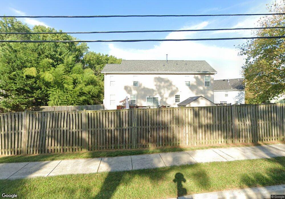
9448 Ulster Dr Laurel, MD 20723
North Laurel NeighborhoodEstimated Value: $708,341 - $795,000
4
Beds
3
Baths
2,400
Sq Ft
$307/Sq Ft
Est. Value
About This Home
This home is located at 9448 Ulster Dr, Laurel, MD 20723 and is currently estimated at $736,585, approximately $306 per square foot. 9448 Ulster Dr is a home located in Howard County with nearby schools including Forest Ridge Elementary School, Patuxent Valley Middle School, and Hammond High School.
Ownership History
Date
Name
Owned For
Owner Type
Purchase Details
Closed on
Aug 13, 2010
Sold by
Burkard Homes Llc
Bought by
Rizvi Sarwat N and Rizvi Ishrat
Current Estimated Value
Purchase Details
Closed on
Apr 7, 2010
Sold by
Security Development Llc
Bought by
Burkard Homes Llc
Purchase Details
Closed on
Dec 27, 2001
Sold by
Harrison Gladys V
Bought by
Security Development Llc
Create a Home Valuation Report for This Property
The Home Valuation Report is an in-depth analysis detailing your home's value as well as a comparison with similar homes in the area
Home Values in the Area
Average Home Value in this Area
Purchase History
| Date | Buyer | Sale Price | Title Company |
|---|---|---|---|
| Rizvi Sarwat N | $406,680 | -- | |
| Burkard Homes Llc | $155,000 | -- | |
| Security Development Llc | $100,000 | -- |
Source: Public Records
Mortgage History
| Date | Status | Borrower | Loan Amount |
|---|---|---|---|
| Closed | Burkard Homes Llc | -- |
Source: Public Records
Tax History
| Year | Tax Paid | Tax Assessment Tax Assessment Total Assessment is a certain percentage of the fair market value that is determined by local assessors to be the total taxable value of land and additions on the property. | Land | Improvement |
|---|---|---|---|---|
| 2025 | $9,003 | $615,300 | $231,800 | $383,500 |
| 2024 | $9,003 | $590,167 | $0 | $0 |
| 2023 | $8,547 | $565,033 | $0 | $0 |
| 2022 | $8,146 | $539,900 | $221,800 | $318,100 |
| 2021 | $7,497 | $517,333 | $0 | $0 |
| 2020 | $7,497 | $494,767 | $0 | $0 |
| 2019 | $7,173 | $472,200 | $163,200 | $309,000 |
| 2018 | $6,787 | $470,233 | $0 | $0 |
| 2017 | $6,736 | $472,200 | $0 | $0 |
| 2016 | -- | $466,300 | $0 | $0 |
| 2015 | -- | $441,200 | $0 | $0 |
| 2014 | -- | $416,100 | $0 | $0 |
Source: Public Records
Map
Nearby Homes
- 9947 Harmony Ln
- 9070 Moonshine Hollow
- 9508 Mellow Ct
- 9079 Manorwood Rd
- 9075 N Laurel Rd Unit E
- 9342 Canterbury Riding
- 9711 Whiskey Run
- 9695 Hitching Post Ln Unit H
- 9175 Hitching Post Ln Unit F
- 9438 Loch Leven Ct
- 9640 Homestead Ct Unit F
- 9405 Chippenham Dr
- 8605 Jennifer Ct
- 9390 Rock Ripple Ln
- 9324 Meredith Ave
- 8759 Weathered Stone Way
- Lot 5 Cissell Ave
- 9575 Cissell Ave
- 9401 Riverbrink Ct
- 3623 Duckhorn Way
- 9452 Ulster Dr
- 9456 Ulster Dr
- 9444 Ulster Dr
- 9586 Whiskey Bottom Rd
- 9956 Harmony Ln
- 9952 Harmony Ln
- 9948 Harmony Ln
- 9598 Whiskey Bottom Rd
- 9944 Harmony Ln
- 9955 Harmony Ln
- 9070 Moonshine Hollow Unit F
- 9070 Moonshine Hollow Unit M
- 9060 Moonshine Hollow Unit K
- 9060 Moonshine Hollow Unit A
- 9070 Moonshine Hollow Unit G
- 9060 Moonshine Hollow Unit D
- 9070 Moonshine Hollow Unit A
- 9060 Moonshine Hollow Unit L
- 9070 Moonshine Hollow Unit E
- 9060 Moonshine Hollow Unit E
Your Personal Tour Guide
Ask me questions while you tour the home.