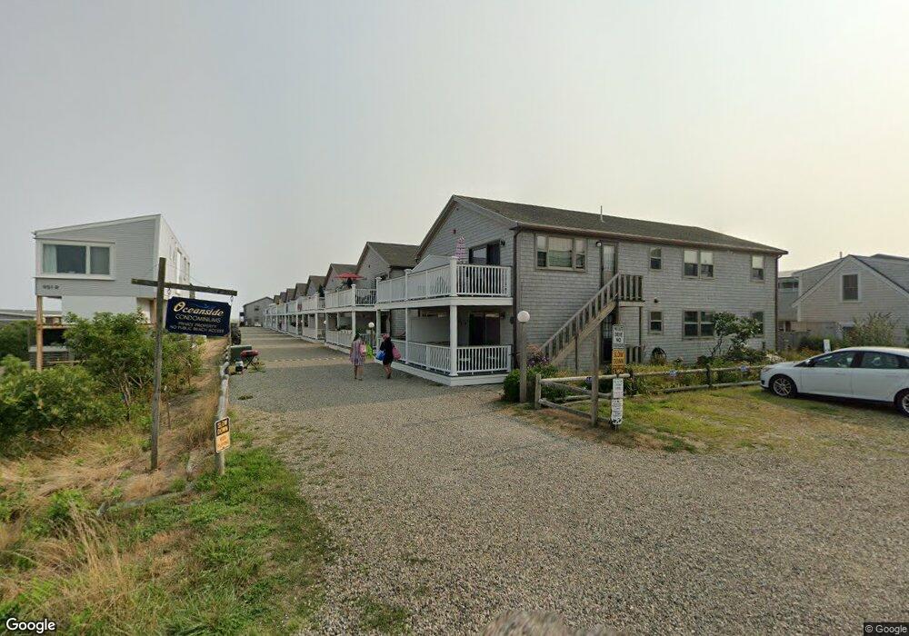
945 Commercial St Unit 8D Provincetown, MA 02657
Estimated Value: $593,000 - $734,047
2
Beds
1
Bath
700
Sq Ft
$968/Sq Ft
Est. Value
About This Home
This home is located at 945 Commercial St Unit 8D, Provincetown, MA 02657 and is currently estimated at $677,512, approximately $967 per square foot. 945 Commercial St Unit 8D is a home located in Barnstable County with nearby schools including Provincetown Schools.
Ownership History
Date
Name
Owned For
Owner Type
Purchase Details
Closed on
Jun 21, 1996
Sold by
Webber Rex M and Webber Brian W
Bought by
Spraker James E and Spraker Joyce M
Current Estimated Value
Home Financials for this Owner
Home Financials are based on the most recent Mortgage that was taken out on this home.
Original Mortgage
$88,000
Outstanding Balance
$5,730
Interest Rate
8.21%
Mortgage Type
Purchase Money Mortgage
Estimated Equity
$671,782
Create a Home Valuation Report for This Property
The Home Valuation Report is an in-depth analysis detailing your home's value as well as a comparison with similar homes in the area
Home Values in the Area
Average Home Value in this Area
Purchase History
| Date | Buyer | Sale Price | Title Company |
|---|---|---|---|
| Spraker James E | $112,500 | -- | |
| Spraker James E | $112,500 | -- |
Source: Public Records
Mortgage History
| Date | Status | Borrower | Loan Amount |
|---|---|---|---|
| Open | Spraker James E | $88,000 | |
| Closed | Spraker James E | $88,000 |
Source: Public Records
Tax History Compared to Growth
Tax History
| Year | Tax Paid | Tax Assessment Tax Assessment Total Assessment is a certain percentage of the fair market value that is determined by local assessors to be the total taxable value of land and additions on the property. | Land | Improvement |
|---|---|---|---|---|
| 2025 | $3,531 | $630,500 | $0 | $630,500 |
| 2024 | $3,488 | $625,000 | $0 | $625,000 |
| 2023 | $2,860 | $478,200 | $0 | $478,200 |
| 2022 | $2,946 | $442,400 | $0 | $442,400 |
| 2021 | $2,494 | $352,300 | $0 | $352,300 |
| 2020 | $2,844 | $429,600 | $0 | $429,600 |
| 2019 | $2,279 | $322,800 | $0 | $322,800 |
| 2018 | $2,149 | $288,500 | $0 | $288,500 |
| 2017 | $2,140 | $277,500 | $0 | $277,500 |
| 2016 | $2,115 | $271,100 | $0 | $271,100 |
| 2015 | $2,042 | $276,700 | $0 | $276,700 |
Source: Public Records
Map
Nearby Homes
- 953 Commercial St Unit 5
- 21 Dewey Ave Unit 4
- 897 Commercial St
- 63 Mayflower Ave Unit 1-2
- 658 Shore Rd Unit 8
- 777 Commercial St
- 544 Shore Rd Unit 3
- 690 Commercial St Unit 13C
- 350 Bradford St Unit 7
- 4 Bradford Acres Rd Unit F
- 4 Bradford Acres Rd Unit F
- 12 Somerset Rd
- 633 Commercial St Unit 2
- 624 Commercial St
- 496 Shore Rd Unit 21
- 496 Shore Rd Unit 3
- 616 Commercial St Unit 5
- 616 Commercial St Unit 10
- 616 Commercial St Unit 14
- 600 Commercial St Unit 3
- 945 Commercial St Unit 10D
- 945 Commercial St Unit 10C
- 945 Commercial St Unit 10B
- 945 Commercial St Unit 10A
- 945 Commercial St Unit 9C
- 945 Commercial St Unit 9B
- 945 Commercial St Unit 9A
- 945 Commercial St Unit 8C
- 945 Commercial St Unit 8B
- 945 Commercial St Unit 8A
- 945 Commercial St Unit 7D
- 945 Commercial St Unit 7C
- 945 Commercial St Unit 7B
- 945 Commercial St Unit 7A
- 945 Commercial St Unit 6D
- 945 Commercial St Unit 6C
- 945 Commercial St Unit 6B
- 945 Commercial St Unit 6A
- 945 Commercial St Unit 5D
- 945 Commercial St Unit 5C