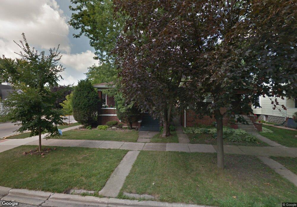
945 Lathrop Ave Forest Park, IL 60130
Estimated Value: $386,000 - $423,000
3
Beds
1
Bath
1,275
Sq Ft
$317/Sq Ft
Est. Value
About This Home
This home is located at 945 Lathrop Ave, Forest Park, IL 60130 and is currently estimated at $404,439, approximately $317 per square foot. 945 Lathrop Ave is a home located in Cook County with nearby schools including Garfield Elementary School, Field Stevenson Elementary School, and Betsy Ross Elementary School.
Ownership History
Date
Name
Owned For
Owner Type
Purchase Details
Closed on
Nov 11, 2021
Sold by
Joel Lessing and Stokes Laurie A
Bought by
Laurie Stokes and Laurie Joel Lessing
Current Estimated Value
Purchase Details
Closed on
Jun 1, 1995
Sold by
Skey Anthony F M and Skey Carol M
Bought by
Lessing Joel O and Stokes Laurie A
Home Financials for this Owner
Home Financials are based on the most recent Mortgage that was taken out on this home.
Original Mortgage
$128,700
Interest Rate
7.9%
Create a Home Valuation Report for This Property
The Home Valuation Report is an in-depth analysis detailing your home's value as well as a comparison with similar homes in the area
Home Values in the Area
Average Home Value in this Area
Purchase History
| Date | Buyer | Sale Price | Title Company |
|---|---|---|---|
| Laurie Stokes | -- | None Available | |
| Lessing Joel O | $135,500 | Land Title Group Inc |
Source: Public Records
Mortgage History
| Date | Status | Borrower | Loan Amount |
|---|---|---|---|
| Closed | Lessing Joel O | $128,700 |
Source: Public Records
Tax History Compared to Growth
Tax History
| Year | Tax Paid | Tax Assessment Tax Assessment Total Assessment is a certain percentage of the fair market value that is determined by local assessors to be the total taxable value of land and additions on the property. | Land | Improvement |
|---|---|---|---|---|
| 2024 | $8,235 | $28,897 | $4,658 | $24,239 |
| 2023 | $7,278 | $30,733 | $4,658 | $26,075 |
| 2022 | $7,278 | $23,726 | $3,571 | $20,155 |
| 2021 | $6,943 | $23,725 | $3,570 | $20,155 |
| 2020 | $6,842 | $23,725 | $3,570 | $20,155 |
| 2019 | $6,736 | $22,561 | $3,260 | $19,301 |
| 2018 | $6,596 | $22,561 | $3,260 | $19,301 |
| 2017 | $6,471 | $22,561 | $3,260 | $19,301 |
| 2016 | $6,316 | $20,121 | $2,949 | $17,172 |
| 2015 | $6,172 | $20,121 | $2,949 | $17,172 |
| 2014 | $6,075 | $20,121 | $2,949 | $17,172 |
| 2013 | $6,588 | $23,000 | $2,949 | $20,051 |
Source: Public Records
Map
Nearby Homes
- 1008 Lathrop Ave
- 1007 Ferdinand Ave
- 940 Troost Ave
- 1013 Ferdinand Ave
- 900 Dunlop Ave
- 915 Ferdinand Ave
- 900 Lathrop Ave
- 1024 Ferdinand Ave
- 944 Beloit Ave Unit 4
- 944 Beloit Ave Unit 5
- 944 Beloit Ave Unit 1
- 944 Beloit Ave Unit 2
- 1115 Ferdinand Ave
- 7742 Taylor St
- 1124 Lathrop Ave
- 827 Thomas Ave
- 1118 Thomas Ave
- 1103 Circle Ave
- 1042 Circle Ave
- 941 Marengo Ave
- 943 Lathrop Ave
- 939 Lathrop Ave
- 1001 Lathrop Ave
- 7617 Harvard St Unit 1
- 7617 Harvard St Unit 2
- 7616 Harvard St
- 937 Lathrop Ave
- 935 Lathrop Ave
- 1005 Lathrop Ave
- 933 Lathrop Ave
- 7620 Harvard St
- 1009 Lathrop Ave
- 931 Lathrop Ave
- 938 Dunlop Ave
- 944 Lathrop Ave
- 1011 Lathrop Ave
- 1011 Lathrop Ave Unit 1
- 940 Lathrop Ave
- 934 Dunlop Ave
- 938 Lathrop Ave