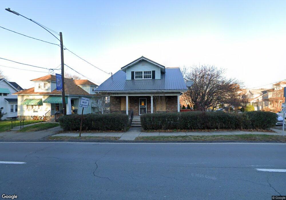
945 Moosic St Unit 947 Scranton, PA 18505
South Side NeighborhoodEstimated Value: $190,000 - $330,000
--
Bed
--
Bath
--
Sq Ft
4,922
Sq Ft Lot
About This Home
This home is located at 945 Moosic St Unit 947, Scranton, PA 18505 and is currently estimated at $261,245. 945 Moosic St Unit 947 is a home located in Lackawanna County with nearby schools including Jackson Davis Elementary School, Longdale Elementary School, and Pinchbeck Elementary School.
Ownership History
Date
Name
Owned For
Owner Type
Purchase Details
Closed on
Jul 7, 2019
Sold by
Walta Javier
Bought by
Walta Javier and Blalock Safiyah
Current Estimated Value
Purchase Details
Closed on
Oct 16, 2015
Sold by
Conway John and Conway Sharon
Bought by
Walta William A and Walta Rosa M
Purchase Details
Closed on
Jun 1, 2009
Sold by
Buttner Linda Brenne and Buttner Frederick George
Bought by
Conway John and Conway Sharon
Purchase Details
Closed on
Nov 9, 2006
Sold by
Brenne Mary M
Bought by
Buttner Linda M
Create a Home Valuation Report for This Property
The Home Valuation Report is an in-depth analysis detailing your home's value as well as a comparison with similar homes in the area
Home Values in the Area
Average Home Value in this Area
Purchase History
| Date | Buyer | Sale Price | Title Company |
|---|---|---|---|
| Walta Javier | -- | None Available | |
| Walta William A | $138,000 | Attorney | |
| Conway John | $118,000 | None Available | |
| Buttner Linda M | -- | None Available |
Source: Public Records
Tax History Compared to Growth
Tax History
| Year | Tax Paid | Tax Assessment Tax Assessment Total Assessment is a certain percentage of the fair market value that is determined by local assessors to be the total taxable value of land and additions on the property. | Land | Improvement |
|---|---|---|---|---|
| 2025 | $4,350 | $12,000 | $4,400 | $7,600 |
| 2024 | $4,008 | $12,000 | $4,400 | $7,600 |
| 2023 | $4,008 | $12,000 | $4,400 | $7,600 |
| 2022 | $3,921 | $12,000 | $4,400 | $7,600 |
| 2021 | $3,921 | $12,000 | $4,400 | $7,600 |
| 2020 | $3,857 | $12,000 | $4,400 | $7,600 |
| 2019 | $3,638 | $12,000 | $4,400 | $7,600 |
| 2018 | $3,638 | $12,000 | $4,400 | $7,600 |
| 2017 | $3,582 | $12,000 | $4,400 | $7,600 |
| 2016 | $0 | $12,000 | $4,400 | $7,600 |
| 2015 | $2,776 | $12,000 | $4,400 | $7,600 |
| 2014 | -- | $12,000 | $4,400 | $7,600 |
Source: Public Records
Map
Nearby Homes
- 24 Stafford Ave
- 910 Orchard St
- 824 Hemlock St
- 307 Crown Ave
- 228 Prescott Ave
- 933 Hickory St
- 342 Harrison Ave
- 329 Prescott Ave
- 741 River St
- 316 Taylor Ave
- 414 Wintermantle Ave
- 610 Moosic St
- 917 Willow St
- 1025 Willow St
- 0 Colfax Ave
- 516 Harrison Ave
- 432 Taylor Ave
- 321 Prospect Ave
- 728 Alder St
- 409 Prospect Ave
- 945 Moosic St
- 945 947 Moosic St
- 943 Moosic St
- 1001 Moosic St
- 20 Stafford Ave
- 941 Moosic St
- 941 Moosic St
- 1003 Moosic St
- 16 Stafford Ave
- 100 Stafford Ave
- 937 Moosic St
- 1005 Moosic St
- 1000 Moosic St
- 10 Stafford Ave
- 19 Stafford Ave
- 935 Moosic St
- 13 Stafford Ave
- 1007 Moosic St
- 108 Stafford Ave
- 21 Stafford Ave