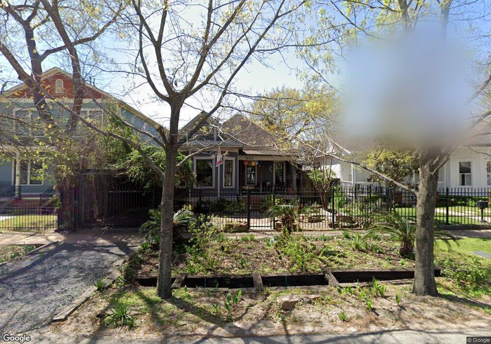
945 Rutland St Houston, TX 77008
Greater Heights NeighborhoodEstimated Value: $716,000 - $763,000
2
Beds
2
Baths
1,620
Sq Ft
$456/Sq Ft
Est. Value
About This Home
This home is located at 945 Rutland St, Houston, TX 77008 and is currently estimated at $739,274, approximately $456 per square foot. 945 Rutland St is a home located in Harris County with nearby schools including Love Elementary School, Hogg Middle, and Heights High School.
Ownership History
Date
Name
Owned For
Owner Type
Purchase Details
Closed on
Jun 24, 2019
Sold by
Bachman Leonard R and Bachman Christine M
Bought by
Jennette Benjamin G and Hunt Amanda J
Current Estimated Value
Home Financials for this Owner
Home Financials are based on the most recent Mortgage that was taken out on this home.
Original Mortgage
$424,000
Outstanding Balance
$372,800
Interest Rate
4.1%
Mortgage Type
New Conventional
Estimated Equity
$366,474
Purchase Details
Closed on
Oct 14, 1996
Sold by
Olsen Barry
Bought by
Bachman Leonard R and Bachman Christine
Create a Home Valuation Report for This Property
The Home Valuation Report is an in-depth analysis detailing your home's value as well as a comparison with similar homes in the area
Home Values in the Area
Average Home Value in this Area
Purchase History
| Date | Buyer | Sale Price | Title Company |
|---|---|---|---|
| Jennette Benjamin G | -- | Texas American Title Company | |
| Bachman Leonard R | -- | Stewart Title Company |
Source: Public Records
Mortgage History
| Date | Status | Borrower | Loan Amount |
|---|---|---|---|
| Open | Jennette Benjamin G | $424,000 |
Source: Public Records
Tax History Compared to Growth
Tax History
| Year | Tax Paid | Tax Assessment Tax Assessment Total Assessment is a certain percentage of the fair market value that is determined by local assessors to be the total taxable value of land and additions on the property. | Land | Improvement |
|---|---|---|---|---|
| 2025 | $9,597 | $633,000 | $479,000 | $154,000 |
| 2024 | $9,597 | $644,333 | $479,000 | $165,333 |
| 2023 | $9,597 | $675,650 | $479,000 | $196,650 |
| 2022 | $11,358 | $515,809 | $359,250 | $156,559 |
| 2021 | $11,315 | $485,493 | $344,880 | $140,613 |
| 2020 | $11,592 | $478,686 | $344,880 | $133,806 |
| 2019 | $9,536 | $411,350 | $311,350 | $100,000 |
| 2018 | $4,409 | $342,600 | $287,400 | $55,200 |
| 2017 | $8,948 | $356,891 | $287,400 | $69,491 |
| 2016 | $8,135 | $410,000 | $364,998 | $45,002 |
| 2015 | $5,317 | $378,000 | $304,165 | $73,835 |
| 2014 | $5,317 | $345,000 | $273,749 | $71,251 |
Source: Public Records
Map
Nearby Homes
- 319 W 10th St
- 1021 Allston St
- 953 Yale St Unit 1
- 1034 Ashland St Unit A
- 1026 Allston St
- 1032 Allston St
- 839 Allston St
- 1031 Ashland St
- 1109 Rutland St
- 836 Allston St
- 1111 Rutland St
- 1024 Waverly St
- 1106 Tulane St
- 945 Waverly St
- 1007 Heights Blvd
- 1118 Tulane St
- 1124 Ashland St
- 810 Allston St
- 513 W 8th St
- 1116 Waverly St
- 939 Rutland St
- 947 Rutland St
- 410 W 10th St
- 937 Rutland St
- 923 Rutland St
- 940 Tulane St
- 944 Tulane St
- 938 Tulane St
- 322 W 10th St
- 1016 Rutland St
- 921 Rutland St
- 936 Tulane St
- 934 Rutland St Unit B
- 934 Rutland St
- 932 Rutland St Unit B
- 932 Rutland St Unit A
- 932 Rutland St
- 932 Tulane St
- 413 W 10th St
- 919 Rutland St