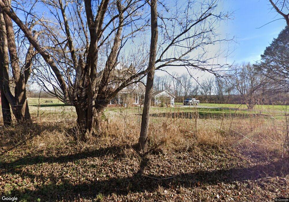
945 S County Road 200 W Danville, IN 46122
Estimated Value: $374,000 - $530,000
4
Beds
3
Baths
2,550
Sq Ft
$191/Sq Ft
Est. Value
About This Home
This home is located at 945 S County Road 200 W, Danville, IN 46122 and is currently estimated at $486,758, approximately $190 per square foot. 945 S County Road 200 W is a home located in Hendricks County with nearby schools including North Elementary School, Danville Middle School, and South Elementary School.
Ownership History
Date
Name
Owned For
Owner Type
Purchase Details
Closed on
May 31, 2005
Sold by
Saulsgiver Jacob A and Saulsgiver Sally A
Bought by
Campbell Timothy R and Campbell Debra L
Current Estimated Value
Purchase Details
Closed on
Dec 29, 2003
Sold by
Moore Teri L
Bought by
Saulsgiver Jacob A and Saulsgiver Sally A
Home Financials for this Owner
Home Financials are based on the most recent Mortgage that was taken out on this home.
Original Mortgage
$228,400
Interest Rate
5.94%
Mortgage Type
Purchase Money Mortgage
Create a Home Valuation Report for This Property
The Home Valuation Report is an in-depth analysis detailing your home's value as well as a comparison with similar homes in the area
Home Values in the Area
Average Home Value in this Area
Purchase History
| Date | Buyer | Sale Price | Title Company |
|---|---|---|---|
| Campbell Timothy R | -- | None Available | |
| Saulsgiver Jacob A | -- | Mid America Title Co Inc |
Source: Public Records
Mortgage History
| Date | Status | Borrower | Loan Amount |
|---|---|---|---|
| Previous Owner | Saulsgiver Jacob A | $228,400 |
Source: Public Records
Tax History Compared to Growth
Tax History
| Year | Tax Paid | Tax Assessment Tax Assessment Total Assessment is a certain percentage of the fair market value that is determined by local assessors to be the total taxable value of land and additions on the property. | Land | Improvement |
|---|---|---|---|---|
| 2024 | $4,478 | $399,300 | $98,900 | $300,400 |
| 2023 | $4,513 | $398,200 | $87,400 | $310,800 |
| 2022 | $4,158 | $366,600 | $79,900 | $286,700 |
| 2021 | $3,571 | $345,200 | $49,300 | $295,900 |
| 2020 | $3,304 | $318,600 | $49,200 | $269,400 |
| 2019 | $3,293 | $315,800 | $43,800 | $272,000 |
| 2018 | $3,230 | $309,300 | $44,000 | $265,300 |
| 2017 | $3,175 | $302,100 | $44,600 | $257,500 |
| 2016 | $3,095 | $294,100 | $45,200 | $248,900 |
| 2014 | $2,941 | $277,300 | $45,000 | $232,300 |
Source: Public Records
Map
Nearby Homes
- 2110 Covey Dr
- 2105 Covey Dr
- 2097 Covey Dr
- 2094 Covey Dr
- 2118 Covey Dr
- 317 Backwood Dr
- 1348 McCormicks Cir
- 1331 McCormicks Cir
- 663 S County Road 75 W
- Harmony Plan at Miles Farm
- Johnstown Plan at Miles Farm
- Cortland Plan at Miles Farm
- Holcombe Plan at Miles Farm
- Dayton Plan at Miles Farm
- Chatham Plan at Miles Farm
- Stamford Plan at Miles Farm
- Freeport Plan at Miles Farm
- Campton Plan at Miles Farm
- Henley Plan at Miles Farm
- Bellamy Plan at Miles Farm
- 1275 Co Rd 200 W Rd N
- 960 S County Road 200 W
- 920 S County Road 200 W
- 3727 W 100 S
- 1274 S County Road 250 W
- 1300 S County Road 250 W
- 864 S County Road 200 W
- 0 S County Road 250 W Unit 21750151
- 0 S County Road 250 W Unit 21600549
- 2 S County Road 250 W
- 1 S County Road 250 W
- 0 S County Road 250 W
- 730 Oak Tree Ln
- 2119 W County Road 50 S
- 1501 S County Road 250 W
- 648 S County Road 200 W
- 2115 W County Road 50 S
- 640 Oak Tree Ln
- 2499 W County Road 50 S
- 2109 W 50 S