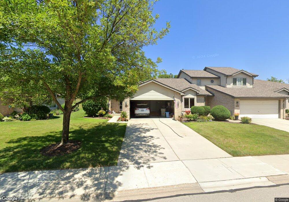
9450 Debbie Ln Orland Park, IL 60467
Central Orland NeighborhoodEstimated Value: $314,000 - $375,000
2
Beds
2
Baths
1,578
Sq Ft
$218/Sq Ft
Est. Value
About This Home
This home is located at 9450 Debbie Ln, Orland Park, IL 60467 and is currently estimated at $344,235, approximately $218 per square foot. 9450 Debbie Ln is a home located in Cook County with nearby schools including Fernway Park Elementary School, Prairie View Middle School, and Victor J Andrew High School.
Ownership History
Date
Name
Owned For
Owner Type
Purchase Details
Closed on
Apr 1, 2010
Sold by
Carey Jill A
Bought by
Marcum Harold D and Marcum Sandra J
Current Estimated Value
Home Financials for this Owner
Home Financials are based on the most recent Mortgage that was taken out on this home.
Original Mortgage
$100,100
Outstanding Balance
$67,000
Interest Rate
5.1%
Mortgage Type
New Conventional
Estimated Equity
$277,235
Purchase Details
Closed on
May 23, 1997
Sold by
Palos Bank & Trust Company
Bought by
Ohlsen Jack J and Ohlsen Martha J
Create a Home Valuation Report for This Property
The Home Valuation Report is an in-depth analysis detailing your home's value as well as a comparison with similar homes in the area
Home Values in the Area
Average Home Value in this Area
Purchase History
| Date | Buyer | Sale Price | Title Company |
|---|---|---|---|
| Marcum Harold D | $220,000 | Chicago Title Insurance Co | |
| Ohlsen Jack J | $173,500 | Intercounty Title |
Source: Public Records
Mortgage History
| Date | Status | Borrower | Loan Amount |
|---|---|---|---|
| Open | Marcum Harold D | $100,100 |
Source: Public Records
Tax History Compared to Growth
Tax History
| Year | Tax Paid | Tax Assessment Tax Assessment Total Assessment is a certain percentage of the fair market value that is determined by local assessors to be the total taxable value of land and additions on the property. | Land | Improvement |
|---|---|---|---|---|
| 2024 | $6,590 | $28,863 | $1,616 | $27,247 |
| 2023 | $5,229 | $30,000 | $1,616 | $28,384 |
| 2022 | $5,229 | $21,048 | $2,540 | $18,508 |
| 2021 | $5,122 | $21,047 | $2,539 | $18,508 |
| 2020 | $5,085 | $21,047 | $2,539 | $18,508 |
| 2019 | $5,621 | $23,737 | $2,309 | $21,428 |
| 2018 | $5,494 | $23,737 | $2,309 | $21,428 |
| 2017 | $5,398 | $23,737 | $2,309 | $21,428 |
| 2016 | $5,511 | $21,005 | $2,078 | $18,927 |
| 2015 | $5,390 | $21,005 | $2,078 | $18,927 |
| 2014 | $5,357 | $21,005 | $2,078 | $18,927 |
| 2013 | $5,245 | $22,068 | $2,078 | $19,990 |
Source: Public Records
Map
Nearby Homes
- 16515 S La Grange Rd
- 9338 Meadowview Dr Unit 9338
- 16313 Bob White Cir
- 9300 Park Place
- 16328 Bob White Cir
- 16662 Seton Place Unit 16662
- 9411 Albany Ct
- 16121 S 94th Ave
- 9404 Lindsay St
- 16306 Chickadee Cir
- 16040 Boardwalk Ln Unit 4A
- 9225 162nd St
- 16671 Liberty Cir Unit 2N
- 16779 92nd Ave
- 9910 W 167th St
- 16656 Beacon Ln
- 16753 91st Ave
- 8901 Leslie Dr
- 16805 Hilltop Ave
- 17018 93rd Ave