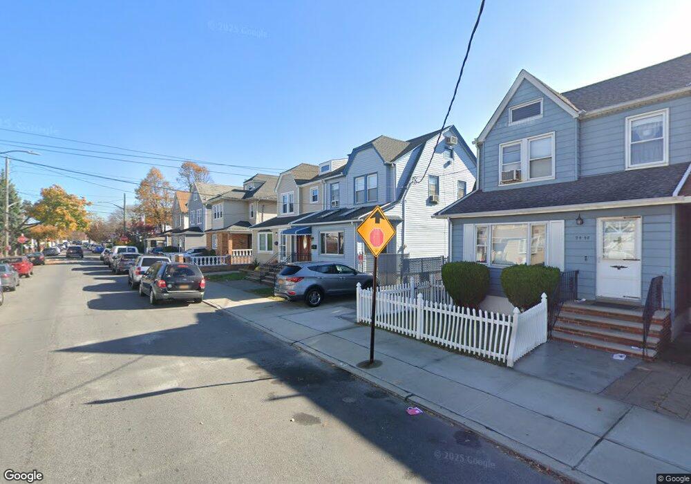
9454 Plattwood Ave Ozone Park, NY 11417
Ozone Park NeighborhoodEstimated Value: $738,135 - $909,000
--
Bed
--
Bath
1,625
Sq Ft
$515/Sq Ft
Est. Value
About This Home
This home is located at 9454 Plattwood Ave, Ozone Park, NY 11417 and is currently estimated at $836,534, approximately $514 per square foot. 9454 Plattwood Ave is a home located in Queens County with nearby schools including P.S. 63 - Old South, Robert H. Goddard High School, and John Adams High School.
Ownership History
Date
Name
Owned For
Owner Type
Purchase Details
Closed on
Mar 7, 2008
Sold by
Madrid Domingo R
Bought by
Velasquez Bill and Velasquez Jennie
Current Estimated Value
Home Financials for this Owner
Home Financials are based on the most recent Mortgage that was taken out on this home.
Original Mortgage
$49,990
Outstanding Balance
$31,017
Interest Rate
5.75%
Estimated Equity
$805,517
Purchase Details
Closed on
Mar 1, 2006
Sold by
Angieri Mario and Angieri Palma
Bought by
Madrid Domingo R
Create a Home Valuation Report for This Property
The Home Valuation Report is an in-depth analysis detailing your home's value as well as a comparison with similar homes in the area
Home Values in the Area
Average Home Value in this Area
Purchase History
| Date | Buyer | Sale Price | Title Company |
|---|---|---|---|
| Velasquez Bill | $499,900 | -- | |
| Velasquez Bill | $499,900 | -- | |
| Madrid Domingo R | $567,100 | -- | |
| Madrid Domingo R | $567,100 | -- |
Source: Public Records
Mortgage History
| Date | Status | Borrower | Loan Amount |
|---|---|---|---|
| Open | Velasquez Bill | $49,990 | |
| Closed | Velasquez Bill | $49,990 | |
| Open | Velasquez Bill | $399,900 | |
| Closed | Velasquez Bill | $399,900 |
Source: Public Records
Tax History Compared to Growth
Tax History
| Year | Tax Paid | Tax Assessment Tax Assessment Total Assessment is a certain percentage of the fair market value that is determined by local assessors to be the total taxable value of land and additions on the property. | Land | Improvement |
|---|---|---|---|---|
| 2025 | $6,973 | $38,219 | $11,033 | $27,186 |
| 2024 | $6,985 | $36,116 | $9,972 | $26,144 |
| 2023 | $6,627 | $34,396 | $9,956 | $24,440 |
| 2022 | $6,236 | $45,480 | $13,320 | $32,160 |
| 2021 | $6,580 | $39,660 | $13,320 | $26,340 |
| 2020 | $6,445 | $39,840 | $13,320 | $26,520 |
| 2019 | $6,003 | $35,340 | $13,320 | $22,020 |
| 2018 | $5,545 | $28,663 | $9,235 | $19,428 |
| 2017 | $5,251 | $27,228 | $11,030 | $16,198 |
| 2016 | $5,133 | $27,228 | $11,030 | $16,198 |
| 2015 | $2,878 | $26,541 | $12,392 | $14,149 |
| 2014 | $2,878 | $25,081 | $13,351 | $11,730 |
Source: Public Records
Map
Nearby Homes
- 9426 Sutter Ave
- 9439 134th Ave
- 13319 Crossbay Blvd
- 96-06 134th Rd
- 107-62 93rd St
- 10723 96th St
- 95-18 Linden Blvd
- 10719 96th St
- 91-25 Gold Rd
- 9108 Sutter Ave
- 106-38 95th St
- 132-01 100th St
- 13408 Sitka St
- 13421 Hawtree St
- 107-20 92nd St
- 10010 133rd Ave
- 9407 Pitkin Ave
- 9515 Pitkin Ave
- 90-28 Pitkin Ave Unit 1,2 and 3
- 8851 Pitkin Ave
- 9450 Plattwood Ave
- 9456 Plattwood Ave
- 9448 Plattwood Ave
- 9460 Plattwood Ave
- 9460 Plattwood Ave
- 9444 Plattwood Ave
- 9464 Plattwood Ave
- 9451 133rd Ave
- 9455 133rd Ave
- 9449 133rd Ave
- 9457 133rd Ave
- 9442 Plattwood Ave
- 9455 133rd Ave
- 9455 133rd Ave
- 9447 133rd Ave
- 94-47 133rd Ave
- 9459 133rd Ave
- 9441 133rd Ave
- 94-41 133rd Ave
- 9459 133rd Ave