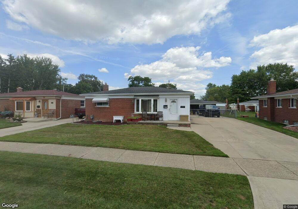
9455 Sylvester St Taylor, MI 48180
Estimated Value: $187,000 - $214,000
--
Bed
--
Bath
1,022
Sq Ft
$200/Sq Ft
Est. Value
About This Home
This home is located at 9455 Sylvester St, Taylor, MI 48180 and is currently estimated at $204,345, approximately $199 per square foot. 9455 Sylvester St is a home located in Wayne County with nearby schools including Kinyon Elementary School, Robert J. West Middle School, and Taylor High School.
Ownership History
Date
Name
Owned For
Owner Type
Purchase Details
Closed on
Feb 7, 2025
Sold by
Sicoli Frances Anna and Sicoli James F
Bought by
Harrington James
Current Estimated Value
Home Financials for this Owner
Home Financials are based on the most recent Mortgage that was taken out on this home.
Original Mortgage
$180,000
Outstanding Balance
$178,930
Interest Rate
6.91%
Mortgage Type
VA
Estimated Equity
$25,415
Create a Home Valuation Report for This Property
The Home Valuation Report is an in-depth analysis detailing your home's value as well as a comparison with similar homes in the area
Home Values in the Area
Average Home Value in this Area
Purchase History
| Date | Buyer | Sale Price | Title Company |
|---|---|---|---|
| Harrington James | $180,000 | None Listed On Document | |
| Harrington James | $180,000 | None Listed On Document |
Source: Public Records
Mortgage History
| Date | Status | Borrower | Loan Amount |
|---|---|---|---|
| Open | Harrington James | $180,000 | |
| Closed | Harrington James | $180,000 |
Source: Public Records
Tax History Compared to Growth
Tax History
| Year | Tax Paid | Tax Assessment Tax Assessment Total Assessment is a certain percentage of the fair market value that is determined by local assessors to be the total taxable value of land and additions on the property. | Land | Improvement |
|---|---|---|---|---|
| 2025 | $2,104 | $98,600 | $0 | $0 |
| 2024 | $2,104 | $91,900 | $0 | $0 |
| 2023 | $2,008 | $81,200 | $0 | $0 |
| 2022 | $2,008 | $72,100 | $0 | $0 |
| 2021 | $2,150 | $64,600 | $0 | $0 |
| 2020 | $2,128 | $57,400 | $0 | $0 |
| 2019 | $212,778 | $46,800 | $0 | $0 |
| 2018 | $1,677 | $40,800 | $0 | $0 |
| 2017 | $910 | $38,400 | $0 | $0 |
| 2016 | $2,074 | $37,300 | $0 | $0 |
| 2015 | $3,800 | $38,600 | $0 | $0 |
| 2013 | $3,770 | $38,400 | $0 | $0 |
| 2012 | $1,641 | $38,000 | $13,200 | $24,800 |
Source: Public Records
Map
Nearby Homes
- 9560 Sylvester St
- 9381 Pardee Rd
- 22327 Wick Rd
- 22311 Wick Rd
- 9167 Groschner St
- 22150 Haig St
- 22455 Meadow Woods Cir
- 23364 Baker St
- 22382 Mary St
- 22134 Wick Rd
- 23210 Mary St
- 9942 Lincoln St
- 22333 Kinyon St
- 9062 Monroe Blvd
- 22129 Kinyon St Unit 52
- 23395 Pinewood Dr Unit 121
- 9883 Roosevelt St
- 22726 Haskell St
- 9788 Pine St
- 9125 Dudley St
- 9443 Sylvester St
- 9469 Sylvester St
- 9460 Pardee Rd
- 9431 Sylvester St
- 9428 Pardee Rd
- 9450 Pardee Rd
- 9438 Pardee Rd
- 9423 Sylvester St
- 9456 Sylvester St
- 9444 Sylvester St
- 9468 Sylvester St
- 9416 Pardee Rd
- 9507 Sylvester St
- 9432 Sylvester St
- 9480 Sylvester St
- 9415 Sylvester St
- 9404 Pardee Rd
- 9420 Sylvester St
- 9504 Sylvester St
- 9510 Pardee Rd