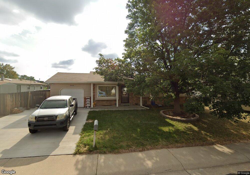
9458 Lou Dr Thornton, CO 80260
Estimated Value: $422,918 - $466,000
4
Beds
3
Baths
960
Sq Ft
$459/Sq Ft
Est. Value
About This Home
This home is located at 9458 Lou Dr, Thornton, CO 80260 and is currently estimated at $440,980, approximately $459 per square foot. 9458 Lou Dr is a home located in Adams County with nearby schools including North Mor Elementary School, Northglenn Middle School, and Northglenn High School.
Ownership History
Date
Name
Owned For
Owner Type
Purchase Details
Closed on
Aug 26, 2003
Sold by
Caswell Vernon L and Caswell Teri L
Bought by
Coleman James and Altman Paula
Current Estimated Value
Home Financials for this Owner
Home Financials are based on the most recent Mortgage that was taken out on this home.
Original Mortgage
$192,283
Outstanding Balance
$84,057
Interest Rate
5.87%
Mortgage Type
Unknown
Estimated Equity
$356,923
Create a Home Valuation Report for This Property
The Home Valuation Report is an in-depth analysis detailing your home's value as well as a comparison with similar homes in the area
Home Values in the Area
Average Home Value in this Area
Purchase History
| Date | Buyer | Sale Price | Title Company |
|---|---|---|---|
| Coleman James | $195,000 | Title America |
Source: Public Records
Mortgage History
| Date | Status | Borrower | Loan Amount |
|---|---|---|---|
| Open | Coleman James | $192,283 |
Source: Public Records
Tax History
| Year | Tax Paid | Tax Assessment Tax Assessment Total Assessment is a certain percentage of the fair market value that is determined by local assessors to be the total taxable value of land and additions on the property. | Land | Improvement |
|---|---|---|---|---|
| 2025 | $2,878 | $29,850 | $6,390 | $23,460 |
| 2024 | $2,878 | $27,440 | $5,880 | $21,560 |
| 2023 | $2,848 | $31,530 | $6,360 | $25,170 |
| 2022 | $2,697 | $24,480 | $5,700 | $18,780 |
| 2021 | $2,786 | $24,480 | $5,700 | $18,780 |
| 2020 | $2,682 | $24,040 | $5,860 | $18,180 |
| 2019 | $2,687 | $24,040 | $5,860 | $18,180 |
| 2018 | $2,152 | $18,700 | $5,900 | $12,800 |
| 2017 | $1,956 | $18,700 | $5,900 | $12,800 |
| 2016 | $1,660 | $15,450 | $3,260 | $12,190 |
| 2015 | $1,658 | $15,450 | $3,260 | $12,190 |
| 2014 | $1,394 | $12,630 | $2,950 | $9,680 |
Source: Public Records
Map
Nearby Homes
- 9423 Lou Dr
- 9465 Damon Dr
- 707 W 96th Ave Unit 2
- 9585 Damon Dr
- 9627 Huron St
- 9650 Huron St Unit 21
- 9669 Lou Dr
- 1024 W 97th Ave
- 302 Melody Dr
- 1187 W 95th Place
- 1201 W Thornton Pkwy Unit 223
- 1201 W Thornton Pkwy Unit 151
- 9162 Gale Blvd Unit 1
- 9781 Melody Dr
- 9845 Bruce Ln
- 9648 Lane St
- 9931 Clark Dr
- 9769 Croke Dr
- 9830 Croke Dr
- 9775 Croke Dr
Your Personal Tour Guide
Ask me questions while you tour the home.