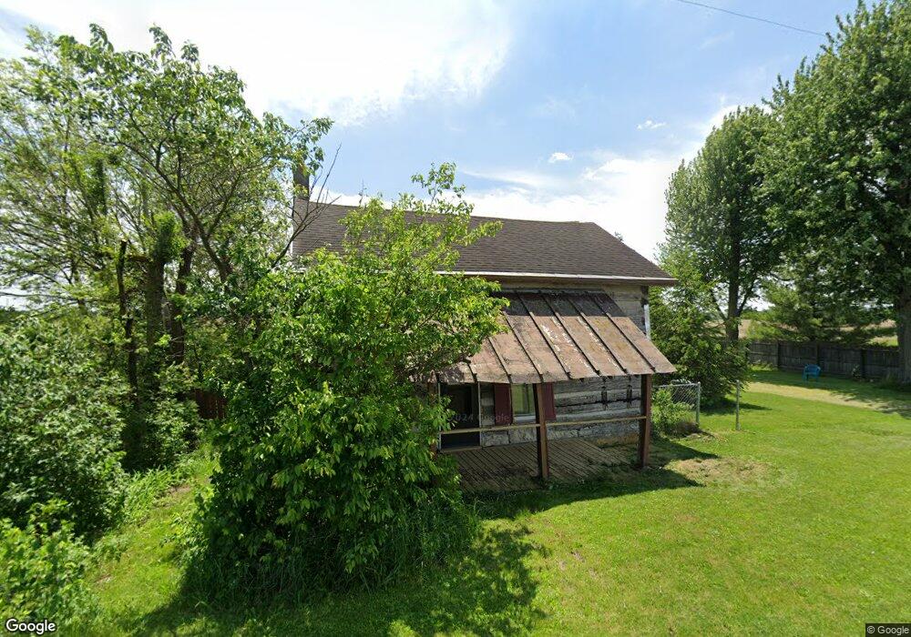
9459 Yount Rd Bradford, OH 45308
Estimated Value: $98,543 - $161,000
1
Bed
1
Bath
1,407
Sq Ft
$91/Sq Ft
Est. Value
About This Home
This home is located at 9459 Yount Rd, Bradford, OH 45308 and is currently estimated at $127,386, approximately $90 per square foot. 9459 Yount Rd is a home with nearby schools including Franklin Monroe Elementary School and Franklin Monroe High School.
Ownership History
Date
Name
Owned For
Owner Type
Purchase Details
Closed on
Apr 15, 1999
Sold by
Turner Shane A
Bought by
Watts James G and Watts Mildred
Current Estimated Value
Home Financials for this Owner
Home Financials are based on the most recent Mortgage that was taken out on this home.
Original Mortgage
$30,000
Interest Rate
7.1%
Mortgage Type
New Conventional
Purchase Details
Closed on
Aug 5, 1996
Sold by
Cox William B
Bought by
Turner Shane E and Bowman Cindy L
Home Financials for this Owner
Home Financials are based on the most recent Mortgage that was taken out on this home.
Original Mortgage
$32,300
Interest Rate
8.33%
Mortgage Type
New Conventional
Create a Home Valuation Report for This Property
The Home Valuation Report is an in-depth analysis detailing your home's value as well as a comparison with similar homes in the area
Home Values in the Area
Average Home Value in this Area
Purchase History
| Date | Buyer | Sale Price | Title Company |
|---|---|---|---|
| Watts James G | $60,000 | -- | |
| Turner Shane E | $38,000 | -- |
Source: Public Records
Mortgage History
| Date | Status | Borrower | Loan Amount |
|---|---|---|---|
| Closed | Watts James G | $30,000 | |
| Previous Owner | Turner Shane E | $32,300 |
Source: Public Records
Tax History Compared to Growth
Tax History
| Year | Tax Paid | Tax Assessment Tax Assessment Total Assessment is a certain percentage of the fair market value that is determined by local assessors to be the total taxable value of land and additions on the property. | Land | Improvement |
|---|---|---|---|---|
| 2024 | $377 | $21,770 | $3,800 | $17,970 |
| 2023 | $397 | $21,770 | $3,800 | $17,970 |
| 2022 | $271 | $16,330 | $3,170 | $13,160 |
| 2021 | $271 | $16,330 | $3,170 | $13,160 |
| 2020 | $272 | $16,330 | $3,170 | $13,160 |
| 2019 | $204 | $14,620 | $3,170 | $11,450 |
| 2018 | $208 | $14,620 | $3,170 | $11,450 |
| 2017 | $131 | $14,620 | $3,170 | $11,450 |
| 2016 | $132 | $12,750 | $3,170 | $9,580 |
| 2015 | $132 | $12,750 | $3,170 | $9,580 |
| 2014 | $133 | $12,750 | $3,170 | $9,580 |
| 2013 | $106 | $11,720 | $3,010 | $8,710 |
Source: Public Records
Map
Nearby Homes
- 6791 Smith Rd
- 0 N Furlong Rd
- 6417 Gettysburg Pitsburg Rd
- 6985 Smith Road 1
- 8988 State Route 571
- 209 Adams St
- 9983 New Harrison Bradford Rd
- 9983 New Harrison-Bradford Rd
- 211 W Elm St
- 231 E Vine St
- 206 W Elm St
- 142 W James St
- 427 S Miami Ave
- 324 E Elm St
- 7959 State Route 571
- 219 E Church St
- 235 E Church St
- 0 S State Route 721 Unit 1040224
- 0 S State Route 721 Unit 938414
- 320 E Church St
- 9429 Yount Rd
- 9492 Yount Rd
- 9493 Yount Rd
- 5516 Red River West Grove Rd
- 0 Red River-West Grove Rd Unit 534884
- 5458 Red River West Grove Rd
- 9407 Yount Rd
- 5548 Red River West Grove Rd
- 5548 Red River West Grove Rd
- 5578 Red River West Grove Rd
- 9341 Yount Rd
- 9585 Yount Rd
- 9308 Yount Rd
- 5359 Red River West Grove Rd
- 5674 Red River West Grove Rd
- 9600 Earnest Rd
- 5289 Red River West Grove Rd
- 9564 Earnest Rd
- 5266 Red River West Grove Rd
- 0 Yount Rd