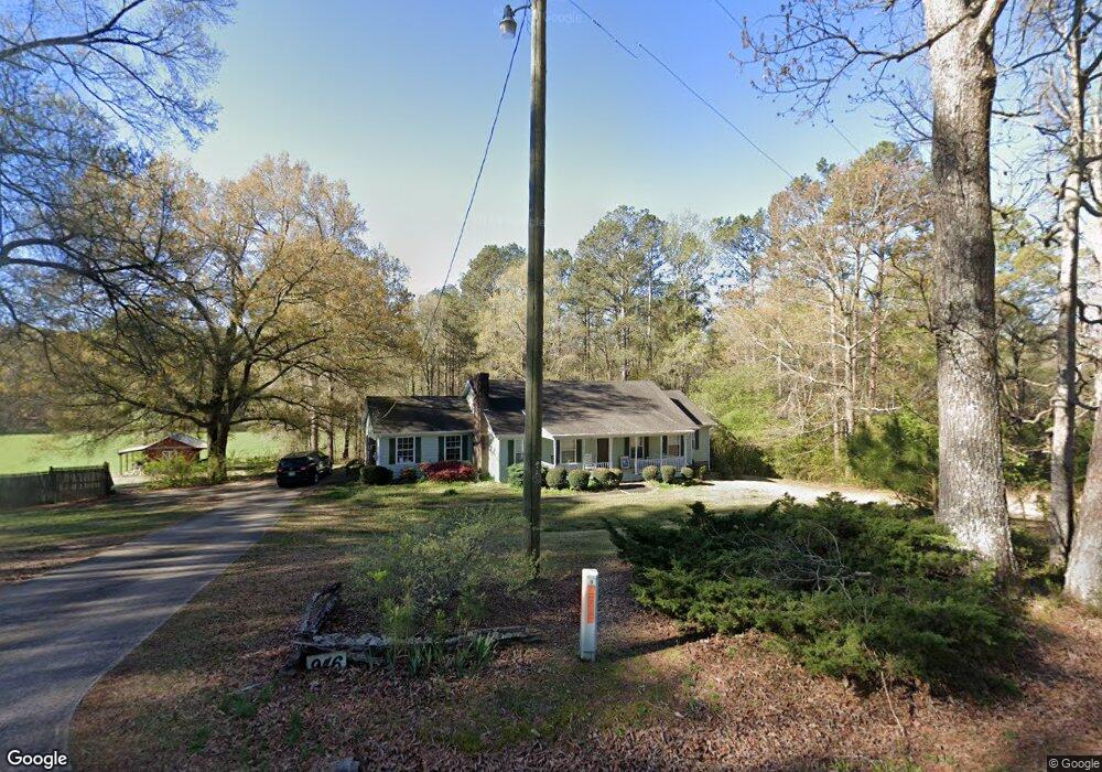
946 Cut Log Rd Cedartown, GA 30125
Estimated Value: $272,000 - $423,000
3
Beds
2
Baths
2,110
Sq Ft
$155/Sq Ft
Est. Value
About This Home
This home is located at 946 Cut Log Rd, Cedartown, GA 30125 and is currently estimated at $327,866, approximately $155 per square foot. 946 Cut Log Rd is a home located in Polk County.
Ownership History
Date
Name
Owned For
Owner Type
Purchase Details
Closed on
Feb 11, 2008
Sold by
Rice George Steven
Bought by
Hannon Gerald E and Hannon Linda E
Current Estimated Value
Purchase Details
Closed on
Jul 28, 2005
Sold by
Ledbetter Clifford H
Bought by
Rice George Steven
Home Financials for this Owner
Home Financials are based on the most recent Mortgage that was taken out on this home.
Original Mortgage
$133,898
Interest Rate
5.48%
Mortgage Type
FHA
Purchase Details
Closed on
Sep 24, 1997
Sold by
Benefield James M
Bought by
Ledbetter Clifford H and Ledbetter Linda M
Purchase Details
Closed on
May 31, 1991
Sold by
J H Benefield & Sons
Bought by
Benefield James M
Create a Home Valuation Report for This Property
The Home Valuation Report is an in-depth analysis detailing your home's value as well as a comparison with similar homes in the area
Home Values in the Area
Average Home Value in this Area
Purchase History
| Date | Buyer | Sale Price | Title Company |
|---|---|---|---|
| Hannon Gerald E | $155,000 | -- | |
| Rice George Steven | $136,000 | -- | |
| Ledbetter Clifford H | $96,000 | -- | |
| Benefield James M | -- | -- | |
| Benefield James M | -- | -- |
Source: Public Records
Mortgage History
| Date | Status | Borrower | Loan Amount |
|---|---|---|---|
| Previous Owner | Rice George Steven | $133,898 |
Source: Public Records
Tax History Compared to Growth
Tax History
| Year | Tax Paid | Tax Assessment Tax Assessment Total Assessment is a certain percentage of the fair market value that is determined by local assessors to be the total taxable value of land and additions on the property. | Land | Improvement |
|---|---|---|---|---|
| 2024 | $1,515 | $104,476 | $3,210 | $101,266 |
| 2023 | $868 | $68,572 | $3,210 | $65,362 |
| 2022 | $630 | $58,533 | $2,140 | $56,393 |
| 2021 | $638 | $58,533 | $2,140 | $56,393 |
| 2020 | $1,087 | $58,533 | $2,140 | $56,393 |
| 2019 | $941 | $48,369 | $2,140 | $46,229 |
| 2018 | $888 | $45,580 | $2,140 | $43,440 |
| 2017 | $873 | $45,580 | $2,140 | $43,440 |
| 2016 | $897 | $46,458 | $3,018 | $43,440 |
| 2015 | $895 | $46,358 | $3,018 | $43,339 |
| 2014 | $900 | $46,358 | $3,018 | $43,339 |
Source: Public Records
Map
Nearby Homes
- 0 Colquitt Rd Unit 25175705
- 0 Colquitt Rd Unit 7661475
- 0 Colquitt Rd Unit 10623944
- 1170 Lake Creek Rd
- 2705 Collard Valley Rd
- TRACT4 Drummond Rd
- Tract2 Drummond Rd
- 110 Mulberry Ln
- 573 Relay Rd SE
- 2129 Lake Creek Rd
- 565 Raiford Rd
- 2944 Old Collard Valley Rd
- 0 Stewart Rd
- 0 Benefield Rd Unit 7479734
- 0 Benefield Rd Unit 10405501
- 0 Richard Pullen Rd Unit 10577442
- 0 Richard Pullen Rd Unit 7626794
- 31 Meadow Lakes Terrace
- 1522 Collard Valley Rd
- 158 Woodsmoke Rd
- 1098 Cut Log Rd
- 1057 Cut Log Rd
- 955 Cut Log Rd
- 1001 Cut Log Rd
- 951 Wyatt Rd
- 108 Collard Valley Church Loop
- 194 Colquitt Rd
- 70 Collard Valley Church Loop
- 70 Collard Valley Church Rd
- 70 Collard Valley Rd
- 9 Colquitt Rd
- 957 Wyatt Rd
- 829 Cut Log Rd
- 120 Colquitt Rd
- 178 Colquitt Rd
- 119 Pleasant Valley Rd
- 0 Pleasant Valley Rd
- 1141 Wyatt Rd
- 119 Colquitt Rd
- 182 Colquitt Rd