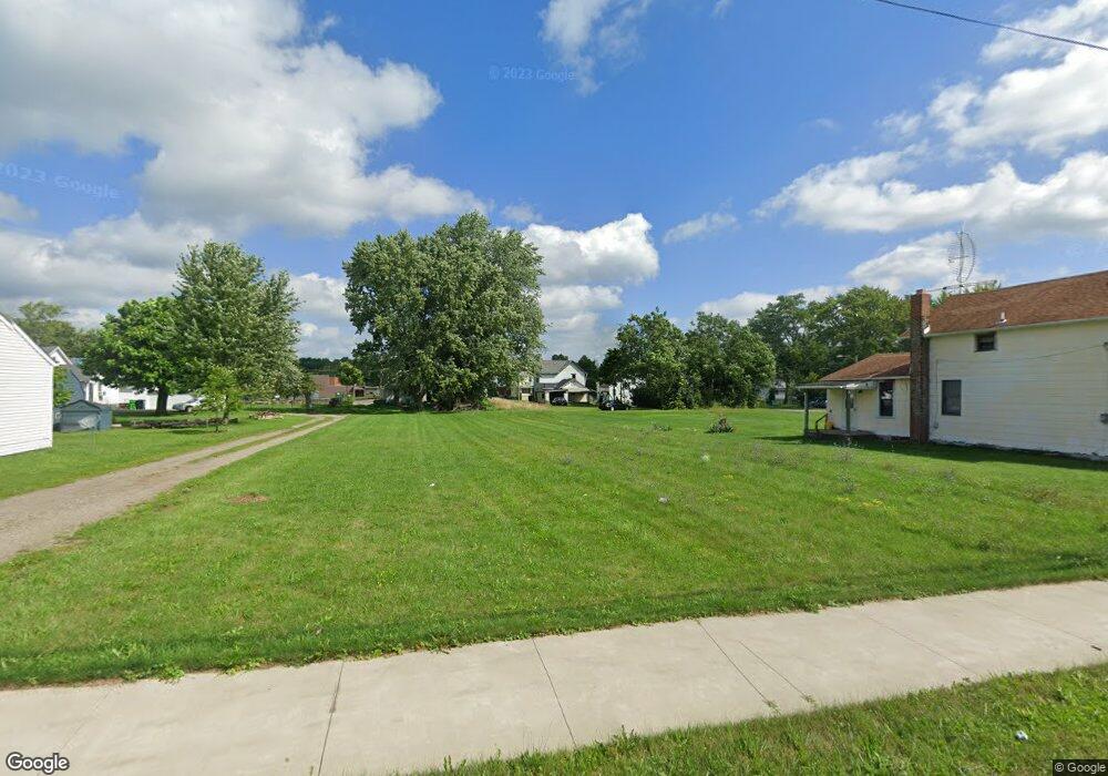
946 E Patterson St Alliance, OH 44601
Estimated Value: $89,000 - $158,000
3
Beds
2
Baths
1,516
Sq Ft
$81/Sq Ft
Est. Value
About This Home
This home is located at 946 E Patterson St, Alliance, OH 44601 and is currently estimated at $123,333, approximately $81 per square foot. 946 E Patterson St is a home located in Stark County with nearby schools including Alliance Early Learning School, Alliance Intermediate School at Northside, and Alliance Middle School.
Ownership History
Date
Name
Owned For
Owner Type
Purchase Details
Closed on
Apr 17, 2023
Sold by
Stark County Land Reutilization Corporat
Bought by
Alliance Area Habitat For Humanity
Current Estimated Value
Purchase Details
Closed on
Dec 17, 2018
Sold by
Stark County Land Reutilization Corporat
Bought by
Stark County Regional Planning Commision
Purchase Details
Closed on
Aug 24, 2017
Sold by
Andrews Linda
Bought by
Stark County Land Reutilization Corporat
Create a Home Valuation Report for This Property
The Home Valuation Report is an in-depth analysis detailing your home's value as well as a comparison with similar homes in the area
Home Values in the Area
Average Home Value in this Area
Purchase History
| Date | Buyer | Sale Price | Title Company |
|---|---|---|---|
| Alliance Area Habitat For Humanity | -- | None Listed On Document | |
| Stark County Regional Planning Commision | -- | None Available | |
| Stark County Land Reutilization Corporat | -- | None Available |
Source: Public Records
Tax History
| Year | Tax Paid | Tax Assessment Tax Assessment Total Assessment is a certain percentage of the fair market value that is determined by local assessors to be the total taxable value of land and additions on the property. | Land | Improvement |
|---|---|---|---|---|
| 2025 | $36 | -- | -- | -- |
| 2024 | -- | $1,610 | $1,610 | -- |
| 2023 | $0 | $280 | $280 | $0 |
| 2022 | $303 | $280 | $280 | $0 |
| 2021 | $303 | $280 | $280 | $0 |
| 2019 | $160 | $7,040 | $460 | $6,580 |
| 2018 | $289 | $7,040 | $460 | $6,580 |
| 2017 | $0 | $6,380 | $390 | $5,990 |
| 2016 | $2,862 | $6,380 | $390 | $5,990 |
| 2015 | $306 | $6,380 | $390 | $5,990 |
| 2014 | $364 | $3,500 | $630 | $2,870 |
| 2013 | $84 | $3,500 | $630 | $2,870 |
Source: Public Records
Map
Nearby Homes
- 847 E Patterson St
- 1015 Reed St
- 1025 Reed St
- 1245 Jersey St
- 90 N Mahoning Ave
- 361 E Main St
- 442 S Liberty Ave
- V/L S Freedom Ave
- 955 E Summit St
- 710 N Freedom Ave
- 62 E Market St
- 452 E Summit St
- 22681 Lexington Rd
- 849 Walnut Ave
- 505 N Union Ave
- 726 S Arch Ave
- 22862 Norman Ave
- 935 S Morgan Ave
- 15832 Waverly St NE
- 000 Lexington Rd
- 958 E Patterson St
- 942 E Patterson St
- 926 E Patterson St
- 213 Franklin Ave
- 1020 E Patterson St
- 233 Franklin Ave
- 916 E Patterson St
- 245 Franklin Ave
- 1026 E Patterson St
- 937 Noble St
- 921 E Patterson St
- 931 Noble St
- 257 Franklin Ave
- 951 Noble St
- 130 Wood Ave
- 957 Noble St
- 911 E Patterson St
- 868 E Patterson St
- xx Kintz Woods Dr
- 1001 Noble St
Your Personal Tour Guide
Ask me questions while you tour the home.