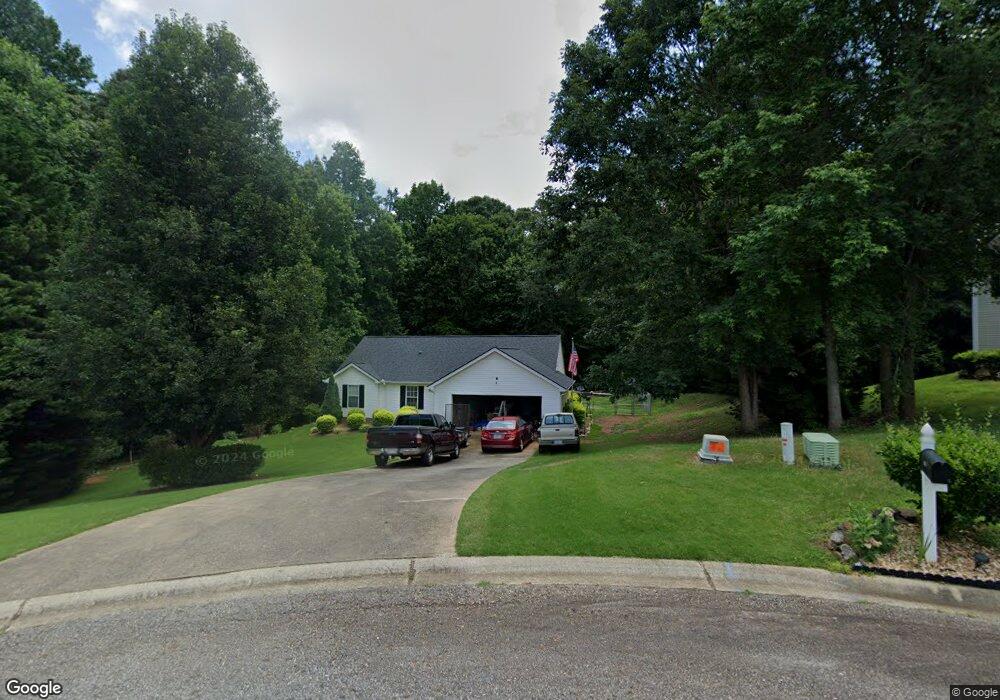
946 Nell Cir Winder, GA 30680
Estimated Value: $274,471 - $303,000
3
Beds
2
Baths
1,296
Sq Ft
$226/Sq Ft
Est. Value
About This Home
This home is located at 946 Nell Cir, Winder, GA 30680 and is currently estimated at $292,868, approximately $225 per square foot. 946 Nell Cir is a home located in Barrow County with nearby schools including Holsenbeck Elementary School, Bear Creek Middle School, and Winder-Barrow High School.
Ownership History
Date
Name
Owned For
Owner Type
Purchase Details
Closed on
Oct 16, 2003
Sold by
Alecia F Robertson Inc
Bought by
Crowe Becky S
Current Estimated Value
Home Financials for this Owner
Home Financials are based on the most recent Mortgage that was taken out on this home.
Original Mortgage
$103,450
Interest Rate
6.45%
Mortgage Type
New Conventional
Purchase Details
Closed on
Jul 15, 2003
Sold by
Cook'S Landing Llc
Bought by
Alecia F Robertson Inc
Purchase Details
Closed on
Aug 3, 2001
Bought by
Cook'S Landing Llc
Create a Home Valuation Report for This Property
The Home Valuation Report is an in-depth analysis detailing your home's value as well as a comparison with similar homes in the area
Home Values in the Area
Average Home Value in this Area
Purchase History
| Date | Buyer | Sale Price | Title Company |
|---|---|---|---|
| Crowe Becky S | $108,900 | -- | |
| Crowe Becky S | $108,900 | -- | |
| Alecia F Robertson Inc | $28,500 | -- | |
| Cook'S Landing Llc | -- | -- |
Source: Public Records
Mortgage History
| Date | Status | Borrower | Loan Amount |
|---|---|---|---|
| Previous Owner | Crowe Becky S | $103,450 |
Source: Public Records
Tax History Compared to Growth
Tax History
| Year | Tax Paid | Tax Assessment Tax Assessment Total Assessment is a certain percentage of the fair market value that is determined by local assessors to be the total taxable value of land and additions on the property. | Land | Improvement |
|---|---|---|---|---|
| 2024 | $2,337 | $93,903 | $24,000 | $69,903 |
| 2023 | $1,793 | $88,478 | $24,000 | $64,478 |
| 2022 | $1,930 | $67,194 | $18,000 | $49,194 |
| 2021 | $1,720 | $56,782 | $16,000 | $40,782 |
| 2020 | $1,720 | $56,782 | $16,000 | $40,782 |
| 2019 | $1,644 | $53,416 | $16,000 | $37,416 |
| 2018 | $1,459 | $48,051 | $14,000 | $34,051 |
| 2017 | $1,018 | $34,970 | $10,000 | $24,970 |
| 2016 | $1,034 | $35,249 | $10,000 | $25,249 |
| 2015 | $1,047 | $35,528 | $10,000 | $25,528 |
| 2014 | $931 | $31,687 | $5,880 | $25,807 |
| 2013 | -- | $30,428 | $5,880 | $24,548 |
Source: Public Records
Map
Nearby Homes
- 1212 Highway 211 NE
- 1226 Highway 211 NE
- 1206 Corkybrooke Ln
- 1553 Shoal Creek Dr
- 1556 Shoal Creek Dr
- 388 Kay Dr Unit 1
- 917 Justin Dr Unit 3
- 508 Pleasant Hill Church Rd NE
- 212 Rainbow Ln
- 0 Hancock Bridge Rd Unit 10535063
- 330 Anchors Way
- 63 Delightful Way Unit 1
- 385 Finch Landing Rd
- 162 Delightful Way Unit 28
- 867 Windward Rd
- 203 Delightful Way Unit 5
- 253 Delightful Way Unit 6
- 1431 Solomon Dr
- 281 Delightful Way Unit 7
- 230 Delightful Way Unit 23
- 945 Nell Cir
- 943 Nell Cir Unit 1
- 944 Nell Cir Unit 32
- 944 Nell Cir
- 1290 Walnut Dr
- 941 Nell Cir Unit 36
- 941 Nell Cir
- 940 Nell Cir
- 1292 Walnut Dr
- 858 Jay Bird Ln
- 856 Jay Bird Ln Unit 39
- 856 Jay Bird Ln
- 566 Kristin Ln Unit 1
- 564 Kristin Ln
- 568 Kristin Ln
- 1288 Walnut Dr
- 601 Anns Way
- 609 Anns Way
- 854 Jay Bird Ln
- 570 Kristin Ln