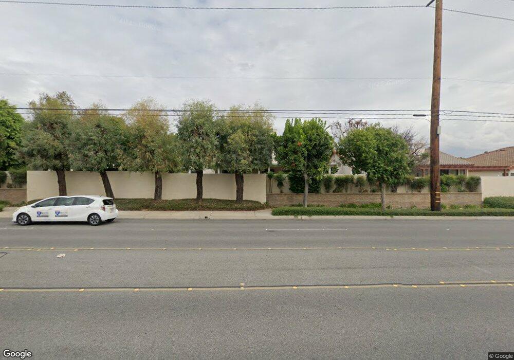
946 Via Serana Upland, CA 91784
Estimated Value: $758,000 - $841,000
3
Beds
2
Baths
1,879
Sq Ft
$427/Sq Ft
Est. Value
About This Home
This home is located at 946 Via Serana, Upland, CA 91784 and is currently estimated at $803,019, approximately $427 per square foot. 946 Via Serana is a home located in San Bernardino County with nearby schools including Pepper Tree Elementary, Pioneer Junior High School, and Upland High School.
Ownership History
Date
Name
Owned For
Owner Type
Purchase Details
Closed on
Jun 3, 2017
Sold by
Muelchi Colleen
Bought by
Muelchi Colleen Eugenia and The Colleen Eugenia Muelchi Re
Current Estimated Value
Purchase Details
Closed on
Feb 15, 1996
Sold by
Middleton Roland
Bought by
Muelchi Colleen
Home Financials for this Owner
Home Financials are based on the most recent Mortgage that was taken out on this home.
Original Mortgage
$155,000
Interest Rate
7.34%
Create a Home Valuation Report for This Property
The Home Valuation Report is an in-depth analysis detailing your home's value as well as a comparison with similar homes in the area
Home Values in the Area
Average Home Value in this Area
Purchase History
We collect this data history from publicly available records. To have your information removed, we recommend requesting removal directly through your county’s website.
| Date | Buyer | Sale Price | Title Company |
|---|---|---|---|
| Muelchi Colleen Eugenia | -- | None Available | |
| Muelchi Colleen | $215,000 | First American Title Ins Co |
Source: Public Records
Mortgage History
We collect this data history from publicly available records. To have your information removed, we recommend requesting removal directly through your county’s website.
| Date | Status | Borrower | Loan Amount |
|---|---|---|---|
| Previous Owner | Muelchi Colleen | $155,000 |
Source: Public Records
Tax History
| Year | Tax Paid | Tax Assessment Tax Assessment Total Assessment is a certain percentage of the fair market value that is determined by local assessors to be the total taxable value of land and additions on the property. | Land | Improvement |
|---|---|---|---|---|
| 2025 | $3,958 | $357,201 | $89,718 | $267,483 |
| 2024 | $3,831 | $350,197 | $87,959 | $262,238 |
| 2023 | $3,772 | $343,330 | $86,234 | $257,096 |
| 2022 | $3,689 | $336,598 | $84,543 | $252,055 |
| 2021 | $3,681 | $329,998 | $82,885 | $247,113 |
| 2020 | $3,581 | $326,614 | $82,035 | $244,579 |
| 2019 | $3,568 | $320,209 | $80,426 | $239,783 |
| 2018 | $3,481 | $313,930 | $78,849 | $235,081 |
| 2017 | $3,379 | $307,775 | $77,303 | $230,472 |
| 2016 | $3,184 | $301,740 | $75,787 | $225,953 |
| 2015 | $3,111 | $297,208 | $74,649 | $222,559 |
| 2014 | $3,029 | $291,386 | $73,187 | $218,199 |
Source: Public Records
Map
Nearby Homes
- 888 Via Maria
- 1031 W Patrick St
- 1669 N San Antonio Ave
- 1623 N Vallejo Way
- 1128 W Aster St
- 1613 Erin Ave
- 1489 N Mulberry Ave
- 1693 N Mountain Ave Unit D
- 1631 Carmel Cir E
- 1696 N Redding Way
- 276 Grant St
- 1225 Tamarisk Cir
- 1560 Carnation Way
- 1254 Tamarisk Cir
- 1635 Carmel Cir W
- 1631 Carmel Cir W
- 1644 Carmel Cir W
- 1672 Carmel Cir W
- 1695 N Palm Ave
- 928 W Buffington St
Your Personal Tour Guide
Ask me questions while you tour the home.