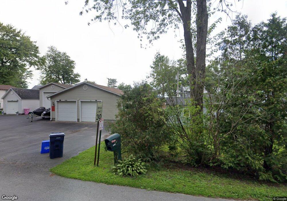
9461 Lewis Point Rd Canastota, NY 13032
Estimated Value: $504,000 - $677,000
4
Beds
2
Baths
1,810
Sq Ft
$311/Sq Ft
Est. Value
About This Home
This home is located at 9461 Lewis Point Rd, Canastota, NY 13032 and is currently estimated at $562,481, approximately $310 per square foot. 9461 Lewis Point Rd is a home located in Madison County with nearby schools including Peterboro Street Elementary School, Roberts Street Middle School, and South Side Elementary School.
Ownership History
Date
Name
Owned For
Owner Type
Purchase Details
Closed on
Oct 6, 2011
Sold by
French James A
Bought by
Kozar Albert
Current Estimated Value
Home Financials for this Owner
Home Financials are based on the most recent Mortgage that was taken out on this home.
Original Mortgage
$220,000
Outstanding Balance
$147,260
Interest Rate
4.25%
Mortgage Type
Purchase Money Mortgage
Estimated Equity
$415,221
Purchase Details
Closed on
May 22, 2002
Purchase Details
Closed on
Jul 15, 1997
Create a Home Valuation Report for This Property
The Home Valuation Report is an in-depth analysis detailing your home's value as well as a comparison with similar homes in the area
Home Values in the Area
Average Home Value in this Area
Purchase History
| Date | Buyer | Sale Price | Title Company |
|---|---|---|---|
| Kozar Albert | $275,000 | Neil Germain | |
| -- | -- | -- | |
| -- | $50,000 | -- |
Source: Public Records
Mortgage History
| Date | Status | Borrower | Loan Amount |
|---|---|---|---|
| Open | Kozar Albert | $220,000 |
Source: Public Records
Tax History
| Year | Tax Paid | Tax Assessment Tax Assessment Total Assessment is a certain percentage of the fair market value that is determined by local assessors to be the total taxable value of land and additions on the property. | Land | Improvement |
|---|---|---|---|---|
| 2025 | $11,085 | $272,000 | $75,900 | $196,100 |
| 2024 | $11,566 | $272,000 | $75,900 | $196,100 |
| 2023 | $11,444 | $272,000 | $75,900 | $196,100 |
| 2022 | $10,932 | $272,000 | $75,900 | $196,100 |
| 2021 | $10,918 | $272,000 | $75,900 | $196,100 |
| 2020 | $10,706 | $272,000 | $75,900 | $196,100 |
| 2019 | -- | $272,000 | $75,900 | $196,100 |
| 2018 | $10,229 | $272,000 | $75,900 | $196,100 |
| 2017 | $10,002 | $272,000 | $75,900 | $196,100 |
| 2016 | $9,890 | $272,000 | $75,900 | $196,100 |
Source: Public Records
Map
Nearby Homes
- 9181 Old Orchard Rd
- 3471 Cleveland Place
- 9176 Arthur Jenkins Rd
- 9162 Arthur Jenkins Rd
- 9106 Arthur Jenkins Rd
- 3330 State Route 31
- 3605 Route 31
- 3006 New York 31
- 0 Stephens Rd Unit S1675860
- 9091 Beach Rd
- 0 Eddy Rd Unit S1633771
- 6781 Miller Rd
- 2970 Whitelaw Rd W
- 8935 Eddy Rd
- 2451 State Route 31
- 2455 Coulter Cove Rd
- 200 Spencer Ave
- 2408 Lake Rd
- 228 8th Ave
- 8891 Oneida Valley Rd
- 9459 Lewis Point Rd
- 9609 Lewis Point Rd
- 9455 Lewis Point Rd
- 9607 Lewis Point Rd
- 9465 Lewis Point Rd
- 9453 Lewis Point Rd
- 9603 Lewis Point Rd
- 9469 Lewis Point Rd
- 9449 Lewis Point Rd
- 9599 Lewis Point Rd
- 9447 Lewis Point Rd
- 9595 Lewis Point Rd
- 9443 Lewis Point Rd
- 9439 Lewis Point Rd
- 9436 Lewis Point Rd
- 9663 Lewis Point Rd
- 9427 Lewis Point Rd
- 9423 Lewis Point Rd
- 9635 Lewis Point Rd
- 9417 Lewis Point Rd
Your Personal Tour Guide
Ask me questions while you tour the home.