9463 Reed Rd Denton, MD 21629
Estimated Value: $544,000 - $842,000
Studio
2
Baths
2,805
Sq Ft
$243/Sq Ft
Est. Value
About This Home
This home is located at 9463 Reed Rd, Denton, MD 21629 and is currently estimated at $681,462, approximately $242 per square foot. 9463 Reed Rd is a home located in Caroline County with nearby schools including Ridgely Elementary School, Lockerman Middle School, and North Caroline High School.
Ownership History
Date
Name
Owned For
Owner Type
Purchase Details
Closed on
Jul 26, 1999
Sold by
Parsonson Charles E
Bought by
Fisher Fisher J and Fisher Kimberly
Current Estimated Value
Purchase Details
Closed on
Aug 3, 1998
Sold by
Teitt James M
Bought by
Parsonson Charles E and Parsonson Kevin E
Purchase Details
Closed on
Jan 26, 1990
Sold by
Ackerman John Howard
Bought by
Teitt James M
Home Financials for this Owner
Home Financials are based on the most recent Mortgage that was taken out on this home.
Original Mortgage
$126,800
Interest Rate
10.05%
Create a Home Valuation Report for This Property
The Home Valuation Report is an in-depth analysis detailing your home's value as well as a comparison with similar homes in the area
Home Values in the Area
Average Home Value in this Area
Purchase History
| Date | Buyer | Sale Price | Title Company |
|---|---|---|---|
| Fisher Fisher J | $240,000 | -- | |
| Parsonson Charles E | $238,300 | -- | |
| Teitt James M | $245,000 | -- |
Source: Public Records
Mortgage History
| Date | Status | Borrower | Loan Amount |
|---|---|---|---|
| Previous Owner | Teitt James M | $126,800 |
Source: Public Records
Tax History
| Year | Tax Paid | Tax Assessment Tax Assessment Total Assessment is a certain percentage of the fair market value that is determined by local assessors to be the total taxable value of land and additions on the property. | Land | Improvement |
|---|---|---|---|---|
| 2025 | $4,713 | $455,400 | $76,700 | $378,700 |
| 2024 | $4,713 | $429,233 | $0 | $0 |
| 2023 | $4,442 | $403,067 | $0 | $0 |
| 2022 | $4,176 | $376,900 | $76,700 | $300,200 |
| 2020 | $544 | $358,567 | $0 | $0 |
| 2019 | $3,875 | $349,400 | $69,700 | $279,700 |
| 2018 | $3,815 | $349,400 | $69,700 | $279,700 |
| 2017 | $4,224 | $349,400 | $0 | $0 |
| 2016 | -- | $381,300 | $0 | $0 |
| 2015 | -- | $381,300 | $0 | $0 |
| 2014 | $4,305 | $381,300 | $0 | $0 |
Source: Public Records
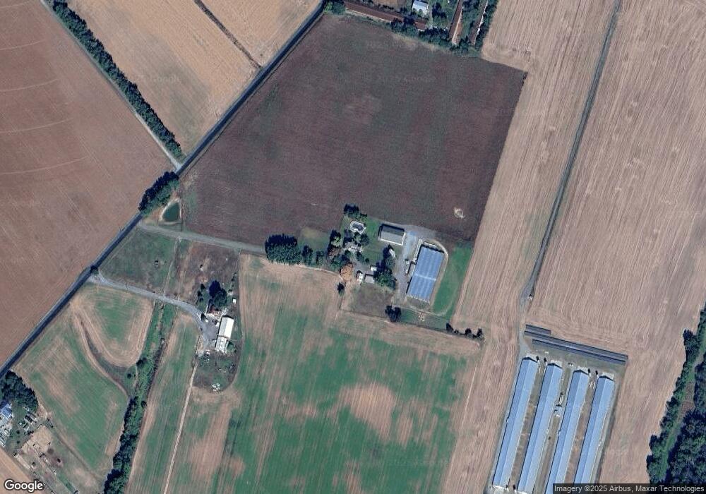
Map
Nearby Homes
- 0 Quail Ct Unit MDCM2006644
- 0 Quail Ct Unit MDCM2006742
- 8578 Tuckahoe Rd
- 24276 Asbury Dr
- 23296 Wilder Way
- 24324 Asbury Dr
- 0 Laurel Ln
- 33293 Matthewstown Rd
- 32391 Geib Rd
- 23267 Shady Oak Ln
- 11142 Log Cabin Rd
- 24764 Pealiquor Rd
- 24749 Woods Dr
- 32013 Tuckahoe Ave
- 24872 Meeting House Rd
- 300 S 1st St
- 22464 Hillsboro Rd
- 7837 Shore Dr
- 322 Deep Shore Rd
- 318 Carter Ave
Your Personal Tour Guide
Ask me questions while you tour the home.