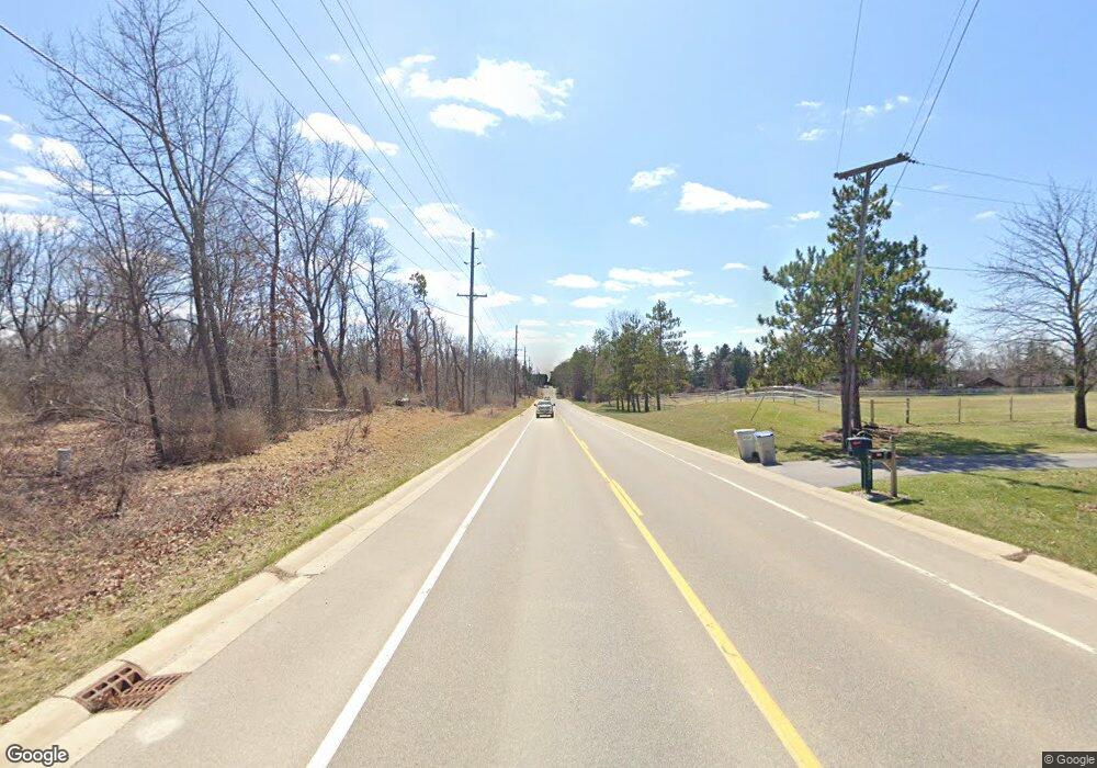
9465 N Rushton Rd South Lyon, MI 48178
Estimated Value: $438,000 - $532,893
--
Bed
--
Bath
2,067
Sq Ft
$236/Sq Ft
Est. Value
About This Home
This home is located at 9465 N Rushton Rd, South Lyon, MI 48178 and is currently estimated at $488,223, approximately $236 per square foot. 9465 N Rushton Rd is a home located in Livingston County with nearby schools including William A. Brummer Elementary School, Centennial Middle School, and South Lyon High School.
Ownership History
Date
Name
Owned For
Owner Type
Purchase Details
Closed on
Jun 20, 2005
Sold by
Archey Katherine Ann and Mccrary Katherine A
Bought by
Mccrary Matthew H and Mccrary Katherine A
Current Estimated Value
Home Financials for this Owner
Home Financials are based on the most recent Mortgage that was taken out on this home.
Original Mortgage
$372,000
Interest Rate
5.87%
Mortgage Type
Construction
Purchase Details
Closed on
Aug 24, 2001
Sold by
Archey Dennis Charles
Bought by
Archey Katherine Ann
Create a Home Valuation Report for This Property
The Home Valuation Report is an in-depth analysis detailing your home's value as well as a comparison with similar homes in the area
Home Values in the Area
Average Home Value in this Area
Purchase History
| Date | Buyer | Sale Price | Title Company |
|---|---|---|---|
| Mccrary Matthew H | -- | -- | |
| Archey Katherine Ann | -- | Philip F Greco Title Company |
Source: Public Records
Mortgage History
| Date | Status | Borrower | Loan Amount |
|---|---|---|---|
| Closed | Mccrary Matthew H | $372,000 |
Source: Public Records
Tax History Compared to Growth
Tax History
| Year | Tax Paid | Tax Assessment Tax Assessment Total Assessment is a certain percentage of the fair market value that is determined by local assessors to be the total taxable value of land and additions on the property. | Land | Improvement |
|---|---|---|---|---|
| 2025 | $4,371 | $235,300 | $0 | $0 |
| 2024 | $2,944 | $222,500 | $0 | $0 |
| 2023 | $2,808 | $214,300 | $0 | $0 |
| 2022 | $3,551 | $156,700 | $0 | $0 |
| 2021 | $3,551 | $189,400 | $0 | $0 |
| 2020 | $3,551 | $168,700 | $0 | $0 |
| 2019 | $3,586 | $156,700 | $0 | $0 |
| 2018 | $3,537 | $158,200 | $0 | $0 |
| 2017 | $3,593 | $158,800 | $0 | $0 |
| 2016 | $3,645 | $146,200 | $0 | $0 |
| 2014 | $3,310 | $118,100 | $0 | $0 |
| 2012 | $3,310 | $110,900 | $0 | $0 |
Source: Public Records
Map
Nearby Homes
- 51 Deanna Kay Ct Unit 51
- 50 Deanna Kay Ct Unit 50
- 12459 Janes Landing Unit 41
- 25 Loretta Ln Unit 25
- 48 Loretta Ln Unit 48
- 28 Loretta Ln Unit 28
- 47 Loretta Ln Unit 47
- 64 Loretta Ln Unit 64
- 37 Janes Landing Unit 37
- 9870 Cambridge Ct Unit 2
- 9931 Loretta Ln
- 12192 Doane Rd
- 12421 Cambridge Blvd Unit 4
- 9920 Cambridge Ct
- 12485 Cambridge Blvd Unit 2
- 12493 Cambridge Blvd Unit 44
- 11904 Moose Ridge Dr
- 12324 Nantucket Dr Unit 1
- 12518 Clover Ln
- 12088 Pinebrook Ln
- 9491 N Rushton Rd
- 12530 Cedar View Ln
- 12548 Cedar View Ln Unit 20
- 12533 Woodpine Dr Unit 1
- 9413 N Rushton Rd
- 9519 N Rushton Rd
- 12551 Woodpine Dr Unit 2
- 12568 Woodpine Dr
- 12480 Shady Oak Dr
- 12560 Cedar View Ln Unit 31
- 12458 Shady Oak Dr
- 9555 N Rushton Rd
- 12569 Woodpine Dr
- 12586 Woodpine Dr Unit 23
- 9385 N Rushton Rd
- 12593 Cedar View Ln
- 12442 Shady Oak Dr
- 12584 Cedar View Ln Unit 18
- 12587 Woodpine Dr Unit 4
- 12481 Shady Oak Dr
