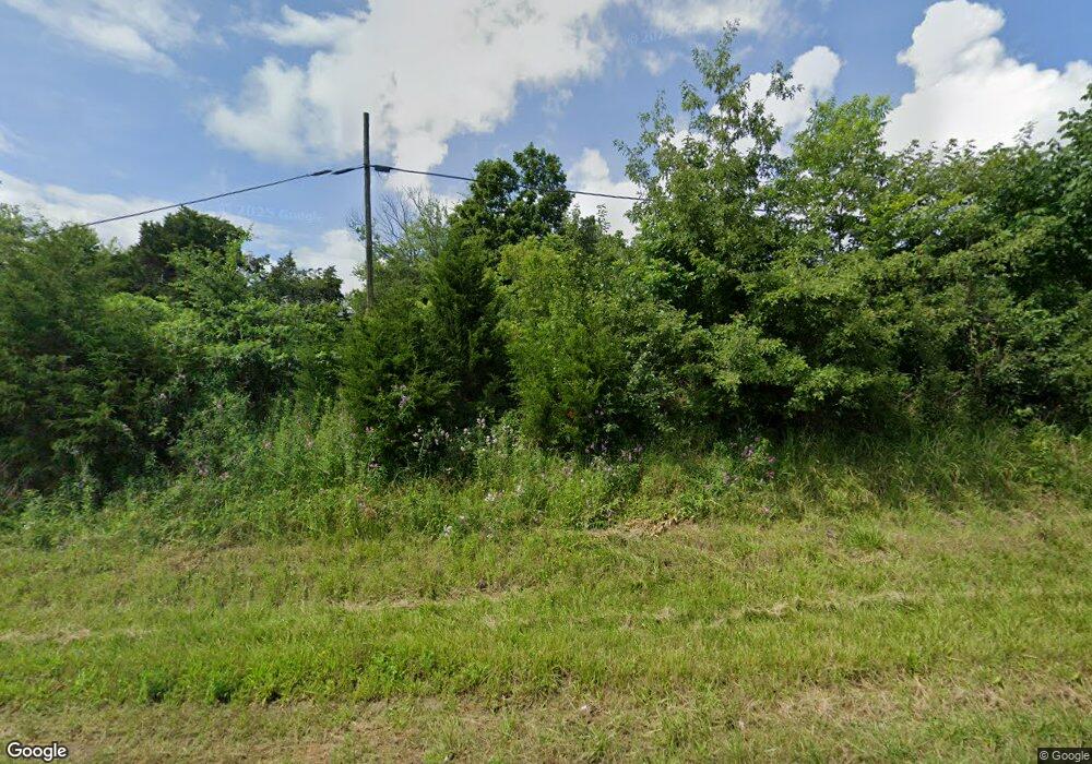
9465 State Route 146 E Dongola, IL 62926
Estimated Value: $133,000 - $224,000
2
Beds
1
Bath
750
Sq Ft
$222/Sq Ft
Est. Value
About This Home
This home is located at 9465 State Route 146 E, Dongola, IL 62926 and is currently estimated at $166,333, approximately $221 per square foot. 9465 State Route 146 E is a home located in Union County with nearby schools including Lincoln Elementary School, Davie Elementary School, and Anna Junior High School.
Ownership History
Date
Name
Owned For
Owner Type
Purchase Details
Closed on
Apr 9, 2021
Sold by
Clay Joshua D and Clay Angela D
Bought by
Clay Joshua D and Clay Angela D
Current Estimated Value
Home Financials for this Owner
Home Financials are based on the most recent Mortgage that was taken out on this home.
Original Mortgage
$62,000
Outstanding Balance
$51,996
Interest Rate
3.75%
Mortgage Type
New Conventional
Estimated Equity
$114,337
Purchase Details
Closed on
Jul 31, 2018
Sold by
Cornelius Isaiah and Cornelius Olivia
Bought by
Middeke Jerom E and Middeke Helen F
Create a Home Valuation Report for This Property
The Home Valuation Report is an in-depth analysis detailing your home's value as well as a comparison with similar homes in the area
Home Values in the Area
Average Home Value in this Area
Purchase History
| Date | Buyer | Sale Price | Title Company |
|---|---|---|---|
| Clay Joshua D | $6,000 | None Listed On Document | |
| Middeke Jerom E | -- | None Available |
Source: Public Records
Mortgage History
| Date | Status | Borrower | Loan Amount |
|---|---|---|---|
| Open | Clay Joshua D | $62,000 |
Source: Public Records
Tax History Compared to Growth
Tax History
| Year | Tax Paid | Tax Assessment Tax Assessment Total Assessment is a certain percentage of the fair market value that is determined by local assessors to be the total taxable value of land and additions on the property. | Land | Improvement |
|---|---|---|---|---|
| 2024 | $1,783 | $32,430 | $9,090 | $23,340 |
| 2023 | $1,565 | $30,030 | $8,420 | $21,610 |
| 2022 | $1,501 | $27,812 | $7,799 | $20,013 |
| 2021 | $1,589 | $22,639 | $4,822 | $17,817 |
| 2020 | $1,570 | $22,379 | $4,562 | $17,817 |
| 2019 | $1,536 | $22,149 | $4,332 | $17,817 |
| 2018 | $1,493 | $21,929 | $4,112 | $17,817 |
| 2016 | $1,432 | $20,660 | $3,600 | $17,060 |
| 2015 | $1,190 | $20,520 | $3,460 | $17,060 |
| 2014 | $1,190 | $20,460 | $3,400 | $17,060 |
| 2013 | $1,190 | $20,450 | $3,390 | $17,060 |
Source: Public Records
Map
Nearby Homes
- 1010 Woods Rd
- 200 Weaver Ln
- 1385 Christian Chapel Rd
- 000 Shannon Lake Estates
- Shannon Lake Ridge Rd Unit LotWP001
- 0 Mount Pisgah Rd
- 375 Shawnee Meadows Ln
- 313 Double C Farm Ln
- 5825 Moscow Rd
- 4295 Lick Creek Rd
- 3905 Lick Creek Rd
- 775 Hess School Rd
- 9815 Lick Creek Rd
- 415 Pinoak Ln
- 7280 Buncombe Rd
- 10 May Ave
- 41 Cache Ave
- 000 Michael's Rd
- 2885 State Route 146 E
- 1860 Mount Zion Rd
- 9535 State Route 146 E
- 9465 Illinois 146
- 9230 State Route 146 E
- 20 Cain Rd
- 325 Old Mount Pleasant Rd
- 295 Old Mount Pleasant Rd
- 165 Cain Rd
- 9170 State Route 146 E
- 200 Old Mount Pleasant Rd
- 300 Cain Rd
- 160 Old Mount Pleasant Rd
- 660 Timber Rd
- 9785 State Route 146 E
- 551 Old Mount Pleasant Rd
- 90 Old Mount Pleasant Rd
- 555 Old Mount Pleasant Rd
- 555 Old Mount Pleasant Rd
- 180 Louis Ln
- 480 Old Mount Pleasant Rd
- 9160 Illinois 146
