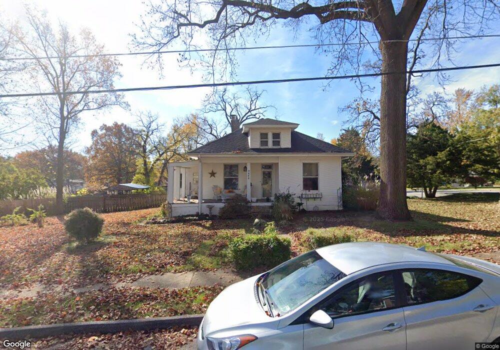
9466 W Milton Ave Saint Louis, MO 63114
Estimated Value: $177,000 - $206,000
2
Beds
2
Baths
1,639
Sq Ft
$117/Sq Ft
Est. Value
About This Home
This home is located at 9466 W Milton Ave, Saint Louis, MO 63114 and is currently estimated at $191,093, approximately $116 per square foot. 9466 W Milton Ave is a home located in St. Louis County with nearby schools including Wyland Elementary School, Ritenour Middle School, and Ritenour Senior High School.
Ownership History
Date
Name
Owned For
Owner Type
Purchase Details
Closed on
Mar 7, 2002
Sold by
Berman Gail Ruckman
Bought by
Berman Gail R
Current Estimated Value
Home Financials for this Owner
Home Financials are based on the most recent Mortgage that was taken out on this home.
Original Mortgage
$60,448
Interest Rate
7.01%
Create a Home Valuation Report for This Property
The Home Valuation Report is an in-depth analysis detailing your home's value as well as a comparison with similar homes in the area
Home Values in the Area
Average Home Value in this Area
Purchase History
| Date | Buyer | Sale Price | Title Company |
|---|---|---|---|
| Berman Gail R | -- | First American Title Co |
Source: Public Records
Mortgage History
| Date | Status | Borrower | Loan Amount |
|---|---|---|---|
| Closed | Berman Gail R | $60,448 |
Source: Public Records
Tax History Compared to Growth
Tax History
| Year | Tax Paid | Tax Assessment Tax Assessment Total Assessment is a certain percentage of the fair market value that is determined by local assessors to be the total taxable value of land and additions on the property. | Land | Improvement |
|---|---|---|---|---|
| 2025 | $2,373 | $32,320 | $7,900 | $24,420 |
| 2024 | $2,373 | $27,720 | $2,720 | $25,000 |
| 2023 | $2,320 | $27,720 | $2,720 | $25,000 |
| 2022 | $2,171 | $22,740 | $3,150 | $19,590 |
| 2021 | $2,171 | $22,740 | $3,150 | $19,590 |
| 2020 | $2,152 | $20,800 | $3,950 | $16,850 |
| 2019 | $2,129 | $20,800 | $3,950 | $16,850 |
| 2018 | $1,989 | $17,480 | $3,190 | $14,290 |
| 2017 | $1,897 | $17,480 | $3,190 | $14,290 |
| 2016 | $1,861 | $17,480 | $3,570 | $13,910 |
| 2015 | $1,904 | $17,480 | $3,570 | $13,910 |
| 2014 | $1,979 | $18,490 | $2,740 | $15,750 |
Source: Public Records
Map
Nearby Homes
- 9515 Marlowe Ave
- 9531 Marlowe Ave
- 2812 Woodson Rd
- 9432 Tudor Ave
- 9640 Tennyson Ave
- 2366 Addie Ave
- 2326 Hood Ave
- 2528 Leslie Ave
- 2420 E Milton Ave Unit R
- 2529 Leslie Ave
- 2527 Leslie Ave
- 2709 W Tennyson Ave
- 2360 Goodale Ave
- 3112 Airway Ave
- 9024 Windom Ave
- 2212 Charlack Ave
- 9017 Tudor Ave
- 2321 Dawes Place
- 3219 Coles Ave
- 3213 Airway Ave
- 2552 Burns Ave
- 9460 W Milton Ave
- 2550 Burns Ave
- 9500 W Milton Ave
- 9437 W Milton Ave
- 9441 W Milton Ave
- 9433 W Milton Ave
- 9429 W Milton Ave
- 9456 W Milton Ave
- 9425 W Milton Ave
- 9449 Tennyson Ave
- 9451 Tennyson Ave
- 9447 Tennyson Ave
- 9423 W Milton Ave
- 9501 W Milton Ave
- 9501 Tennyson Ave
- 9504 W Milton Ave
- 9421 W Milton Ave
- 9435 Tennyson Ave
- 9430 Holtwood Rd