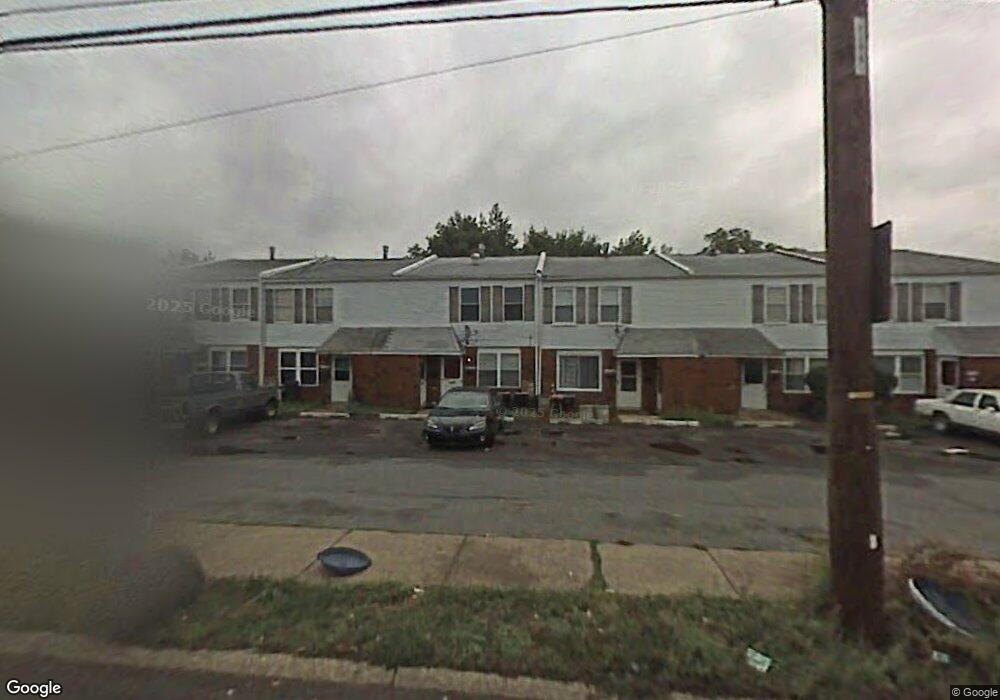
9469 Ashton Rd Philadelphia, PA 19114
Torresdale NeighborhoodEstimated Value: $356,000 - $372,000
--
Bed
--
Bath
1,847
Sq Ft
$197/Sq Ft
Est. Value
About This Home
This home is located at 9469 Ashton Rd, Philadelphia, PA 19114 and is currently estimated at $364,000, approximately $197 per square foot. 9469 Ashton Rd is a home with nearby schools including Lincoln High School, Robert B. Pollock School, and Meehan Austin Middle School.
Ownership History
Date
Name
Owned For
Owner Type
Purchase Details
Closed on
Jul 3, 1990
Bought by
Taus Albert A
Current Estimated Value
Create a Home Valuation Report for This Property
The Home Valuation Report is an in-depth analysis detailing your home's value as well as a comparison with similar homes in the area
Home Values in the Area
Average Home Value in this Area
Purchase History
| Date | Buyer | Sale Price | Title Company |
|---|---|---|---|
| Taus Albert A | $87,500 | -- |
Source: Public Records
Tax History Compared to Growth
Tax History
| Year | Tax Paid | Tax Assessment Tax Assessment Total Assessment is a certain percentage of the fair market value that is determined by local assessors to be the total taxable value of land and additions on the property. | Land | Improvement |
|---|---|---|---|---|
| 2025 | $3,430 | $322,200 | $64,440 | $257,760 |
| 2024 | $3,430 | $322,200 | $64,440 | $257,760 |
| 2023 | $3,430 | $245,000 | $49,000 | $196,000 |
| 2022 | $3,430 | $245,000 | $49,000 | $196,000 |
| 2021 | $2,604 | $0 | $0 | $0 |
| 2020 | $2,604 | $0 | $0 | $0 |
| 2019 | $2,451 | $0 | $0 | $0 |
| 2018 | $2,233 | $0 | $0 | $0 |
| 2017 | $2,233 | $0 | $0 | $0 |
| 2016 | $2,233 | $0 | $0 | $0 |
| 2015 | $2,137 | $0 | $0 | $0 |
| 2014 | -- | $159,500 | $34,801 | $124,699 |
| 2012 | -- | $24,064 | $2,727 | $21,337 |
Source: Public Records
Map
Nearby Homes
- 9428 Woodbridge Rd
- 2843 Woodbridge Rd
- 2833 Saxton Rd
- 3215 Brookdale Rd
- 2710 Riverhouse Rd
- 9328 Academy Rd
- 9311 Andover Rd
- 2738 Maxwell St
- 2831 Sebring Rd
- 2959 Tremont St
- 2777 Welsh Rd
- 9612 Convent Ave
- 2831 Chase Rd
- 3416 Holyoke Rd
- 3414 Aubrey Ave
- 3415 Holyoke Rd
- 9214 Andover Rd
- 3427 Aubrey Ave
- 2742 Welsh Rd
- 3406 Grant Ave
- 9471 Ashton Rd
- 9467 Ashton Rd
- 9473 Ashton Rd
- 9465 Ashton Rd Unit B
- 9475 Ashton Rd
- 9463 Ashton Rd
- 9477 Ashton Rd
- 9454 Fairgreen Ln
- 9461 Ashton Rd
- 9460 Fairgreen Ln
- 9458 Fairgreen Ln
- 9456 Fairgreen Ln
- 9452 Fairgreen Ln
- 9459 Ashton Rd
- 9450 Fairgreen Ln Unit 2F
- 9450 Fairgreen Ln
- 9462 Fairgreen Ln
- 9464 Fairgreen Ln
- 9457 Ashton Rd
- 9448 Fairgreen Ln