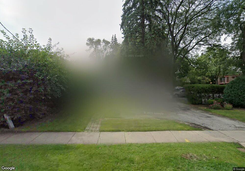
947 Deerfield Rd Deerfield, IL 60015
Estimated Value: $320,000 - $446,000
2
Beds
1
Bath
1,000
Sq Ft
$380/Sq Ft
Est. Value
About This Home
This home is located at 947 Deerfield Rd, Deerfield, IL 60015 and is currently estimated at $379,680, approximately $379 per square foot. 947 Deerfield Rd is a home located in Lake County with nearby schools including Walden Elementary School, Alan B Shepard Middle School, and Deerfield High School.
Ownership History
Date
Name
Owned For
Owner Type
Purchase Details
Closed on
Jul 21, 2016
Sold by
Denic Zoran and Denic Annette
Bought by
Denic Dayon G
Current Estimated Value
Home Financials for this Owner
Home Financials are based on the most recent Mortgage that was taken out on this home.
Original Mortgage
$200,000
Outstanding Balance
$159,247
Interest Rate
3.5%
Mortgage Type
Adjustable Rate Mortgage/ARM
Estimated Equity
$220,433
Purchase Details
Closed on
Jul 7, 2005
Sold by
Meintzer Martin J
Bought by
Denic Zoran and Denic Annette
Home Financials for this Owner
Home Financials are based on the most recent Mortgage that was taken out on this home.
Original Mortgage
$212,500
Interest Rate
5.37%
Mortgage Type
Unknown
Create a Home Valuation Report for This Property
The Home Valuation Report is an in-depth analysis detailing your home's value as well as a comparison with similar homes in the area
Home Values in the Area
Average Home Value in this Area
Purchase History
| Date | Buyer | Sale Price | Title Company |
|---|---|---|---|
| Denic Dayon G | $250,000 | Ct | |
| Denic Zoran | $250,000 | First American Title Ins Co |
Source: Public Records
Mortgage History
| Date | Status | Borrower | Loan Amount |
|---|---|---|---|
| Open | Denic Dayon G | $200,000 | |
| Closed | Denic Zoran | $212,500 |
Source: Public Records
Tax History
| Year | Tax Paid | Tax Assessment Tax Assessment Total Assessment is a certain percentage of the fair market value that is determined by local assessors to be the total taxable value of land and additions on the property. | Land | Improvement |
|---|---|---|---|---|
| 2024 | $5,820 | $72,300 | $32,697 | $39,603 |
| 2023 | $6,769 | $61,792 | $31,379 | $30,413 |
| 2022 | $6,769 | $71,394 | $33,706 | $37,688 |
| 2021 | $6,394 | $68,833 | $32,497 | $36,336 |
| 2020 | $6,149 | $68,977 | $32,565 | $36,412 |
| 2019 | $6,006 | $68,860 | $32,510 | $36,350 |
| 2018 | $5,724 | $68,339 | $34,458 | $33,881 |
| 2017 | $5,679 | $68,121 | $34,348 | $33,773 |
| 2016 | $5,530 | $65,545 | $33,049 | $32,496 |
| 2015 | $5,425 | $61,585 | $31,052 | $30,533 |
| 2014 | $5,738 | $70,246 | $31,275 | $38,971 |
| 2012 | $5,611 | $69,626 | $30,999 | $38,627 |
Source: Public Records
Map
Nearby Homes
- 834 Chestnut St
- 826 Chestnut St
- 954 Osterman Ave
- 950 Brookside Ln
- 525 Mallard Ln
- 1030 Chestnut St
- 1106 Waukegan Rd
- 429 Elm St Unit 5J
- 501 Kelburn Rd
- 421 Elm St Unit 6K
- 1302 Hazel Ave
- 938 Hemlock St
- 926 Cedar St
- 521 Deerfield Rd
- 1004 Broadmoor Place
- 453 Longfellow Ave
- 757 Kipling Place
- 435 Kingston Terrace
- 1151 Walden Ln
- 1054 Broadmoor Place
- 939 Deerfield Rd Unit 2S
- 999 Deerfield Rd
- 944 Sunset Ct
- 940 Sunset Ct
- 950 Sunset Ct
- 934 Sunset Ct
- 1010 Sunset Ct
- 750 Chestnut St
- 740 Chestnut St
- 740 Chestnut St Unit 2
- 1020 Sunset Ct
- 816 Chestnut St Unit 6
- 816 Chestnut St Unit 5
- 818 Chestnut St Unit 4
- 818 Chestnut St Unit 3
- 820 Chestnut St Unit 2
- 820 Chestnut St Unit 1
- 816 Chestnut St Unit B
- 820 Chestnut St Unit 820B
- 818 Chestnut St Unit A
Your Personal Tour Guide
Ask me questions while you tour the home.