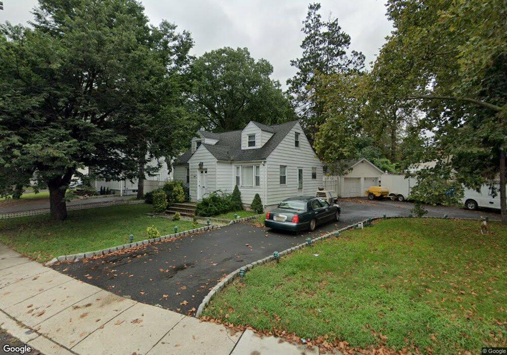
947 Liberty Ave Hillside, NJ 07205
Estimated Value: $443,461 - $583,000
--
Bed
--
Bath
1,504
Sq Ft
$341/Sq Ft
Est. Value
About This Home
This home is located at 947 Liberty Ave, Hillside, NJ 07205 and is currently estimated at $512,865, approximately $341 per square foot. 947 Liberty Ave is a home located in Union County with nearby schools including Abram P. Morris-Saybrook Elementary School, Hurden Looker School, and Calvin Coolidge Elementary School.
Ownership History
Date
Name
Owned For
Owner Type
Purchase Details
Closed on
Apr 30, 1998
Sold by
Federal Home Loan Mortgage Corporation
Bought by
Katsoudas Demetrios
Current Estimated Value
Home Financials for this Owner
Home Financials are based on the most recent Mortgage that was taken out on this home.
Original Mortgage
$77,150
Outstanding Balance
$15,009
Interest Rate
7.05%
Mortgage Type
FHA
Estimated Equity
$497,856
Purchase Details
Closed on
Sep 8, 1997
Sold by
Froehlich Ralph
Bought by
Federal Home Loan Mortgage Corporation
Home Financials for this Owner
Home Financials are based on the most recent Mortgage that was taken out on this home.
Original Mortgage
$161,050
Interest Rate
7.38%
Create a Home Valuation Report for This Property
The Home Valuation Report is an in-depth analysis detailing your home's value as well as a comparison with similar homes in the area
Home Values in the Area
Average Home Value in this Area
Purchase History
| Date | Buyer | Sale Price | Title Company |
|---|---|---|---|
| Katsoudas Demetrios | $79,500 | -- | |
| Federal Home Loan Mortgage Corporation | -- | -- |
Source: Public Records
Mortgage History
| Date | Status | Borrower | Loan Amount |
|---|---|---|---|
| Open | Katsoudas Demetrios | $77,150 | |
| Previous Owner | Federal Home Loan Mortgage Corporation | $161,050 |
Source: Public Records
Tax History Compared to Growth
Tax History
| Year | Tax Paid | Tax Assessment Tax Assessment Total Assessment is a certain percentage of the fair market value that is determined by local assessors to be the total taxable value of land and additions on the property. | Land | Improvement |
|---|---|---|---|---|
| 2025 | $11,802 | $143,000 | $100,500 | $42,500 |
| 2024 | $11,459 | $143,000 | $100,500 | $42,500 |
| 2023 | $11,459 | $143,000 | $100,500 | $42,500 |
| 2022 | $11,353 | $143,000 | $100,500 | $42,500 |
| 2021 | $11,278 | $143,000 | $100,500 | $42,500 |
| 2020 | $11,213 | $143,000 | $100,500 | $42,500 |
| 2019 | $10,995 | $143,000 | $100,500 | $42,500 |
| 2018 | $10,885 | $143,000 | $100,500 | $42,500 |
| 2017 | $10,819 | $143,000 | $100,500 | $42,500 |
| 2016 | $10,807 | $143,000 | $100,500 | $42,500 |
| 2015 | $10,711 | $143,000 | $100,500 | $42,500 |
| 2014 | $10,542 | $143,000 | $100,500 | $42,500 |
Source: Public Records
Map
Nearby Homes
- 1250 Wildwood Terrace
- 314 Fitzpatrick St
- 1048 Chester St
- 292 Crann St
- 1090 Voorhees St
- 969 Arnet Ave
- 257 Herbert Ave
- 410 Rutgers Ave
- 1393 Cornell Place
- 27 Skyview Rd
- 383 Conant St
- 149 Baltimore Ave
- 420 Hollywood Ave
- 167 Silver Ave
- 393 Harvard Ave
- 1470 Brookside Dr
- 155 Silver Ave
- 1370 Beverly Rd
- 386 Yale Ave
- 1282 Baker St
- 951 Liberty Ave
- 605 Conant St
- 601 Conant St
- 593 Conant St
- 620 Livingston Rd
- 604 Plymouth Rd
- 581 Conant St
- 608 Plymouth Rd
- 577 Conant St
- 594 Conant St
- 596 Plymouth Rd
- 590 Conant St
- 601 Plymouth Rd
- 569 Conant St
- 578 Conant St
- 1111 Salem Rd
- 592 Plymouth Rd
- 201 Valley View Rd
- 572 Conant St
- 589 Plymouth Rd