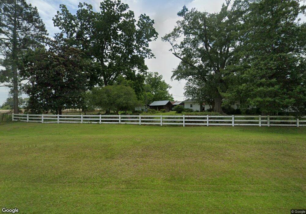
947 Livingston Bridge Rd Norman Park, GA 31771
Estimated Value: $176,000 - $344,000
--
Bed
2
Baths
2,964
Sq Ft
$90/Sq Ft
Est. Value
About This Home
This home is located at 947 Livingston Bridge Rd, Norman Park, GA 31771 and is currently estimated at $266,826, approximately $90 per square foot. 947 Livingston Bridge Rd is a home located in Colquitt County with nearby schools including Norman Park Elementary School, C.A. Gray Junior High School, and Willie J. Williams Middle School.
Ownership History
Date
Name
Owned For
Owner Type
Purchase Details
Closed on
Jul 23, 2019
Sold by
Groover Scott Joan
Bought by
Groover John Aaron
Current Estimated Value
Purchase Details
Closed on
Jan 18, 2012
Sold by
Boddiford Susan
Bought by
Groover John Aaron
Purchase Details
Closed on
Mar 31, 2011
Sold by
Groover Charles Jason
Bought by
Boddiford Susan Groover and Groover Clifford Akins
Purchase Details
Closed on
Oct 18, 2010
Sold by
Groover Charles Jason
Bought by
Groover John Aaron and Groover Clifford Akins
Purchase Details
Closed on
Oct 17, 2003
Sold by
Clark G E
Bought by
Scott Joan G and Maddry Cl
Create a Home Valuation Report for This Property
The Home Valuation Report is an in-depth analysis detailing your home's value as well as a comparison with similar homes in the area
Home Values in the Area
Average Home Value in this Area
Purchase History
| Date | Buyer | Sale Price | Title Company |
|---|---|---|---|
| Groover John Aaron | $273,750 | -- | |
| Groover John Aaron | -- | -- | |
| Boddiford Susan Groover | -- | -- | |
| Groover John Aaron | -- | -- | |
| Scott Joan G | -- | -- |
Source: Public Records
Tax History Compared to Growth
Tax History
| Year | Tax Paid | Tax Assessment Tax Assessment Total Assessment is a certain percentage of the fair market value that is determined by local assessors to be the total taxable value of land and additions on the property. | Land | Improvement |
|---|---|---|---|---|
| 2024 | $2,245 | $97,156 | $6,548 | $90,608 |
| 2023 | $2,049 | $77,876 | $6,548 | $71,328 |
| 2022 | $1,675 | $70,347 | $5,820 | $64,527 |
| 2021 | $1,495 | $61,585 | $5,820 | $55,765 |
| 2020 | $1,422 | $57,545 | $5,820 | $51,725 |
| 2019 | $1,279 | $46,542 | $5,820 | $40,722 |
| 2018 | $1,191 | $46,542 | $5,820 | $40,722 |
| 2017 | $1,350 | $49,614 | $8,892 | $40,722 |
| 2016 | $1,368 | $49,614 | $8,892 | $40,722 |
| 2015 | $1,381 | $49,614 | $8,892 | $40,722 |
| 2014 | $1,355 | $49,614 | $8,892 | $40,722 |
| 2013 | -- | $49,614 | $8,892 | $40,722 |
Source: Public Records
Map
Nearby Homes
- 1396 Livingston Bridge Rd
- 160 Main Street Crosland
- 000 Star Cir
- 000 U S Highway 319
- 173 Middlebrooks St
- 146 Lamar St
- 142 Lamar St
- 122 New St
- 3332 Ellenton Norman Park Rd
- 1427 S Ty Omega Rd
- 0 Sleepy Bear Rd
- 0 Mark Orton Ln
- 1852 Doerun Norman Park Rd
- 0 Murray McCranie Rd Unit 25079284
- 0 Murray McCranie Rd Unit 11586683
- 0 Old Norman Park Rd
- 210 Arrowhead Dr
- 209 Cherokee Dr
- 441 Cherokee Dr
- 221 Rentz Bridge Rd