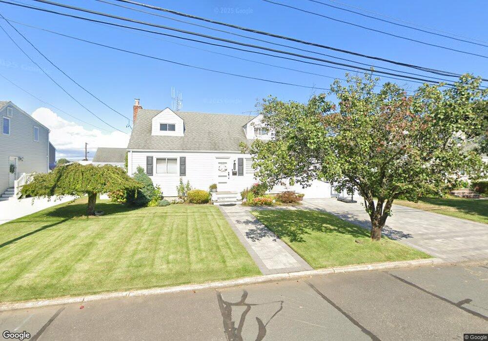
947 N Hamilton Ave Lindenhurst, NY 11757
Estimated Value: $592,788 - $663,000
4
Beds
1
Bath
840
Sq Ft
$754/Sq Ft
Est. Value
About This Home
This home is located at 947 N Hamilton Ave, Lindenhurst, NY 11757 and is currently estimated at $633,197, approximately $753 per square foot. 947 N Hamilton Ave is a home located in Suffolk County with nearby schools including William Rall School, Lindenhurst Middle School, and Lindenhurst Senior High School.
Ownership History
Date
Name
Owned For
Owner Type
Purchase Details
Closed on
Sep 22, 2014
Sold by
Broker Henry G and Broker Edna E
Bought by
Kuzawinski Ewelina and Kuzawinski Maciej
Current Estimated Value
Home Financials for this Owner
Home Financials are based on the most recent Mortgage that was taken out on this home.
Original Mortgage
$259,303
Outstanding Balance
$198,220
Interest Rate
4.1%
Mortgage Type
New Conventional
Estimated Equity
$434,977
Create a Home Valuation Report for This Property
The Home Valuation Report is an in-depth analysis detailing your home's value as well as a comparison with similar homes in the area
Home Values in the Area
Average Home Value in this Area
Purchase History
| Date | Buyer | Sale Price | Title Company |
|---|---|---|---|
| Kuzawinski Ewelina | $272,950 | Stewart Itle |
Source: Public Records
Mortgage History
| Date | Status | Borrower | Loan Amount |
|---|---|---|---|
| Open | Kuzawinski Ewelina | $259,303 |
Source: Public Records
Tax History Compared to Growth
Tax History
| Year | Tax Paid | Tax Assessment Tax Assessment Total Assessment is a certain percentage of the fair market value that is determined by local assessors to be the total taxable value of land and additions on the property. | Land | Improvement |
|---|---|---|---|---|
| 2024 | $9,207 | $2,655 | $280 | $2,375 |
| 2023 | $9,207 | $2,655 | $280 | $2,375 |
| 2022 | $9,476 | $2,655 | $280 | $2,375 |
| 2021 | $9,476 | $2,655 | $280 | $2,375 |
| 2020 | $8,204 | $2,655 | $280 | $2,375 |
| 2019 | $8,204 | $0 | $0 | $0 |
| 2018 | $7,701 | $2,655 | $280 | $2,375 |
| 2017 | $7,701 | $2,655 | $280 | $2,375 |
| 2016 | $7,719 | $2,655 | $280 | $2,375 |
| 2015 | -- | $2,655 | $280 | $2,375 |
| 2014 | -- | $2,655 | $280 | $2,375 |
Source: Public Records
Map
Nearby Homes
- 957 N Fulton Ave
- 940 N Erie Ave
- 156 Farmers Ave
- 430 Heathcote Rd
- 847 N Clinton Ave
- 456 Heathcote Rd
- 697 N Fulton Ave
- 165 Tremont Rd
- 48 Farmers Ave
- 681 N Clinton Ave
- 194 Newark St
- 16 Burton Place
- 0 Tenety Ave Unit 3461459
- 45 Feustal St
- 557 N Kings Ave
- 61 Kellum St Unit A and B
- 61 Kellum St Unit 61A
- 37 Newark St
- 480 N Greene Ave
- 10 Winchester Dr
- 951 N Hamilton Ave
- 941 N Hamilton Ave
- 946 N Indiana Ave
- 950 N Indiana Ave
- 937 N Hamilton Ave
- 940 N Indiana Ave
- 955 N Hamilton Ave
- 946 N Hamilton Ave
- 940 N Hamilton Ave
- 950 N Hamilton Ave
- 956 N Indiana Ave
- 932 N Indiana Ave
- 931 N Hamilton Ave
- 936 N Hamilton Ave
- 956 N Hamilton Ave
- 930 N Hamilton Ave
- 928 N Indiana Ave
- 945 N Greene Ave
- 927 N Hamilton Ave
- 951 N Greene Ave