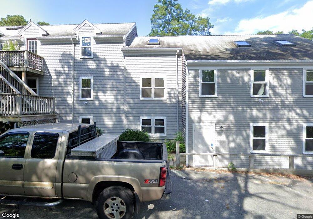
947 Route 6a Unit 8 Yarmouth Port, MA 02675
Yarmouth Port NeighborhoodEstimated Value: $1,026,714
--
Bed
--
Bath
7,493
Sq Ft
$137/Sq Ft
Est. Value
About This Home
This home is located at 947 Route 6a Unit 8, Yarmouth Port, MA 02675 and is currently estimated at $1,026,714, approximately $137 per square foot. 947 Route 6a Unit 8 is a home located in Barnstable County with nearby schools including Dennis-Yarmouth Regional High School.
Ownership History
Date
Name
Owned For
Owner Type
Purchase Details
Closed on
Feb 22, 2023
Sold by
Tac Rt and George
Bought by
Freesteve Rt and Winslow
Current Estimated Value
Home Financials for this Owner
Home Financials are based on the most recent Mortgage that was taken out on this home.
Original Mortgage
$680,000
Outstanding Balance
$657,916
Interest Rate
6.33%
Mortgage Type
Purchase Money Mortgage
Estimated Equity
$368,798
Purchase Details
Closed on
Dec 28, 2012
Sold by
Mid Cape Associates T and Flinkstrom
Bought by
Tac Rt and George
Create a Home Valuation Report for This Property
The Home Valuation Report is an in-depth analysis detailing your home's value as well as a comparison with similar homes in the area
Home Values in the Area
Average Home Value in this Area
Purchase History
| Date | Buyer | Sale Price | Title Company |
|---|---|---|---|
| Freesteve Rt | $850,000 | None Available | |
| Tac Rt | $745,000 | -- | |
| Tac Rt | $745,000 | -- |
Source: Public Records
Mortgage History
| Date | Status | Borrower | Loan Amount |
|---|---|---|---|
| Open | Freesteve Rt | $680,000 | |
| Previous Owner | Tac Rt | $120,000 |
Source: Public Records
Tax History Compared to Growth
Tax History
| Year | Tax Paid | Tax Assessment Tax Assessment Total Assessment is a certain percentage of the fair market value that is determined by local assessors to be the total taxable value of land and additions on the property. | Land | Improvement |
|---|---|---|---|---|
| 2025 | $5,814 | $821,200 | $339,300 | $481,900 |
| 2024 | $6,060 | $821,200 | $339,300 | $481,900 |
| 2023 | $5,048 | $622,500 | $231,900 | $390,600 |
| 2022 | $5,849 | $637,100 | $246,500 | $390,600 |
| 2021 | $6,091 | $637,100 | $246,500 | $390,600 |
| 2020 | $5,714 | $571,400 | $200,400 | $371,000 |
| 2019 | $5,771 | $571,400 | $200,400 | $371,000 |
| 2018 | $5,880 | $571,400 | $200,400 | $371,000 |
| 2017 | $5,725 | $571,400 | $200,400 | $371,000 |
| 2016 | $5,703 | $571,400 | $200,400 | $371,000 |
| 2015 | $5,671 | $564,800 | $200,000 | $364,800 |
Source: Public Records
Map
Nearby Homes
- 6 Nimble Hill Dr
- 59 Main St Unit 19-2
- 59 Route 6a Unit 29-4
- 51 Bray Farm Rd N
- 44 Stratford Ln
- 64 Kates Path
- 34 Kates Path
- 34 Kates Path Unit 34
- 42 John Hall Cartway Unit 42
- 228 Kates Path
- 17 Kates Path Unit A
- 50 John Hall Cartway
- 50 John Hall Cartway Unit 50
- 268 Main St
- 43 Canterbury Rd
- 13 Covey Dr
- 111 Merchant Ave
- 86 Pompano Rd
- 7 Forest Gate Unit 7
- 25 Oak Glen Village Unit 25
- 947 Route 6a
- 953 Route 6a
- 939 Route 6a Unit D2
- 939 Route 6a Unit D
- 939 Route 6a Unit C2
- 939 Route 6a Unit B2
- 939 Route 6a Unit C1
- 939 Route 6a Unit A
- 939 Route 6a Unit D1
- 939 Route 6a Unit F2
- 939 Route 6a Unit F1
- 939 Route 6a Unit B1
- 939 Route 6a Unit E
- 13 Alexander Dr
- 927-935 Route 6a
- 927 Route 6a Unit 933
- 5 Alexander Dr
- 927 Main St
- 3 Alexander Dr
- 960 Massachusetts 6a