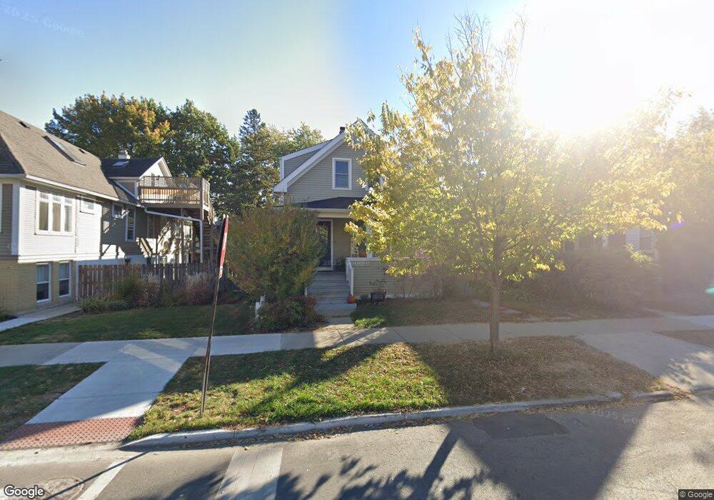
947 Sherman Ave Evanston, IL 60202
Estimated Value: $578,000 - $885,000
3
Beds
2
Baths
1,393
Sq Ft
$531/Sq Ft
Est. Value
About This Home
This home is located at 947 Sherman Ave, Evanston, IL 60202 and is currently estimated at $740,127, approximately $531 per square foot. 947 Sherman Ave is a home located in Cook County with nearby schools including Lincoln Elementary School, Washington Elementary School, and Nichols Middle School.
Ownership History
Date
Name
Owned For
Owner Type
Purchase Details
Closed on
Jun 30, 1999
Sold by
Brady Charles A and Brady Kathleen Q
Bought by
Ocarroll Nicholas L and Ocarroll Martha J
Current Estimated Value
Home Financials for this Owner
Home Financials are based on the most recent Mortgage that was taken out on this home.
Original Mortgage
$199,600
Outstanding Balance
$54,718
Interest Rate
7.29%
Estimated Equity
$685,409
Create a Home Valuation Report for This Property
The Home Valuation Report is an in-depth analysis detailing your home's value as well as a comparison with similar homes in the area
Home Values in the Area
Average Home Value in this Area
Purchase History
| Date | Buyer | Sale Price | Title Company |
|---|---|---|---|
| Ocarroll Nicholas L | $249,500 | Centennial Title Incorporate |
Source: Public Records
Mortgage History
| Date | Status | Borrower | Loan Amount |
|---|---|---|---|
| Open | Ocarroll Nicholas L | $199,600 |
Source: Public Records
Tax History Compared to Growth
Tax History
| Year | Tax Paid | Tax Assessment Tax Assessment Total Assessment is a certain percentage of the fair market value that is determined by local assessors to be the total taxable value of land and additions on the property. | Land | Improvement |
|---|---|---|---|---|
| 2024 | $13,413 | $58,001 | $14,823 | $43,178 |
| 2023 | $12,842 | $58,001 | $14,823 | $43,178 |
| 2022 | $12,842 | $58,001 | $14,823 | $43,178 |
| 2021 | $12,764 | $50,789 | $8,624 | $42,165 |
| 2020 | $12,651 | $50,789 | $8,624 | $42,165 |
| 2019 | $12,434 | $55,813 | $8,624 | $47,189 |
| 2018 | $11,170 | $43,672 | $7,276 | $36,396 |
| 2017 | $10,893 | $43,672 | $7,276 | $36,396 |
| 2016 | $10,554 | $43,672 | $7,276 | $36,396 |
| 2015 | $9,034 | $35,841 | $6,063 | $29,778 |
| 2014 | $8,962 | $35,841 | $6,063 | $29,778 |
| 2013 | $8,739 | $35,841 | $6,063 | $29,778 |
Source: Public Records
Map
Nearby Homes
- 1022 Elmwood Ave
- 900 Chicago Ave Unit 413
- 515 Main St Unit 709
- 836 Elmwood Ave Unit 2
- 524 Hamilton St
- 929 Washington St Unit 404
- 811 Chicago Ave Unit 309
- 811 Chicago Ave Unit 308
- 811 Chicago Ave Unit 407
- 835 Ridge Ave Unit 507
- 816 Hinman Ave Unit 4
- 1114 Main St Unit 1W
- 1210 Chicago Ave Unit C204
- 1210 Chicago Ave Unit C202
- 1236 Chicago Ave Unit B703
- 240 Lee St Unit G
- 1120 Forest Ave
- 828 Monroe St
- 937 Forest Ave Unit 3
- 721 Hinman Ave Unit 1W
- 943 Sherman Ave
- 949 Sherman Ave Unit 2
- 949 Sherman Ave
- 949 Sherman Ave Unit 3
- 941 Sherman Ave
- 1005 Sherman Ave
- 937 Sherman Ave
- 946 Custer Ave Unit S
- 933 Sherman Ave Unit 933
- 946 Sherman Ave
- 1007 Sherman Ave Unit 2
- 931 Sherman Ave Unit 931
- 942 Sherman Ave
- 942 Sherman Ave
- 1013 Sherman Ave
- 929 Sherman Ave
- 929 Sherman Ave Unit A
- 936 Sherman Ave
- 940 Sherman Ave
- 1017 Sherman Ave