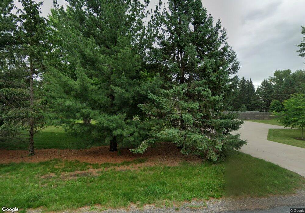
947 Sherman Rd Hudson, WI 54016
Estimated Value: $426,000 - $485,000
4
Beds
1
Bath
--
Sq Ft
1
Acres
About This Home
This home is located at 947 Sherman Rd, Hudson, WI 54016 and is currently estimated at $469,687. 947 Sherman Rd is a home located in St. Croix County with nearby schools including Willow River Elementary School, Hudson Middle School, and Hudson High School.
Ownership History
Date
Name
Owned For
Owner Type
Purchase Details
Closed on
Dec 14, 2022
Sold by
Hutton Matthew M and Hutton Ember R
Bought by
Matthew M Hutton And Ember R Hutton Revocable
Current Estimated Value
Purchase Details
Closed on
Feb 9, 2011
Sold by
Associated Bank N A
Bought by
Hutton Matthew M and Hutton Ember R
Purchase Details
Closed on
Nov 15, 2010
Sold by
Wang Mark A and Wang Mary J
Bought by
Associated Bank N A
Create a Home Valuation Report for This Property
The Home Valuation Report is an in-depth analysis detailing your home's value as well as a comparison with similar homes in the area
Home Values in the Area
Average Home Value in this Area
Purchase History
| Date | Buyer | Sale Price | Title Company |
|---|---|---|---|
| Matthew M Hutton And Ember R Hutton Revocable | -- | -- | |
| Hutton Matthew M | $131,100 | Portage County Title | |
| Associated Bank N A | $170,800 | None Available |
Source: Public Records
Tax History Compared to Growth
Tax History
| Year | Tax Paid | Tax Assessment Tax Assessment Total Assessment is a certain percentage of the fair market value that is determined by local assessors to be the total taxable value of land and additions on the property. | Land | Improvement |
|---|---|---|---|---|
| 2024 | $43 | $434,600 | $76,600 | $358,000 |
| 2023 | $4,216 | $434,600 | $76,600 | $358,000 |
| 2022 | $4,057 | $301,400 | $54,100 | $247,300 |
| 2021 | $4,012 | $301,400 | $54,100 | $247,300 |
| 2020 | $3,895 | $301,400 | $54,100 | $247,300 |
| 2019 | $3,761 | $301,400 | $54,100 | $247,300 |
| 2018 | $3,336 | $301,400 | $54,100 | $247,300 |
| 2017 | $3,077 | $195,900 | $31,500 | $164,400 |
| 2016 | $3,077 | $195,900 | $31,500 | $164,400 |
| 2015 | $2,786 | $195,900 | $31,500 | $164,400 |
| 2014 | $2,621 | $195,900 | $31,500 | $164,400 |
| 2013 | $2,688 | $195,900 | $31,500 | $164,400 |
Source: Public Records
Map
Nearby Homes
- Lot 11 Elbert Dr
- Lot 25 Brookwood Dr
- Lot 22 Brookwood Dr
- Lot 18 Elbert
- Lot 10 Elbert Dr
- Lot 21 Elbert
- Lot 26 Brookwood Dr
- Lot 13 Elbert Dr
- Lot 1 Brookwood Dr
- Lot 27 Brookwood
- Lot 19 Elbert Dr
- Lot 4 Brookwood Dr
- Lot 28 Brookwood Dr
- Lot 15 Elbert Dr
- Lot 17 Elbert Dr
- Lot 5 Brookwood Dr
- Lot 24 Brookwood Dr
- Lot 3 Dr
- Lot 9 Elbert Dr
- Lot 12 Elbert Dr
- 945 Sherman Rd
- 941 Sherman Rd
- 942 Sherman Rd
- 468 Brookwood Dr
- 470 Brookwood Dr
- 939 Mike Cir
- 940 Mike Cir
- 942 Mike Cir
- 962 Sherman Rd
- 469 Brookwood Dr
- 454 Brookwood Dr
- 471 Brookwood Dr
- 453 Brookwood Dr
- 937 Becky Cir
- 447 Green Mill Ln
- 935 Sherman Ln
- 451 Brookwood Dr
- Lot 8 Elbert Dr
- 941 Becky Cir
- 940 Becky Cir
