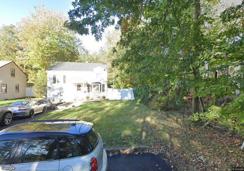
947 Sterling St Unit 49 Plainfield, NJ 07062
Estimated Value: $396,808 - $479,000
Studio
--
Bath
855
Sq Ft
$523/Sq Ft
Est. Value
About This Home
This home is located at 947 Sterling St Unit 49, Plainfield, NJ 07062 and is currently estimated at $447,452, approximately $523 per square foot. 947 Sterling St Unit 49 is a home located in Union County with nearby schools including Frederic W. Cook School, Emerson Community School, and Maxson Middle School.
Ownership History
Date
Name
Owned For
Owner Type
Purchase Details
Closed on
Jun 30, 2004
Sold by
Solomon Howard
Bought by
Andreson David and Rea George
Current Estimated Value
Home Financials for this Owner
Home Financials are based on the most recent Mortgage that was taken out on this home.
Original Mortgage
$216,502
Outstanding Balance
$108,868
Interest Rate
6.32%
Estimated Equity
$338,584
Purchase Details
Closed on
Apr 26, 2002
Sold by
Parello James A
Bought by
Solomon Howard
Home Financials for this Owner
Home Financials are based on the most recent Mortgage that was taken out on this home.
Original Mortgage
$110,400
Interest Rate
7.13%
Mortgage Type
Unknown
Create a Home Valuation Report for This Property
The Home Valuation Report is an in-depth analysis detailing your home's value as well as a comparison with similar homes in the area
Home Values in the Area
Average Home Value in this Area
Purchase History
| Date | Buyer | Sale Price | Title Company |
|---|---|---|---|
| Andreson David | $219,000 | -- | |
| Solomon Howard | $131,000 | -- |
Source: Public Records
Mortgage History
| Date | Status | Borrower | Loan Amount |
|---|---|---|---|
| Open | Andreson David | $216,502 | |
| Previous Owner | Solomon Howard | $110,400 |
Source: Public Records
Tax History
| Year | Tax Paid | Tax Assessment Tax Assessment Total Assessment is a certain percentage of the fair market value that is determined by local assessors to be the total taxable value of land and additions on the property. | Land | Improvement |
|---|---|---|---|---|
| 2025 | $8,287 | $94,900 | $45,000 | $49,900 |
| 2024 | $8,205 | $94,900 | $45,000 | $49,900 |
| 2023 | $8,205 | $94,900 | $45,000 | $49,900 |
| 2022 | $8,028 | $94,900 | $45,000 | $49,900 |
| 2021 | $7,957 | $94,900 | $45,000 | $49,900 |
| 2020 | $7,935 | $94,900 | $45,000 | $49,900 |
| 2019 | $7,935 | $94,900 | $45,000 | $49,900 |
| 2018 | $7,769 | $94,900 | $45,000 | $49,900 |
| 2017 | $7,579 | $94,900 | $45,000 | $49,900 |
| 2016 | $7,424 | $94,900 | $45,000 | $49,900 |
| 2015 | $7,205 | $94,900 | $45,000 | $49,900 |
| 2014 | -- | $94,900 | $45,000 | $49,900 |
Source: Public Records
Map
Nearby Homes
- 904 Sterling St
- 930 Cushing Place Unit 32
- 837 Coolidge St Unit 39
- 848 Adam Cir
- 603 Terrill Rd
- 1464 Jean Terrace Unit 68
- 519 Terrill Rd
- 45 Kempshall Terrace
- 481 Terrill Rd
- 1231 Sunnyfield Ln
- 1224 Sunnyfield Ln
- 917 Fernwood Ave Unit 23
- 835 Dixie Ln Unit 37
- 15 La Grande Ave
- 807 Berkeley Ave Unit 9
- 1510 Ramapo Way
- 19 Highlander Dr
- 771 Ravine Rd
- 767 Ravine Rd Unit 73
- 7 Robin Rd
- 943 Sterling St Unit 45
- 939 Sterling St Unit 41
- 921 Post Dr Unit 23
- 1289 Wald Dr Unit 93
- 1288 Cambridge Ave Unit 92
- 1290 Cambridge Ave
- 912 Knollwood Ct Unit 18
- 1284 Cambridge Ave Unit 86
- 929 Sterling St Unit 31
- 1281 Wald Dr Unit 87
- 925 Post Dr Unit 29
- 1280 Cambridge Ave Unit 82
- 920 Knollwood Ct Unit 28
- 928 Sterling St Unit 32
- 925 Sterling St Unit 27
- 1276 Cambridge Ave Unit 78
- 1273 Wald Dr Unit 79
- 938 Post Dr Unit 44
- 931 Post Dr Unit 37
- 919 Sterling St Unit 23
Your Personal Tour Guide
Ask me questions while you tour the home.