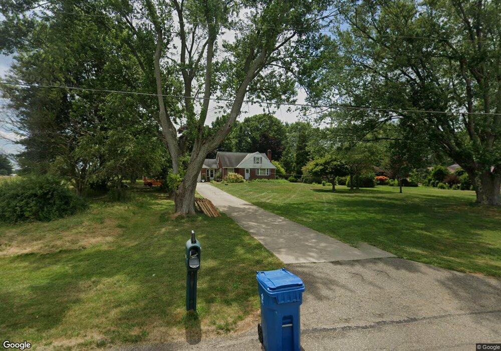
9474 Louisville St Louisville, OH 44641
Estimated Value: $185,000 - $253,000
3
Beds
2
Baths
1,476
Sq Ft
$147/Sq Ft
Est. Value
About This Home
This home is located at 9474 Louisville St, Louisville, OH 44641 and is currently estimated at $216,759, approximately $146 per square foot. 9474 Louisville St is a home located in Stark County with nearby schools including Louisville High School and St. Thomas Aquinas High School & Middle School.
Ownership History
Date
Name
Owned For
Owner Type
Purchase Details
Closed on
Mar 30, 2007
Sold by
Leuenberger Charles E and Leuenberger Jean G
Bought by
Carl Bryan C and Carl Valerie J
Current Estimated Value
Home Financials for this Owner
Home Financials are based on the most recent Mortgage that was taken out on this home.
Original Mortgage
$142,267
Interest Rate
6.31%
Mortgage Type
FHA
Create a Home Valuation Report for This Property
The Home Valuation Report is an in-depth analysis detailing your home's value as well as a comparison with similar homes in the area
Home Values in the Area
Average Home Value in this Area
Purchase History
| Date | Buyer | Sale Price | Title Company |
|---|---|---|---|
| Carl Bryan C | $144,500 | None Available |
Source: Public Records
Mortgage History
| Date | Status | Borrower | Loan Amount |
|---|---|---|---|
| Closed | Carl Bryan C | $142,267 |
Source: Public Records
Tax History Compared to Growth
Tax History
| Year | Tax Paid | Tax Assessment Tax Assessment Total Assessment is a certain percentage of the fair market value that is determined by local assessors to be the total taxable value of land and additions on the property. | Land | Improvement |
|---|---|---|---|---|
| 2025 | -- | $51,490 | $16,170 | $35,320 |
| 2024 | -- | $51,490 | $16,170 | $35,320 |
| 2023 | $2,200 | $45,260 | $11,450 | $33,810 |
| 2022 | $2,206 | $45,260 | $11,450 | $33,810 |
| 2021 | $2,213 | $45,260 | $11,450 | $33,810 |
| 2020 | $1,947 | $42,080 | $10,330 | $31,750 |
| 2019 | $1,955 | $42,080 | $10,330 | $31,750 |
| 2018 | $1,948 | $42,080 | $10,330 | $31,750 |
| 2017 | $1,791 | $36,930 | $8,120 | $28,810 |
| 2016 | $1,782 | $37,560 | $8,750 | $28,810 |
| 2015 | $1,787 | $37,560 | $8,750 | $28,810 |
| 2014 | $1,684 | $32,760 | $7,630 | $25,130 |
| 2013 | $846 | $32,760 | $7,630 | $25,130 |
Source: Public Records
Map
Nearby Homes
- 2015 E Main St
- 2110 Edmar St
- 1812 E Broad St
- 1715 High St
- 5495 Meese Rd NE
- 3390 Meese Rd NE
- 0 Michigan Blvd
- 5765 Maplegrove St
- 308 Superior St
- 641 S Nickelplate St
- 520 S Silver St
- 1170 Winding Ridge Ave
- 6052 N Nickelplate St
- 728 E Broad St
- 910 Crosswyck Cir
- 325 Lincoln Ave
- 908 Sand Lot Cir
- 204 E Broad St
- 510 S Bauman Ct
- 107 E Broad St
- 9464 Louisville St
- 9444 Louisville St
- 4415 Swallen Ave
- 9420 Louisville St
- 9400 Louisville St
- 9368 Louisville St
- 9580 Louisville St
- 9595 Louisville St
- 9604 Louisville St NE
- 9604 Louisville St
- 9611 Louisville St
- 4440 Swallen Ave
- 4375 Swallen Ave
- 4375 Swallen Ave
- 4420 Swallen Ave
- 9636 Louisville St
- 9626 Sommerville St
- 9609 Sommerville St
- 4400 Swallen Ave
- 9647 Louisville St