9475 Sunnyside Ln Port Wing, WI 54865
Estimated Value: $242,000 - $359,000
--
Bed
--
Bath
--
Sq Ft
10
Acres
About This Home
This home is located at 9475 Sunnyside Ln, Port Wing, WI 54865 and is currently estimated at $289,358. 9475 Sunnyside Ln is a home located in Bayfield County with nearby schools including South Shore Elementary School and South Shore Junior/Senior High School.
Ownership History
Date
Name
Owned For
Owner Type
Purchase Details
Closed on
Dec 6, 2017
Sold by
Hauglid Dan K
Bought by
Hauglid John Robert
Current Estimated Value
Home Financials for this Owner
Home Financials are based on the most recent Mortgage that was taken out on this home.
Original Mortgage
$60,000
Outstanding Balance
$15,627
Interest Rate
3.94%
Mortgage Type
New Conventional
Estimated Equity
$273,731
Create a Home Valuation Report for This Property
The Home Valuation Report is an in-depth analysis detailing your home's value as well as a comparison with similar homes in the area
Home Values in the Area
Average Home Value in this Area
Purchase History
| Date | Buyer | Sale Price | Title Company |
|---|---|---|---|
| Hauglid John Robert | $50,000 | Cu Title Svcs Inc |
Source: Public Records
Mortgage History
| Date | Status | Borrower | Loan Amount |
|---|---|---|---|
| Open | Hauglid John Robert | $60,000 |
Source: Public Records
Tax History Compared to Growth
Tax History
| Year | Tax Paid | Tax Assessment Tax Assessment Total Assessment is a certain percentage of the fair market value that is determined by local assessors to be the total taxable value of land and additions on the property. | Land | Improvement |
|---|---|---|---|---|
| 2024 | $2,997 | $146,400 | $24,500 | $121,900 |
| 2023 | $1,899 | $114,600 | $24,500 | $90,100 |
| 2022 | $1,727 | $114,600 | $24,500 | $90,100 |
| 2021 | $1,746 | $114,600 | $24,500 | $90,100 |
| 2020 | $1,724 | $92,600 | $18,500 | $74,100 |
| 2019 | $1,760 | $92,600 | $18,500 | $74,100 |
| 2018 | $1,566 | $92,600 | $18,500 | $74,100 |
| 2017 | $1,539 | $92,600 | $18,500 | $74,100 |
| 2016 | $1,639 | $92,600 | $18,500 | $74,100 |
| 2015 | $1,549 | $92,600 | $18,500 | $74,100 |
| 2013 | $1,495 | $95,000 | $20,900 | $74,100 |
Source: Public Records
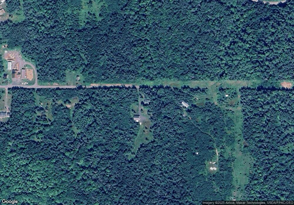
Map
Nearby Homes
- 828XX White Birch Rd
- 11 Acres on State Highway 13
- 1xxxx State Highway 13
- 36.6 acres off Okerstrom St
- Lots 19-24 Helsing Rd
- 83360 Washington Ave
- Lots 13-18, Block 14 Okerstrom St
- 36.6 acres on Okerstrom Rd
- Lots 13-18 Okerstrom Rd
- Lots 19-24, Block 14 Helsing Rd
- 8920 School Rd
- 10550 Flagg River Rd
- 85780 Smith Dr
- 85780 Smith Rd
- 13240 Touve Rd
- 54XX Old Hwy 13
- 6.03 Acres E Orienta Falls Rd
- 14770 Touve Rd
- 79170 Severson Rd
- 40 Acres Near Lenawee Rd
- 9300 Sunnyside Ln
- 0 Sunnyside Ln
- 9499 Sunnyside Ln
- 9250 Sunnyside Ln
- 9255 Sunnyside Ln
- 82730 White Birch Rd
- 9225 Sunnyside Ln
- 9265 State Highway 13
- 9085 Hwy 13
- 9285 State Highway 13
- 9215 Sunnyside Ln
- 82720 White Birch Rd
- 9085 State Highway 13
- 24xx State Highway 13
- 123XX State Highway 13
- 57BB State Highway 13
- 64XX State Highway 13
- 25XX-Lots 1,2 State Highway 13
- 6365 State Highway 13
- XXX State Highway 13