9477 W 2250 S Cedar City, UT 84720
Estimated Value: $219,000 - $906,976
--
Bed
--
Bath
--
Sq Ft
20.53
Acres
About This Home
This home is located at 9477 W 2250 S, Cedar City, UT 84720 and is currently estimated at $530,659. 9477 W 2250 S is a home located in Iron County with nearby schools including Iron Springs School, Canyon View Middle School, and Canyon View High School.
Ownership History
Date
Name
Owned For
Owner Type
Purchase Details
Closed on
Aug 15, 2024
Sold by
Hepworth Jennifer
Bought by
Kendall And Jennifer Hepworth Family Trust and Hepworth
Current Estimated Value
Purchase Details
Closed on
Jun 7, 2021
Sold by
Trotter Lorie and Trotter Bart Thomas
Bought by
Briggs Darrin M and Briggs Andrea C
Home Financials for this Owner
Home Financials are based on the most recent Mortgage that was taken out on this home.
Original Mortgage
$669,240
Interest Rate
2.9%
Mortgage Type
VA
Create a Home Valuation Report for This Property
The Home Valuation Report is an in-depth analysis detailing your home's value as well as a comparison with similar homes in the area
Home Values in the Area
Average Home Value in this Area
Purchase History
| Date | Buyer | Sale Price | Title Company |
|---|---|---|---|
| Kendall And Jennifer Hepworth Family Trust | -- | None Listed On Document | |
| Briggs Darrin M | -- | Cedar Land Title Inc |
Source: Public Records
Mortgage History
| Date | Status | Borrower | Loan Amount |
|---|---|---|---|
| Previous Owner | Briggs Darrin M | $669,240 |
Source: Public Records
Tax History Compared to Growth
Tax History
| Year | Tax Paid | Tax Assessment Tax Assessment Total Assessment is a certain percentage of the fair market value that is determined by local assessors to be the total taxable value of land and additions on the property. | Land | Improvement |
|---|---|---|---|---|
| 2025 | $4,619 | $592,472 | $182,574 | $409,898 |
| 2024 | $4,346 | $557,485 | $173,880 | $383,605 |
| 2023 | $4,346 | $549,885 | $173,880 | $376,005 |
| 2022 | $3,950 | $441,540 | $117,400 | $324,140 |
| 2021 | $2,618 | $292,600 | $60,910 | $231,690 |
| 2020 | $2,652 | $262,530 | $60,910 | $201,620 |
| 2019 | $410 | $236,245 | $60,910 | $175,335 |
| 2018 | $477 | $227,955 | $60,910 | $167,045 |
| 2017 | $579 | $218,185 | $60,910 | $157,275 |
| 2016 | $2,843 | $238,305 | $62,845 | $175,460 |
| 2015 | $2,980 | $238,305 | $0 | $0 |
| 2014 | $2,854 | $215,420 | $0 | $0 |
Source: Public Records
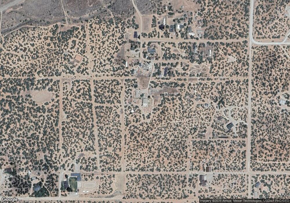
Map
Nearby Homes
- .66 Acres Off Hwy 56 & 9500 W
- 9035 W 1900 S
- 4367 W 1900 S
- 4206 W 1900 S
- 9410 W 2200 S
- 8592 W 2200 S
- 1 AF Water South Hwy 56
- 1 AF Water South of Hwy 56
- 1/2 Acre Ft Water South Hwy 56
- 1/2 ACRE Ft Water South of Hwy 56
- 13245 W 3000 S
- 8023 W 1800 S
- 7945 W 1800 S
- 7745 W 1800 S
- 7700 W 2400 S
- 0 50 63 Acres Hwy 56 Unit 112353
- 0 50 Acres Hwy 56 Unit 25-263327
- 2304 S 11900 W
- 9460 W 2175 S
- 2162 S 9500 W
- 2276 S 9300 W
- 9420 W 2200 S
- 2130 S 9500 W
- 9380 W 2400 S
- 9450 W 2400 S
- 9657 W Highway 56
- 19.88 Acres 2400 S Hwy 56
- 24.66 Ac S
- 9638 W 2400 S
- 2405 S 9300 W
- 9676 W 2400 S
- 9251 W 2200 S
- 9251 W 2200 S Unit 19.62 ACRES
- 9755 W Highway 56
- 20 Ac Bumblebee Rd & 2400 S
- 9170 W 2400 S
- 9224 W 2200 S
- 9150 W 2400 S