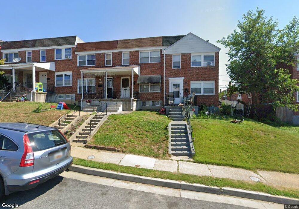
948 Dalton Ave Baltimore, MD 21224
Estimated Value: $133,929 - $204,000
Studio
1
Bath
1,024
Sq Ft
$164/Sq Ft
Est. Value
About This Home
This home is located at 948 Dalton Ave, Baltimore, MD 21224 and is currently estimated at $168,232, approximately $164 per square foot. 948 Dalton Ave is a home located in Baltimore County with nearby schools including Berkshire Elementary School, Holabird Middle School, and Patapsco High & Center for Arts.
Ownership History
Date
Name
Owned For
Owner Type
Purchase Details
Closed on
May 7, 2015
Sold by
Price Leo William and Price Edward L
Bought by
Price Edward L
Current Estimated Value
Purchase Details
Closed on
Nov 1, 2002
Sold by
Price Leo William
Bought by
Price Leo William and Price Edward L
Purchase Details
Closed on
Dec 27, 1996
Sold by
Price Leo W
Bought by
Price William Lee and Price Dorothy H Price Edward L
Purchase Details
Closed on
Jan 15, 1959
Sold by
Bedford Holding Co
Bought by
Price Leo W
Create a Home Valuation Report for This Property
The Home Valuation Report is an in-depth analysis detailing your home's value as well as a comparison with similar homes in the area
Home Values in the Area
Average Home Value in this Area
Purchase History
| Date | Buyer | Sale Price | Title Company |
|---|---|---|---|
| Price Edward L | -- | Attorney | |
| Price Leo William | -- | -- | |
| Price William Lee | -- | -- | |
| Price Leo W | $10,000 | -- |
Source: Public Records
Tax History
| Year | Tax Paid | Tax Assessment Tax Assessment Total Assessment is a certain percentage of the fair market value that is determined by local assessors to be the total taxable value of land and additions on the property. | Land | Improvement |
|---|---|---|---|---|
| 2025 | $1,920 | $130,733 | -- | -- |
| 2024 | $1,920 | $120,067 | $0 | $0 |
| 2023 | $907 | $109,400 | $30,000 | $79,400 |
| 2022 | $1,772 | $108,000 | $0 | $0 |
| 2021 | $1,694 | $106,600 | $0 | $0 |
| 2020 | $1,694 | $105,200 | $30,000 | $75,200 |
| 2019 | $1,680 | $101,467 | $0 | $0 |
| 2018 | $1,784 | $97,733 | $0 | $0 |
| 2017 | $1,713 | $94,000 | $0 | $0 |
| 2016 | $1,616 | $90,100 | $0 | $0 |
| 2015 | $1,616 | $86,200 | $0 | $0 |
| 2014 | $1,616 | $82,300 | $0 | $0 |
Source: Public Records
Map
Nearby Homes
- 1006 Dalton Ave
- 7525 Lange St
- 7428 Poplar Ave
- 7483 Berkshire Rd
- 7515 Belmont Ave
- 7506 Belmont Ave
- 7406 Poplar Ave
- 7404 Poplar Ave
- 7412 Belmont Ave
- 7627 Carson Ave
- 7503 Cypress Ave
- 1213 Willow Rd
- 7475 Rabon Ave
- 619 N Point Rd
- 7503 Riddle Ave
- 1237 Willow Rd
- 1205 N Point Rd
- 874 Mildred Ave
- 8031 Bank St
- 2408 Meadow Rd
Your Personal Tour Guide
Ask me questions while you tour the home.